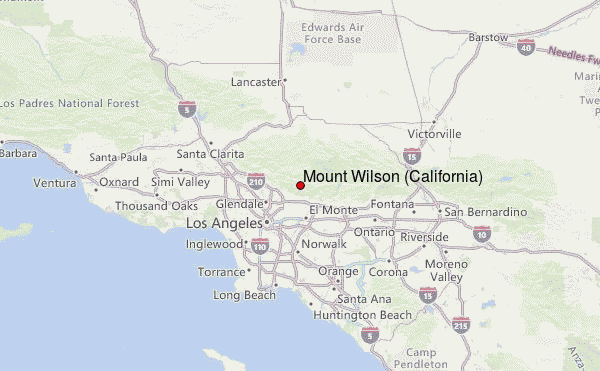
– Lat/Long: 34.22° N 118.06° W
 Mount Wilson (California) – Climbing, Hiking & Mountaineering information
Mount Wilson (California) – Climbing, Hiking & Mountaineering information
Mount Wilson (California) mountain guide
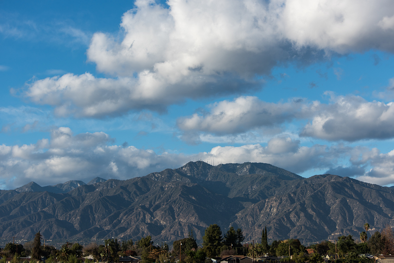
- Elevation: 1741 m
- Difficulty: Intermediate/difficult
- Best months to climb: All year
- Convenient center:
Mount Wilson (California) Climbing Notes
Click here to submit your own climbing note for Mount Wilson (California) |
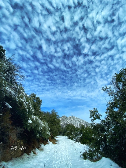
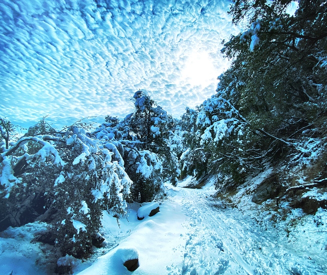
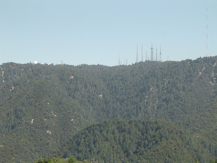
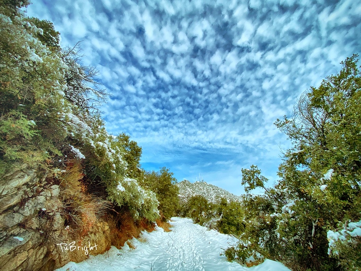
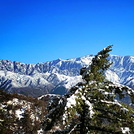
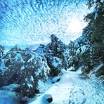
Latest Gallery Images for Mount Wilson (California)
| Select a
mountain summit from the menu |
||
|
Select a Mountain Summit
|
||
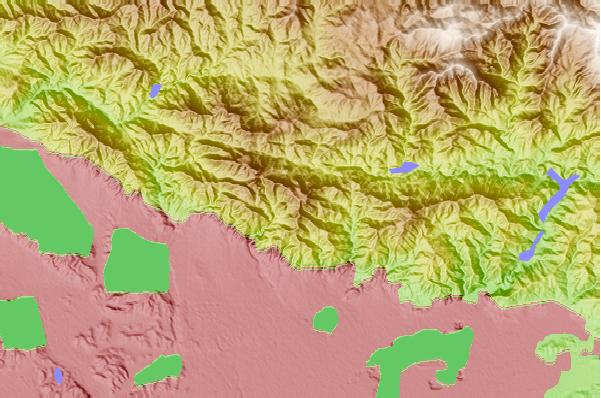
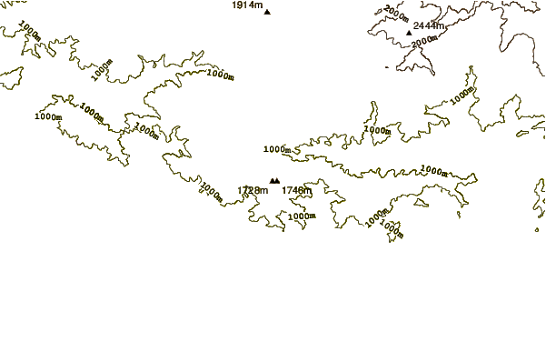
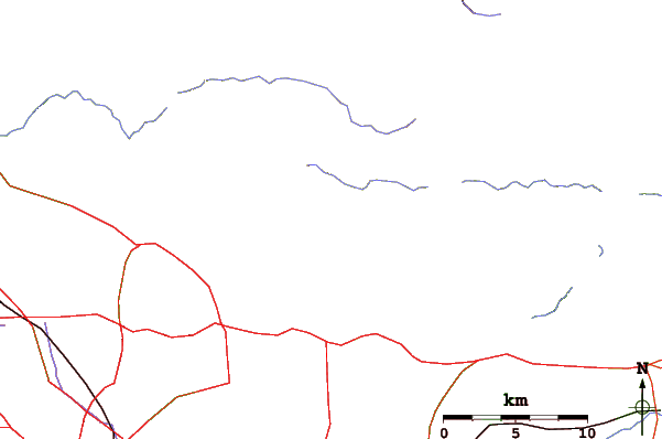
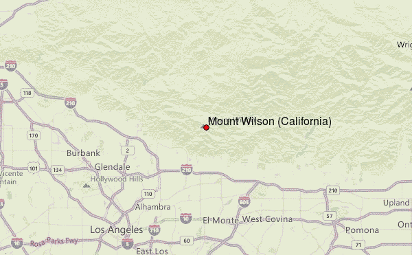
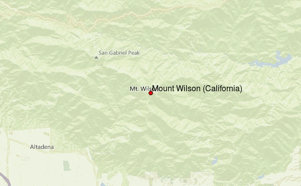
Use this relief map to navigate to mountain peaks in the area of Mount Wilson (California).
10 other mountain peaks closest to Mount Wilson (California):
| 1. | San Gabriel Peak (1878 m) | 3.9 km |
| 2. | Mount Lowe (California) (1708 m) | 4.1 km |
| 3. | Mount Disappointment (California) (1817 m) | 4.7 km |
| 4. | Echo Mountain (977 m) | 5.6 km |
| 5. | Strawberry Peak (1879 m) | 8.5 km |
| 6. | Vetter Mountain (1801 m) | 8.7 km |
| 7. | Waterman Mountain (2450 m) | 17.0 km |
| 8. | Mount Lukens, California (1544 m) | 17.0 km |
| 9. | Mount Islip (2514 m) | 24.5 km |
| 10. | South Mount Hawkins (2372 m) | 25.1 km |
 Like us
 Follow us
