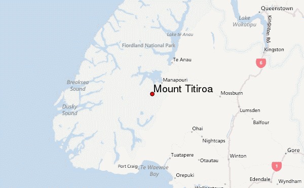
Mount Titiroa mountain guide
- Elevation: 1715 m
- Difficulty:
- Best months to climb:
- Convenient center:
Mount Titiroa Climbing Notes
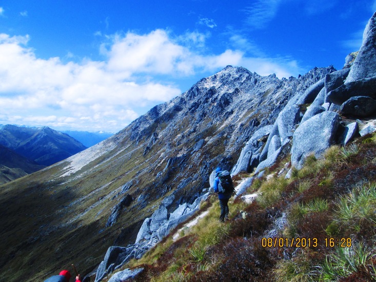
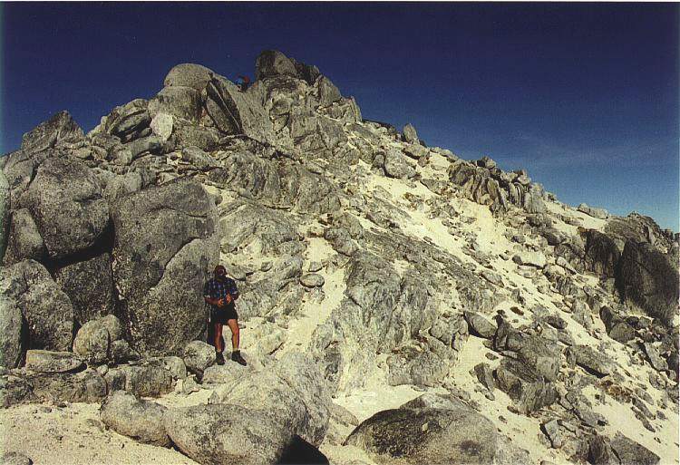
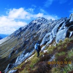
Kylie Krippner from NEW ZEALAND writes:
From Garnock Burn is a steep climb through bush to gain high point 785. There is no track but I'm sure folks have ascended all over the aspect and nowhere is 'great'. I skirted under the bluffs to the left to gain 785. Once on the tops follow your nose and high ground to 1017 and out of the bush to clear spectacular views. Easy plod to summit. I left Hope Arm with bivy gear at 0930 and arrived back to camp at Garnock Burn at 7pm. I took a reciprocal heading from 1017 to 785 and then to the river which came in handy as in the bush you can't see anything!
Totally worth it, the peak is quite unique.
2021-01-31 |
Click here to submit your own climbing note for Mount Titiroa
|
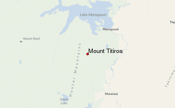
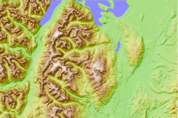
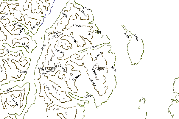
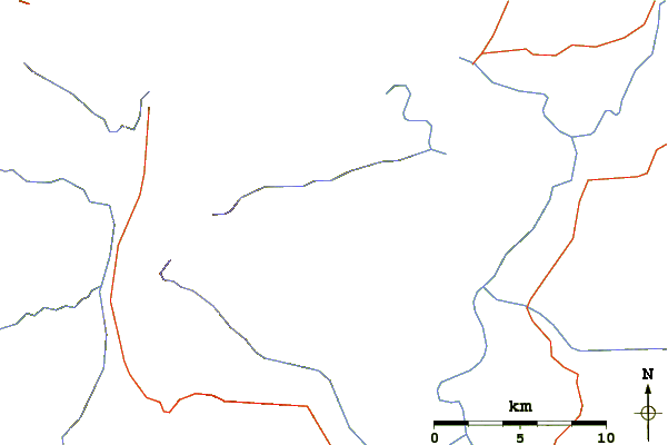
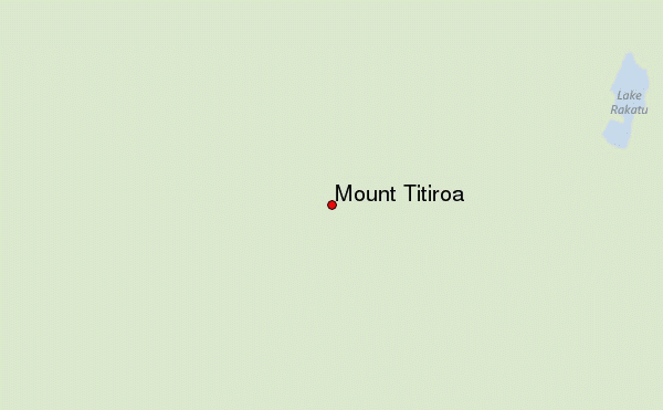
Select Mount Titiroa Location Map Detail:
Use this relief map to navigate to mountain peaks in the area of Mount Titiroa.
10 other mountain peaks closest to Mount Titiroa:
 Mount Titiroa – Climbing, Hiking & Mountaineering information
 Like us
 Follow us
