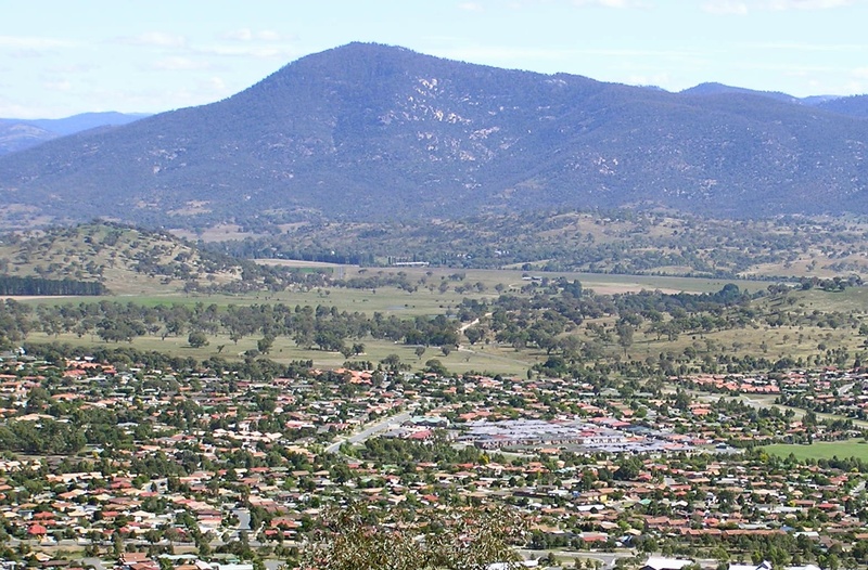
Mount Tennent mountain guide
- Elevation: 1375 m
- Difficulty:
- Best months to climb:
- Convenient center:
Mount Tennent Climbing Notes
Oliver from AUSTRALIA writes:
A relatively easy walk (although there is 800m elevation gain to the summit) from the Namadgi Visitor Centre, which is well sign-posted. The last 2km is on a 4WD track.
https://hikingtheworld.blog/2018/08/30/mount-tennent-namadgi-np/
2018-09-08 |
Click here to submit your own climbing note for Mount Tennent
|
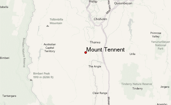
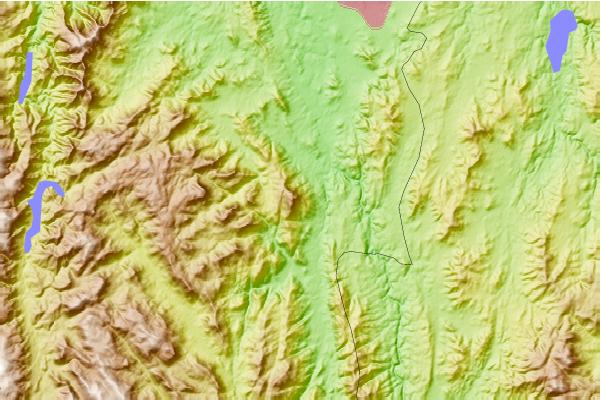
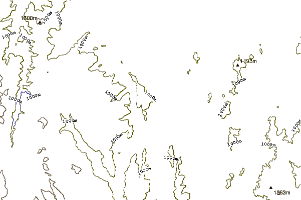
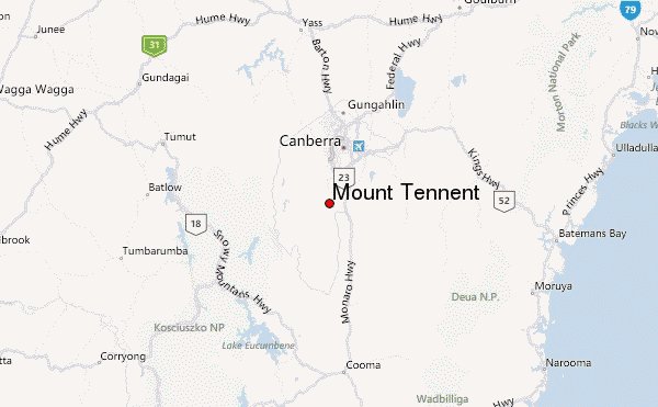
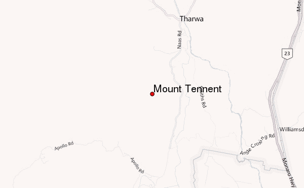
Select Mount Tennent Location Map Detail:
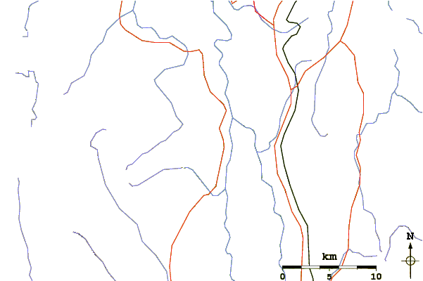
Use this relief map to navigate to mountain peaks in the area of Mount Tennent.
10 other mountain peaks closest to Mount Tennent:
 Mount Tennent – Climbing, Hiking & Mountaineering information

 Like us
 Follow us
