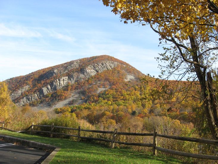
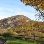
Mount Tammany mountain guide
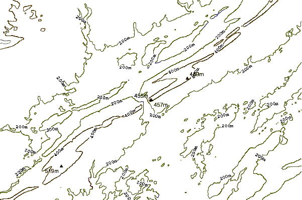
- Elevation: 465 m
- Difficulty:
- Best months to climb:
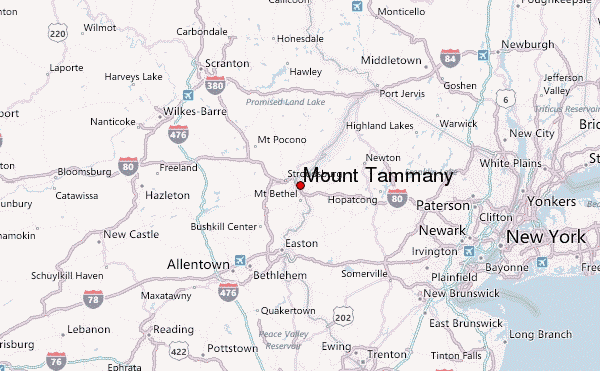
- Convenient center:
Mount Tammany Climbing Notes
jose from UNITED STATES writes:
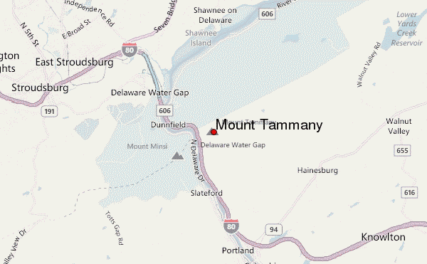
Trail head red dot start to entrance of about 30 car lot next to west bound route 80, east side of Delaware river. 456 mt or 1350 feet elevation over 1 mile distance of rocky surface, 0.5 to 2 feet size rocks surrounded by trees with 3 areas at different altitudes to observe down the river and the Minsi mountain on the other side. The way up takes about 1 hour and the way down another hour via blue dot trail less rocky, 3 to 6 inches size rocks,less steep,finally connect to the green dot trail next to the 6 foot wide creek back to the parking lot. The whole circle can be done fast in 1 hour or less total time. Is windy only 200 yards section on the top. No stroller or bicycles.
2015-01-03 |
Click here to submit your own climbing note for Mount Tammany
|
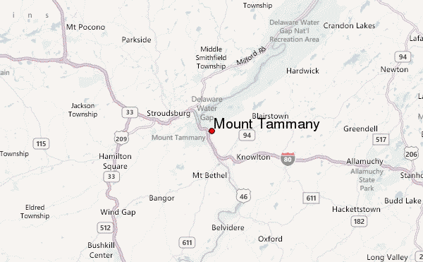
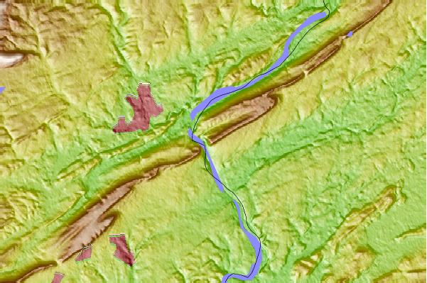
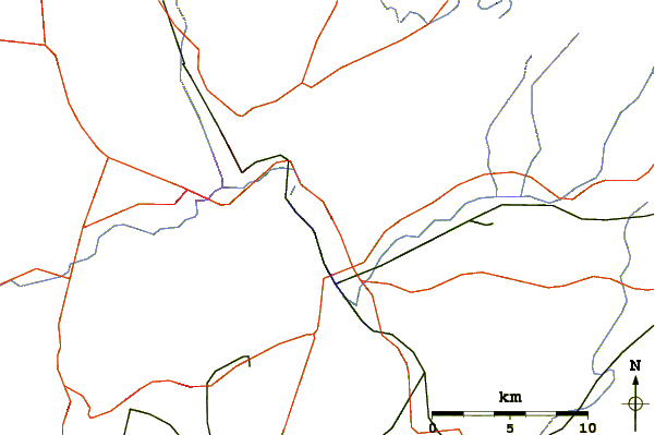
Select Mount Tammany Location Map Detail:
Use this relief map to navigate to mountain peaks in the area of Mount Tammany.
10 other mountain peaks closest to Mount Tammany:
 Mount Tammany – Climbing, Hiking & Mountaineering information
 Like us
 Follow us
