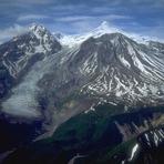
Mount Spurr mountain guide
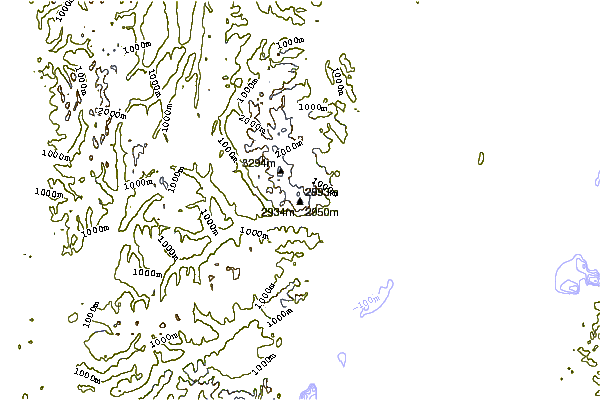
- Elevation: 3374 m
- Difficulty:
- Best months to climb: April, May, June, July, August, September, October
- Convenient center: Anchorage
Mount Spurr Climbing Notes
AlaskaBarb from UNITED STATES writes:
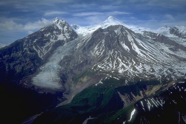
Pretty crevasse-y on three sides. Bring your ladder.
Approaching from the west side of Cook Inlet, it’s a 30+ mile slog up a braided stream that connects to the east side of Chakachatna River to approach the southeast, or south side, from a second connecting stream, or by float plane to Chakachamna Lake on southwest side. From there, it’s only 8 or 9 miles up an old lahar channel on the mountain slope, with fewer bears. Spurr is an active volcano that last erupted in the late summer of 1992, so there’s that. Ash remnants of the eruption are still evident on the lower slopes. The nearest settlement is probably Tyonek, or around Beluga Power Plant, which are both next to Cook Inlet. If anyone has found an easier approach, please correct me.
2020-12-19 |
Click here to submit your own climbing note for Mount Spurr
|
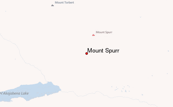
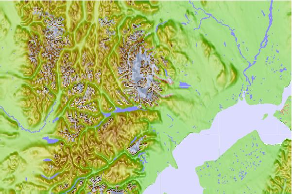
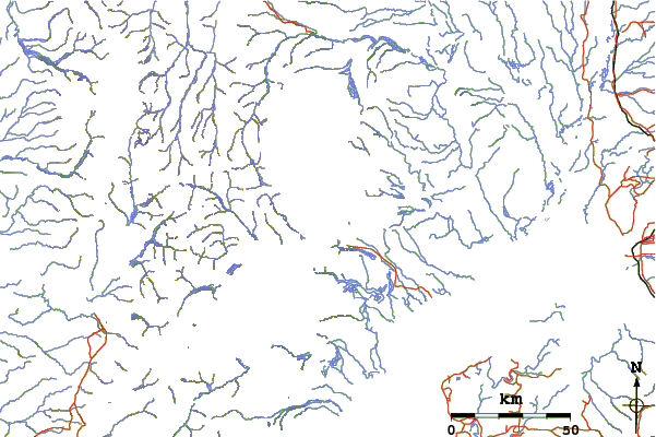
Select Mount Spurr Location Map Detail:
Use this relief map to navigate to mountain peaks in the area of Mount Spurr.
10 other mountain peaks closest to Mount Spurr:
 Mount Spurr – Climbing, Hiking & Mountaineering information
 Like us
 Follow us
