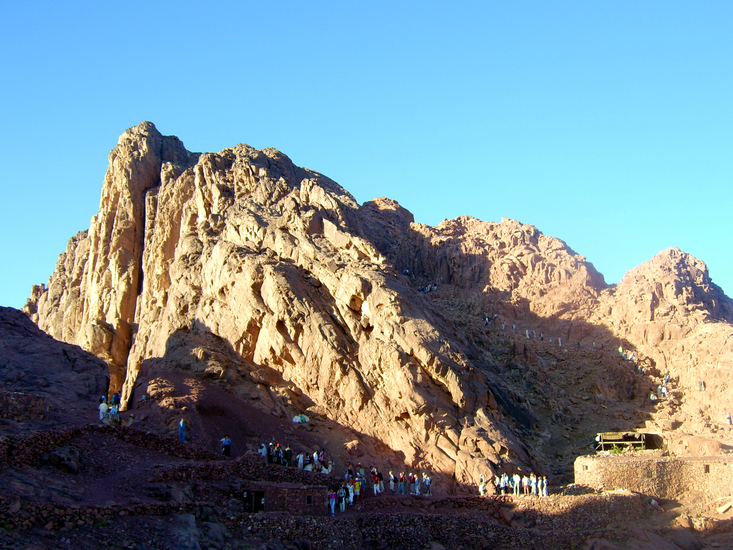
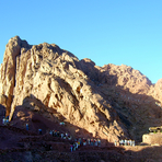
Mount Sinai mountain guide
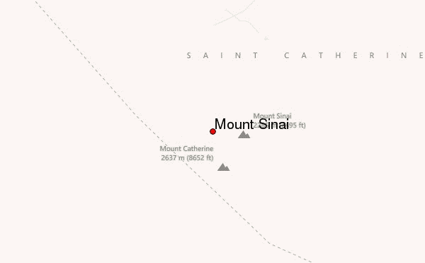
- Elevation: 2640 m
- Difficulty: Walk up
- Best months to climb: April, May, June
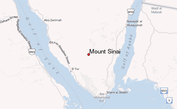
- Convenient center: Abu Rudeis, Egypt, (over 70 miles) Elate, Israel, (nearly 170 miles) Camping is permitted near the mountain, and St. Catherine's monastery has limited accomodations
Mount Sinai Climbing Notes
Zoltan from HUNGARY writes:
There is a wide range of accommodation in the town of St. Katherine, plus at the Monastery of St. Katherine, in the Mount Sina ecolodge in Wadi Isbaiya and at Ramadan's Garden in Wadi Arbain. On the top of Mt. Sinai there are cafeterias that provide blankets and a place to sleep, the little cave of Salah Abu Ghalaba and a walled campsite in Elijah's Basin. You can see an exact hiking trail to Mt. Sinai via Wadi Arbain and Jebel Safsafa with waypoints and photos on the SinaiMaps website.
2013-12-31 |
Click here to read 1 more climbing note for Mount Sinai or submit your own
|
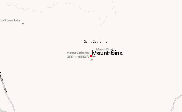
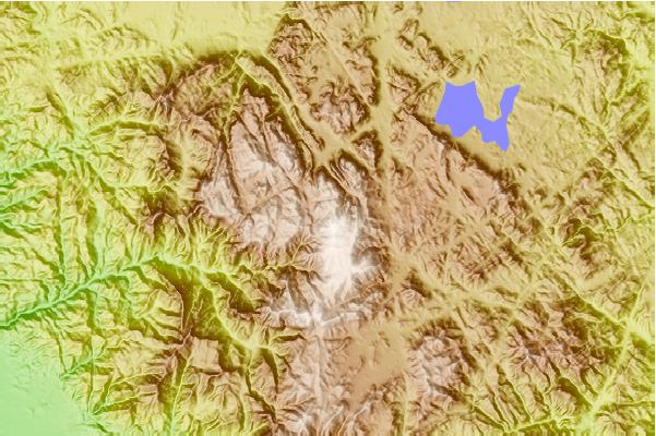
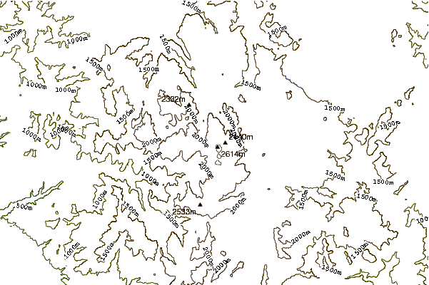
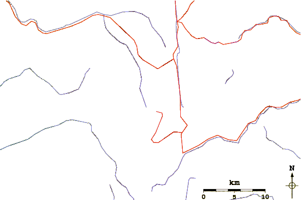
Select Mount Sinai Location Map Detail:
Use this relief map to navigate to mountain peaks in the area of Mount Sinai.
10 other mountain peaks closest to Mount Sinai:
 Mount Sinai – Climbing, Hiking & Mountaineering information
 Like us
 Follow us
