– Lat/Long: 39.34° N 106.00° W
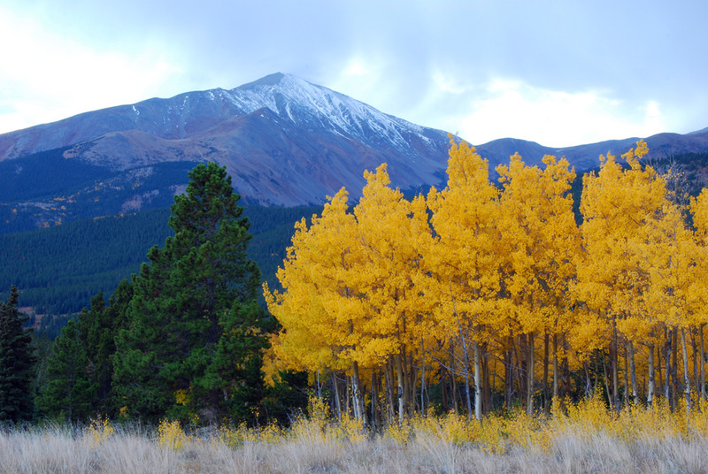
 Mount Silverheels – Climbing, Hiking & Mountaineering information
Mount Silverheels – Climbing, Hiking & Mountaineering information
Mount Silverheels mountain guide
- Elevation: 4213 m
- Difficulty: Walk up
- Best months to climb: June, July, August, September
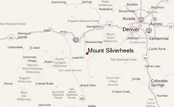
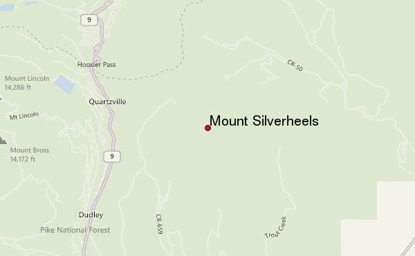
- Convenient center: Fairplay or Breckenridge
Mount Silverheels Climbing NotesBe the first to submit your climbing note! Please submit any useful information about climbing Mount Silverheels that may be useful to other climbers. Consider things such as access and accommodation at the base of Mount Silverheels, as well as the logistics of climbing to the summit. |

| Select a
mountain summit from the menu |
||
|
Select a Mountain Summit
|
||
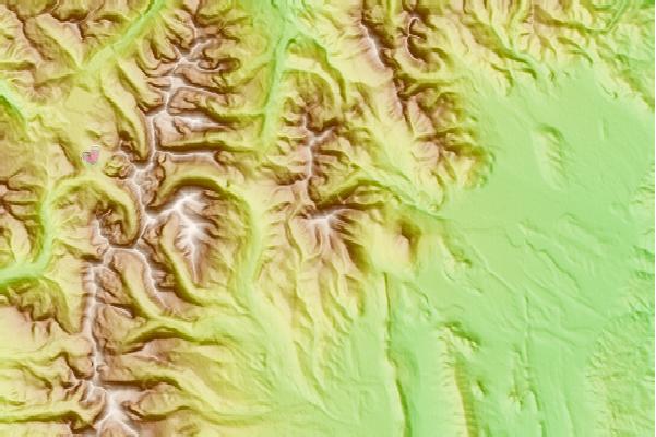
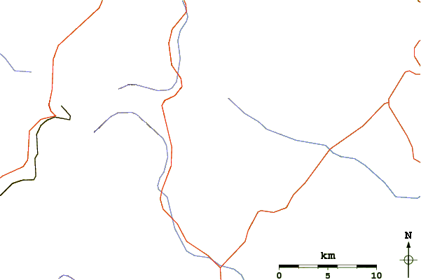
Use this relief map to navigate to mountain peaks in the area of Mount Silverheels.
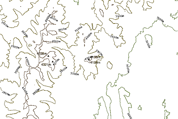
10 other mountain peaks closest to Mount Silverheels:
| 1. | Mount Bross (4320 m) | 8.8 km |
| 2. | Mount Lincoln (Colorado) (4354 m) | 9.2 km |
| 3. | Mount Cameron (4340 m) | 9.8 km |
| 4. | Quandary Peak (4348 m) | 10.8 km |
| 5. | Mount Democrat (4312 m) | 11.5 km |
| 6. | Bald Mountain (Colorado) (4171 m) | 12.1 km |
| 7. | Mount Helen (4151 m) | 12.2 km |
| 8. | Fletcher Mountain (4252 m) | 12.8 km |
| 9. | Crystal Peak (Tenmile Range) (4222 m) | 14.1 km |
| 10. | Mount Sherman (4278 m) | 19.0 km |
 Like us
 Follow us
