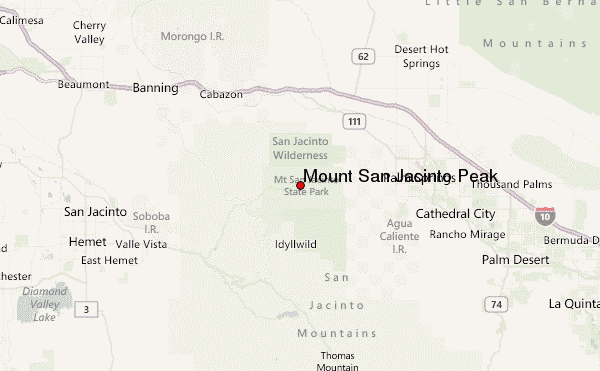
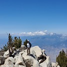
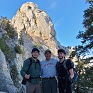
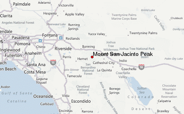
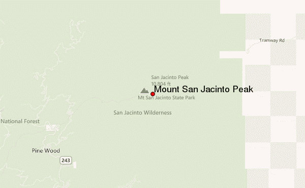
I hiked San Jacinto yesterday (7/6/2023) with my brother and our two friends who are brothers as well and we started at Deer Springs Trailhead in Idyllwild which is one of the longest trails to the peak at about 19 miles roundtrip (looping east down the Tram trail to the PCT trail to Strawberry Junction and back down do the Deer Springs trailhead). Deer Springs Trailhead on a Thursday basically meant that we had the trail entirely to ourselves for a solid 7 or so miles which was glorious.
Water:
Water sources are abundant on every side of the mountain due to the large amount of rain/snow we had earlier this year so not only are all of the main water sources flowing beautifully, but there are a bunch of smaller creeks that are normally dry, but flowing as well. All water crossings are easy and manageable with normal hiking shoes and there was never any risk of submerging our feet into water. There are several locations along the trail where the actual trail acts as a conduit for some of the water flow until it reaches it's normal channel that flows down the mountain. These sections of water flow on the trail covered anywhere from 5 to 20 feet sections depending on the section you're at. These are easy to navigate and they are wet and muddy but not a big deal and it just causes the bottom of your shoes to be wet/muddy. Just be careful as you walk through because if there are some rocks/boulders that you have to navigate over after these sections, be mindful that your first several steps WILL be slippery on an angled rock so watch your steps after walking through these sections.
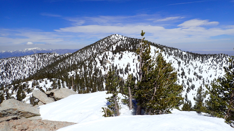
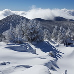
Snow (and Peak) Conditions:
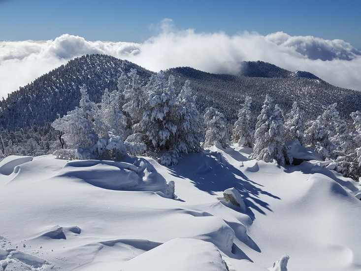
You'll start coming across some patches of snow on the north facing sides of the mountain. Most of these patches are on the side of the trail and surrounding areas but there are a few spots where the snow is across the trail. Most hikers have made temp trails around them but some snow patches are small enough to step over. The worst of it was at the peak. We stayed to the right as we went up the peak and we ended up picking the wrong route by doing so because we had to trek up through several thick patches of snow. Coming down the peak, we stayed to the right this time to avoid the snow patches we ran into coming up. This proved fruitful because there were no snow patches at all going down to the right which is really a south to south-west path down the peak. I quickly realized why this was the best route to go up and down because it gets the brunt of the sun during the day so all the snow melted off that side already.
Trail Conditions:
There are several sections throughout the trail, mostly on the western and north side of the mountain, where trees have fallen more recently and so hikers have created little trail detours around those fallen trees. When you come upon one, take a moment or two to scan the terrain to the left and right of you so that you can identify where the temp path has been created.
Bug Infestation (Gnats):
This was my 3rd year in a row hiking San Jacinto and I've never seen so many gnats flying around as during yesterday's trip and I have a strong suspicion that there were so many due to how much water is available all around the mountain. They seemed most prevalent around the water features. They were SO annoying because the moment you stop to take a break, they would mostly start flying around your head and face (not so much your arms or other extremities). This was a real bummer because we were planning on stopping and taking a 20 minute break about 5 miles into the hike but almost immediately realized that this was going to be impossible due to the amount of gnats that would just show up and get in our faces within seconds of stopping. The only way to avoid the issue was to keep hiking, keep moving. We took short breaks but never for too long because like clockwork, they would just start gravitating towards us the moment we stopped. This kept up for most the entire hike but wasn't an issue at the peak due to the elevation, exposure, and elevated wind conditions. If we would have known about this prior to coming, we would have likely brought hats with nets that cover our face or something.
The experience was worth it, even with the gnats. One of the most beautiful hikes around, especially if you loop around as you go back down. 19 miles in 10.5 hours for us. Started at about 7 am.
 Mount San Jacinto Peak – Climbing, Hiking & Mountaineering information
 Like us
 Follow us
