– Lat/Long: 36.59° N 118.29° W
 Mount Russell – Climbing, Hiking & Mountaineering information
Mount Russell – Climbing, Hiking & Mountaineering information
Mount Russell mountain guide
- Elevation: 4293 m
- Difficulty: Scramble
- Best months to climb: June, July, August, September
- Convenient center: Lone Pine, California
Mount Russell Climbing NotesBe the first to submit your climbing note! Please submit any useful information about climbing Mount Russell that may be useful to other climbers. Consider things such as access and accommodation at the base of Mount Russell, as well as the logistics of climbing to the summit. |
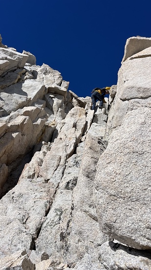
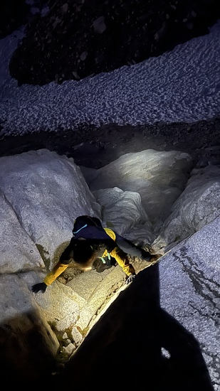
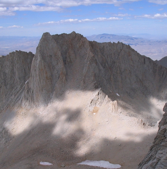
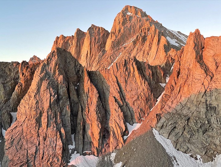
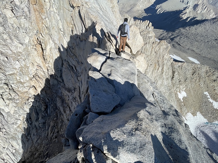
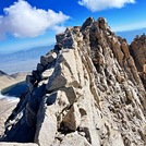
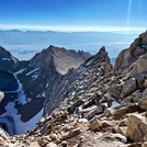
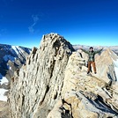
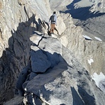
Latest Gallery Images for Mount Russell
| Select a
mountain summit from the menu |
||
|
Select a Mountain Summit
|
||
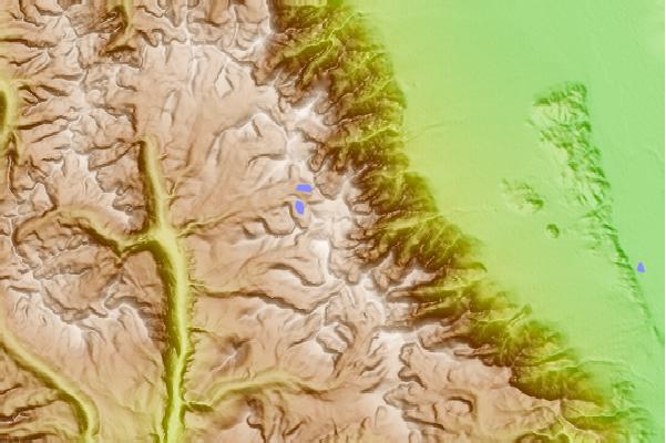
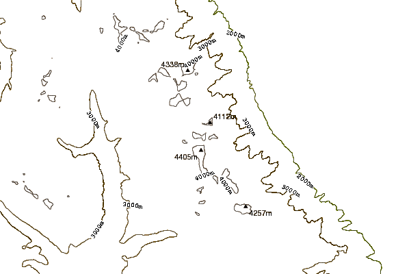
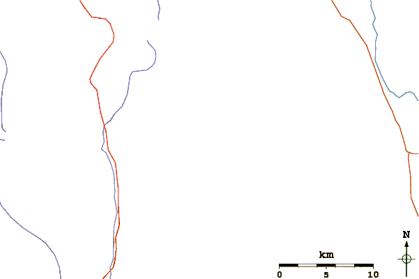
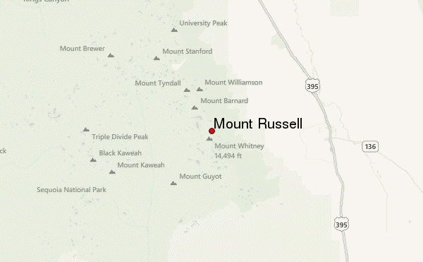
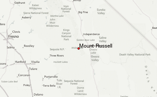
Use this relief map to navigate to mountain peaks in the area of Mount Russell.
10 other mountain peaks closest to Mount Russell:
| 1. | Mount Whitney (4418 m) | 1.3 km |
| 2. | Mount Muir (4271 m) | 2.9 km |
| 3. | Mount Irvine (4241 m) | 4.5 km |
| 4. | Mount McAdie (4206 m) | 4.6 km |
| 5. | Mount Mallory (4220 m) | 5.2 km |
| 6. | Mount Barnard (4264 m) | 5.2 km |
| 7. | Mount Le Conte (California) (4246 m) | 6.4 km |
| 8. | Lone Pine Peak (3945 m) | 6.6 km |
| 9. | Mount Williamson (4380 m) | 7.5 km |
| 10. | Keeler Needle (4347 m) | 7.6 km |
 Like us
 Follow us
