– Lat/Long: 33.94° N 109.60° W
 Mount Ord (Apache County, Arizona) – Climbing, Hiking & Mountaineering information
Mount Ord (Apache County, Arizona) – Climbing, Hiking & Mountaineering information
Mount Ord (Apache County, Arizona) mountain guide
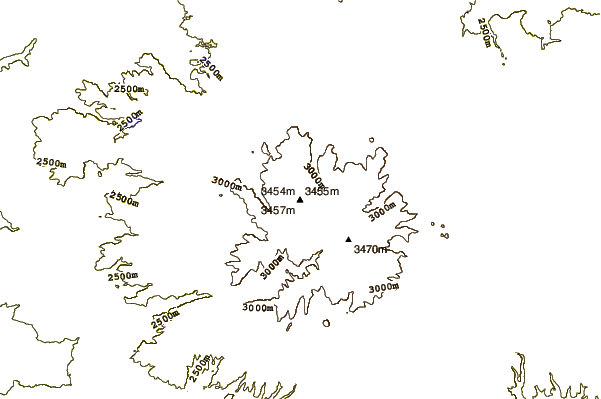
- Elevation: 3463 m
- Difficulty:
- Best months to climb:
- Convenient center:
Mount Ord (Apache County, Arizona) Climbing NotesBe the first to submit your climbing note! Please submit any useful information about climbing Mount Ord (Apache County, Arizona) that may be useful to other climbers. Consider things such as access and accommodation at the base of Mount Ord (Apache County, Arizona), as well as the logistics of climbing to the summit. |
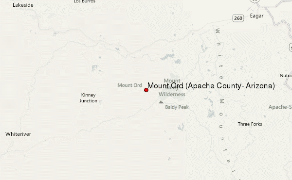
Select Mount Ord (Apache County, Arizona) Location Map Detail:
| Select a
mountain summit from the menu |
||
|
Select a Mountain Summit
|
||
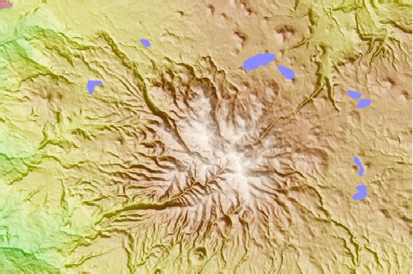
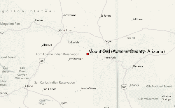
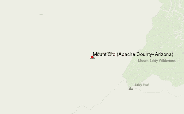
Use this relief map to navigate to mountain peaks in the area of Mount Ord (Apache County, Arizona).
10 other mountain peaks closest to Mount Ord (Apache County, Arizona):
| 1. | Sunrise Peak (Arizona) (3437 m) | 4.8 km |
| 2. | Mount Baldy (Arizona) (3481 m) | 5.3 km |
| 3. | Big Mountain (2134 m) | 40.6 km |
| 4. | Escudilla Mountain (3326 m) | 44.5 km |
| 5. | Black Mesa (Navajo County, Arizona) (1864 m) | 66.3 km |
| 6. | Red Hill volcanic field (1897 m) | 95.8 km |
| 7. | San Carlos volcanic field (1000 m) | 97.2 km |
| 8. | Eagle Peak (New Mexico) (2983 m) | 99.7 km |
| 9. | Whitewater Baldy (3321 m) | 112.5 km |
| 10. | Mount Graham (3267 m) | 139.9 km |
 Like us
 Follow us
