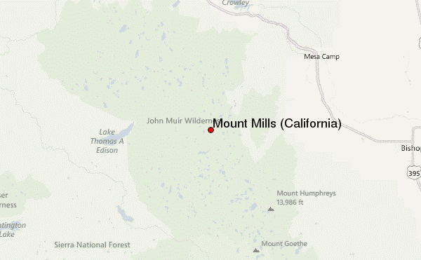
– Lat/Long: 37.39° N 118.79° W
 Mount Mills (California) – Climbing, Hiking & Mountaineering information
Mount Mills (California) – Climbing, Hiking & Mountaineering information
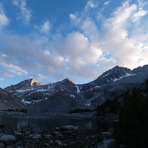
Mount Mills (California) mountain guide
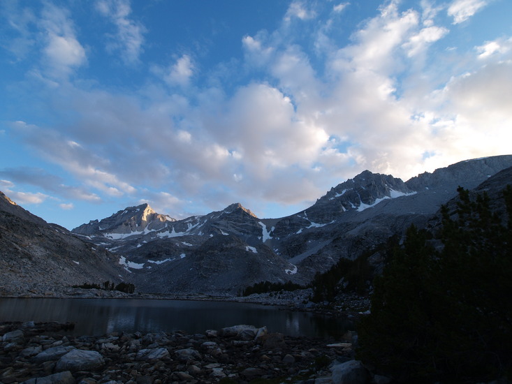
- Elevation: 4100 m
- Difficulty:
- Best months to climb:
- Convenient center:
Mount Mills (California) Climbing NotesBe the first to submit your climbing note! Please submit any useful information about climbing Mount Mills (California) that may be useful to other climbers. Consider things such as access and accommodation at the base of Mount Mills (California), as well as the logistics of climbing to the summit. |
| Select a
mountain summit from the menu |
||
|
Select a Mountain Summit
|
||
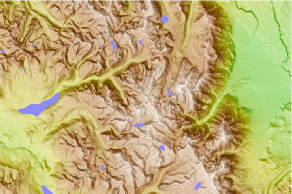
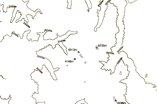
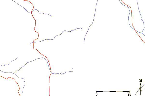
Use this relief map to navigate to mountain peaks in the area of Mount Mills (California).
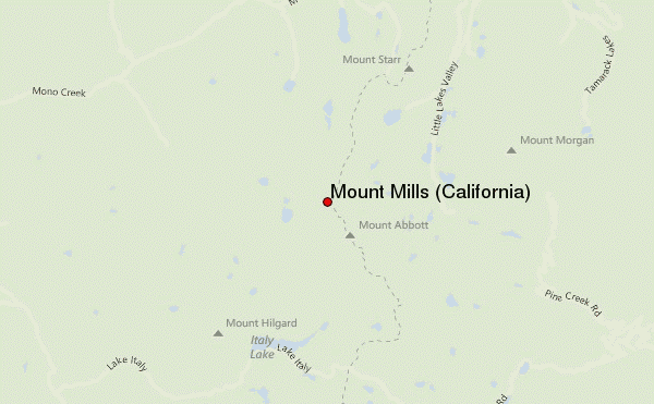
10 other mountain peaks closest to Mount Mills (California):
| 1. | Mount Abbot (4177 m) | 1.0 km |
| 2. | Mount Dade (4145 m) | 1.7 km |
| 3. | Ruby Peak (California) (4020 m) | 1.8 km |
| 4. | Bear Creek Spire (4180 m) | 3.6 km |
| 5. | Mount Morgan (Inyo County, California) (4193 m) | 5.3 km |
| 6. | Mount Hopkins (California) (3750 m) | 8.0 km |
| 7. | Mount Morgan (Mono County, California) (3960 m) | 13.1 km |
| 8. | Mount Tom (California) (4161 m) | 13.3 km |
| 9. | Red Slate Mountain (4010 m) | 14.4 km |
| 10. | Mount Humphreys (4263 m) | 17.3 km |
 Like us
 Follow us
