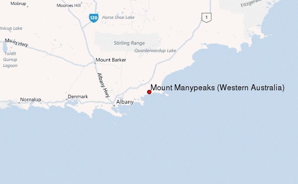
Hans R Wellinger from AUSTRALIA writes:
Camping is good at Norman's Inlet. No supplies of any kind though, including no water.
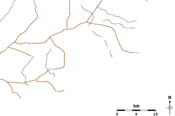
Routes to top of Mount Many Peak:
Route 1:
Cross the creek at the campsite, then head up to the ridge ahead and follow that to the summit. The higher you go, the denser the bush gets and the harder the walk becomes. It becomes extremely challenging and exhausting. Gave up before I reached the summit on this route.
Route 2: Tried from Waychinicup, only to be stopped by almost impenetrable rain forest as you get higher up. Again, failed and gave up long before reaching the summit.
Route 3: Success at last.
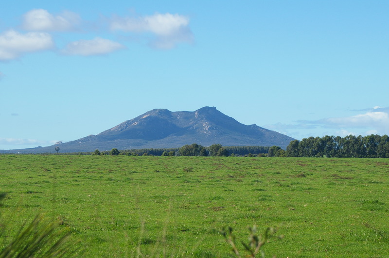
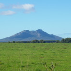
Walked due east along beach from Norman's inlet to where it hits the rocks. From there on, straight up to the summit in a direttissima. Exhausting and very demanding again, in many areas due to dense growth, but eventually, you reach the last bare hump of rock near the summit. Clambering over this rock up and then down again can be a bit hairy, but it gets you there. All told, with a generous lunch break the round trip took me about 10 to 12 mostly strenuous hours, but it was worth it. On a calm day after Easter, you can see the ocean speckled with vast schools of herrings and salmon.
Keep in mind that all the ocean facing slopes catch lots of rain and are therefore covered in extremely thick rain forests. Often, a machete would be very handy, but then the National Park people would take a very dim view to that sort of approach. Keep an open eye for tiger snakes, plenty of them, especially when the weather warms up after winter.
Still, a worth while expedition. Climbed the mountain several times, once with my son who was at that stage in year 4 or 5 and he managed OK.
Best Time to go: Just after Easter, then all through winter until say September. October would probably be the last opportunity, as later in the year, it gets rather warm.
Hope this helps.
Good hiking, Hans
2021-04-03 |
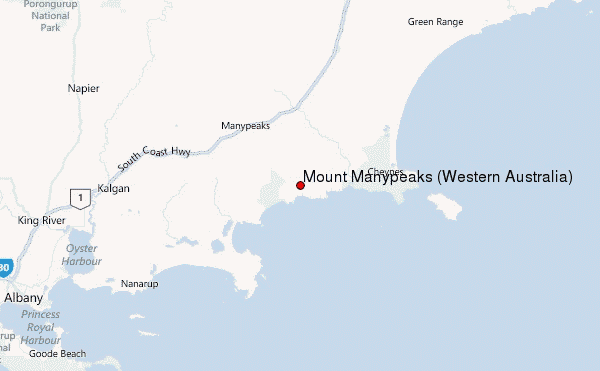
 Mount Manypeaks (Western Australia) – Climbing, Hiking & Mountaineering information
 Like us
 Follow us
