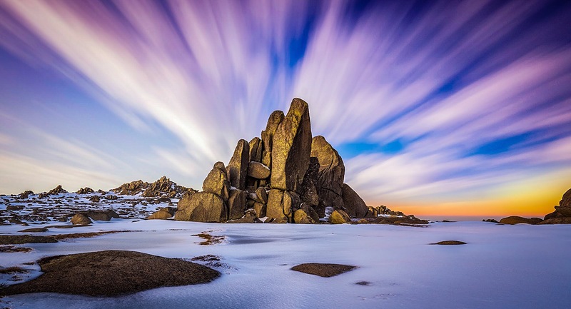
Mount Kosciusko mountain guide
- Elevation: 2228 m
- Difficulty: Walk up
- Best months to climb: November, December, January, February, March
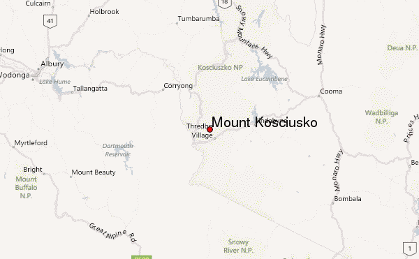
- Convenient center: Chalet, Australia
Mount Kosciusko Climbing Notes
Amy Stewart from AUSTRALIA writes:
Mount Kosciusko is accessible via some different walking tracks of varying difficulty.
Access to Kosciusko National Park will be required.
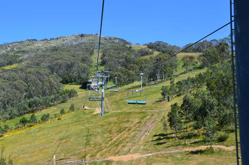
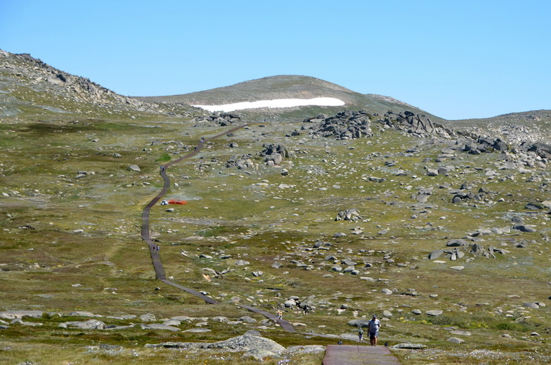
A 13km return hike is accessible via chairlift access at Thredbo. This route will take you via the Rams Head Range through to Rawsons Pass on a raised walking track, passing Lake Cootapatamba.
Parking at Charlotte's Pass will allow access to the Main Range Hike, a 22km loop that passes 4 glacial lakes and summits Carruthers Peak along the track.
Finally there is a 18.6km return trip on the fire trail, which passes Seaman's Hut from Charlotte's Pass.
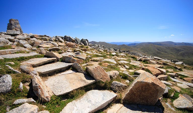
All walks lead to Rawson's pass, where the final 1km walk to the summit of Mount Kosciusko is located, along with the highest toilets in Australia.
2022-01-17 |
Click here to read 2 more climbing notes for Mount Kosciusko or submit your own
|
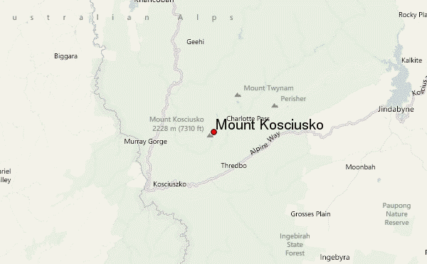
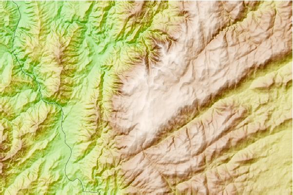
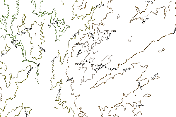
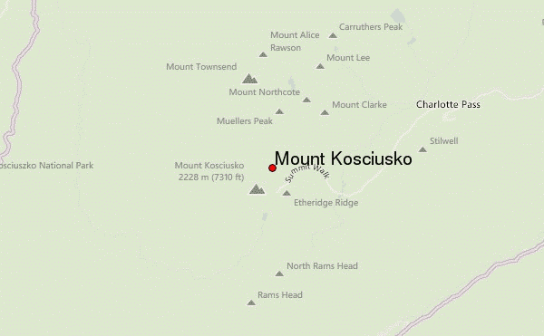
Select Mount Kosciusko Location Map Detail:
Use this relief map to navigate to mountain peaks in the area of Mount Kosciusko.
10 other mountain peaks closest to Mount Kosciusko:
 Mount Kosciusko – Climbing, Hiking & Mountaineering information


 Like us
 Follow us
