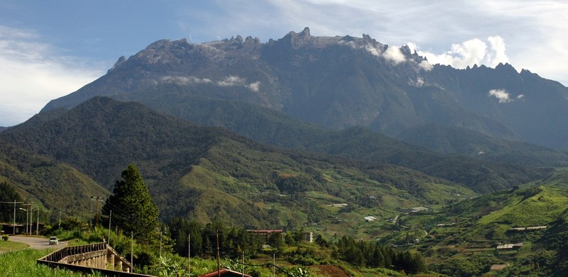
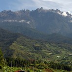
Mount Kinabalu mountain guide
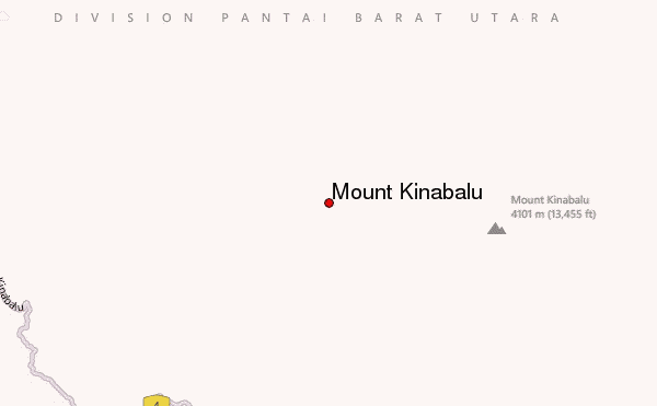
- Elevation: 4102 m
- Difficulty: Scramble
- Best months to climb: June, July, August, September, October
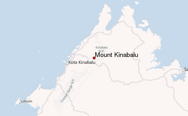
- Convenient center: Kota Kinabalu, Borneo
Mount Kinabalu Climbing Notes
Helmi Hanif from MALAYSIA writes:
Essentials:
1. Walking stick (never to underestimate its usefulness, regardless of your fitness level)
2. Long johns. Very helpful to have them around when the wind started to howl at 30-40km/hr up there followed by gushing rains.
3. If possible, avoid other accommodations than Laban Rata. We bunked at Waras Hut, but the bad weather made us to be not-so-waras when it got extremely cold (waras = sane).
4. Consume lots of honey prior to your climb to warmth your body.
5. If u use a porter's service, be close to them. Waited almost 3 hours in wet clothing for my porter to arrive, since he was also our sweeper.
6. Get the patch body warmer sold in stores. It helps. buy lots of it. Your friends will thank you for this.
7. Waterproof pants, jackets, gloves. Important!
2012-06-15 |
Click here to read 1 more climbing note for Mount Kinabalu or submit your own
|
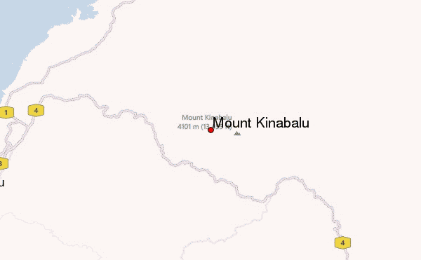
Select Mount Kinabalu Location Map Detail:
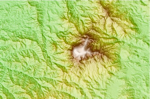
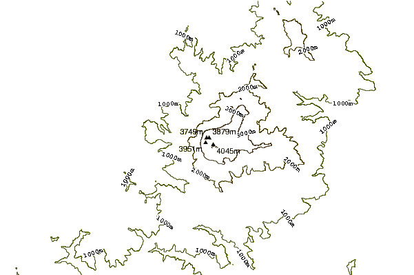
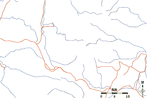
Use this relief map to navigate to mountain peaks in the area of Mount Kinabalu.
10 other mountain peaks closest to Mount Kinabalu:
 Mount Kinabalu – Climbing, Hiking & Mountaineering information

 Like us
 Follow us
