– Lat/Long: 43.38° N 71.86° W
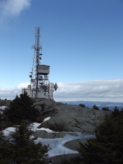
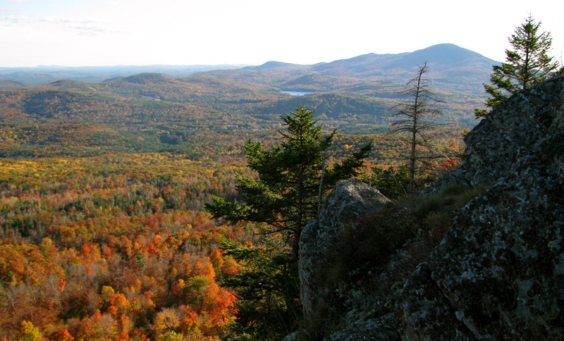
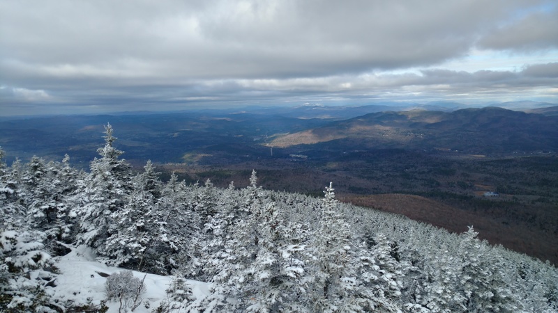
 Mount Kearsarge (Merrimack County, New Hampshire) – Climbing, Hiking & Mountaineering information
Mount Kearsarge (Merrimack County, New Hampshire) – Climbing, Hiking & Mountaineering information
Mount Kearsarge (Merrimack County, New Hampshire) mountain guide
- Elevation: 895 m
- Difficulty:
- Best months to climb:
- Convenient center:
Mount Kearsarge (Merrimack County, New Hampshire) Climbing NotesBe the first to submit your climbing note! Please submit any useful information about climbing Mount Kearsarge (Merrimack County, New Hampshire) that may be useful to other climbers. Consider things such as access and accommodation at the base of Mount Kearsarge (Merrimack County, New Hampshire), as well as the logistics of climbing to the summit. |
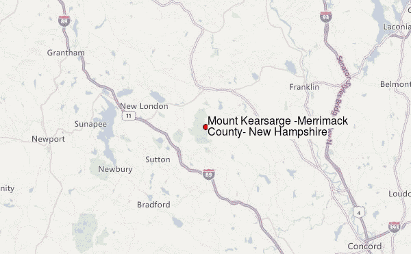
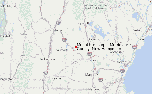
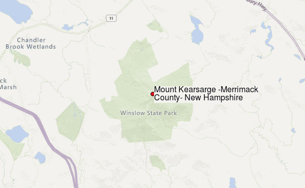
Select Mount Kearsarge (Merrimack County, New Hampshire) Location Map Detail:
| Select a
mountain summit from the menu |
||
|
Select a Mountain Summit
|
||
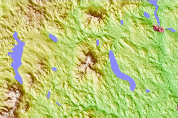
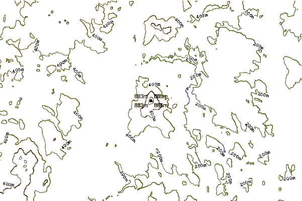
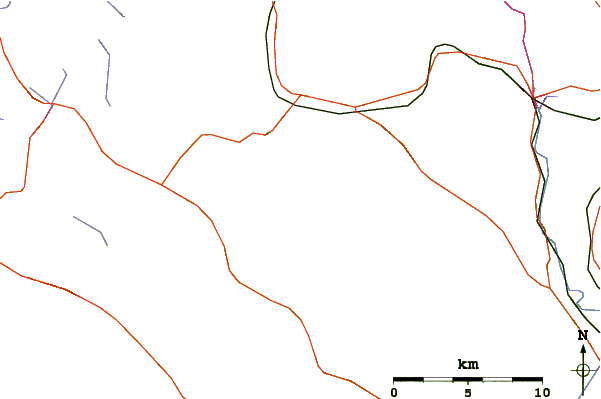
Use this relief map to navigate to mountain peaks in the area of Mount Kearsarge (Merrimack County, New Hampshire).
10 other mountain peaks closest to Mount Kearsarge (Merrimack County, New Hampshire):
| 1. | Ragged Mountain (New Hampshire) (697 m) | 9.7 km |
| 2. | Mount Sunapee (831 m) | 19.2 km |
| 3. | Lovewell Mountain (754 m) | 25.9 km |
| 4. | Mount Cardigan (962 m) | 30.0 km |
| 5. | Pitcher Mountain (656 m) | 39.3 km |
| 6. | Gunstock Mountain (684 m) | 41.8 km |
| 7. | Belknap Mountain (726 m) | 42.2 km |
| 8. | Mount Rowe (1680 m) | 42.7 km |
| 9. | Mount Major (544 m) | 48.3 km |
| 10. | Skatutakee Mountain (609 m) | 48.3 km |
 Like us
 Follow us
