– Lat/Long: 30.25° S 150.17° E
 Mount Kaputar – Climbing, Hiking & Mountaineering information
Mount Kaputar – Climbing, Hiking & Mountaineering information
Mount Kaputar mountain guide
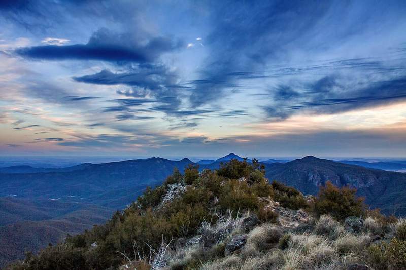
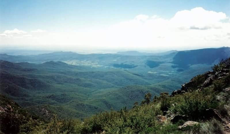
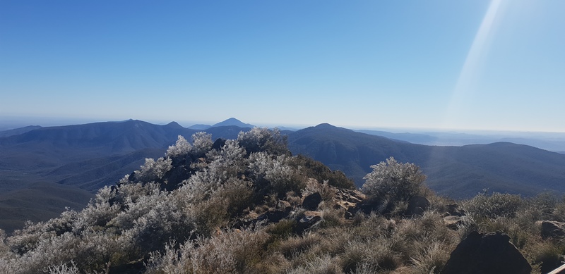
- Elevation: 1508 m
- Difficulty:
- Best months to climb:
- Convenient center: Narrabri
Mount Kaputar Climbing NotesBe the first to submit your climbing note! Please submit any useful information about climbing Mount Kaputar that may be useful to other climbers. Consider things such as access and accommodation at the base of Mount Kaputar, as well as the logistics of climbing to the summit. |
| Select a
mountain summit from the menu |
||
|
Select a Mountain Summit
|
||
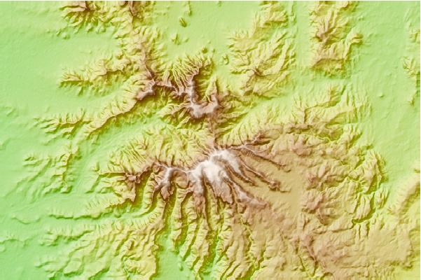

Use this relief map to navigate to mountain peaks in the area of Mount Kaputar.
10 other mountain peaks closest to Mount Kaputar:
| 1. | Mount Lindesay (New South Wales) (1373 m) | 6.9 km |
| 2. | Mount Ningadhun (1373 m) | 10.2 km |
| 3. | Grattai Mountain (1412 m) | 20.3 km |
| 4. | Mount Duval (New South Wales) (1393 m) | 142.3 km |
| 5. | Brothers Mountain (1508 m) | 145.8 km |
| 6. | The Black Sugar Loaf (1494 m) | 184.0 km |
| 7. | Burning Mountain (520 m) | 192.9 km |
| 8. | Round Mountain (Northern Tablelands) (1586 m) | 200.2 km |
| 9. | Mount Bajimba (1524 m) | 217.0 km |
| 10. | Mount Banda Banda (1263 m) | 226.7 km |

 Like us
 Follow us
