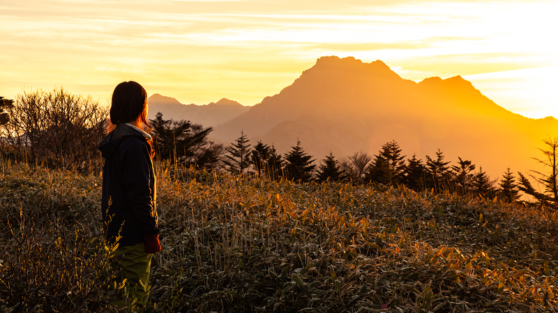
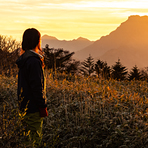
Climb on Oct 8, 2015, clear, about 10-25C, perfect weather for hiking.
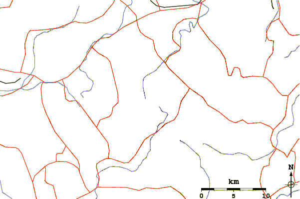
The main access point is the ropeway on Prefecture Road 12. Hiking up the mountain is relatively easy if you take the ropeway, which brings you from 455m to 1300m. From there, it took me about 2h15m to reach the "summit" and about 1h45m for the return trip (I am at best an average speed hiker). The trail is well marked, safe (you can avoid all the chains by walking ordinary trails), and with good shades. Difficult level is just 1-2 star and is an easy day hike.
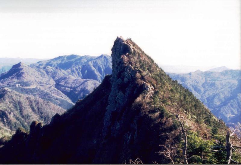
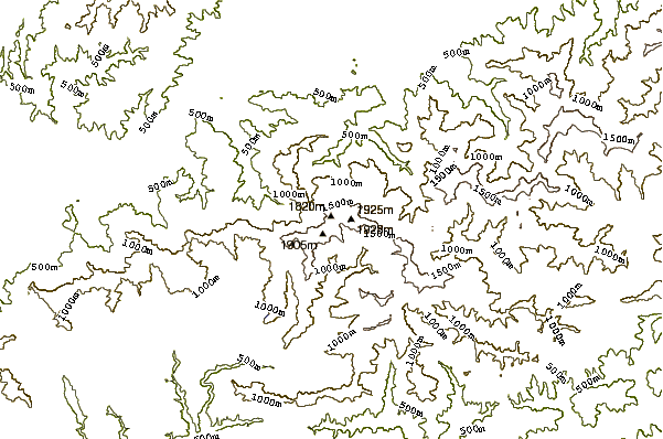
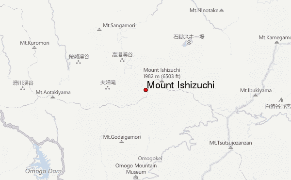
It is a bit tricky on where is the summit. Officially, that should be Tengudake (天狗岳, 1,982m) but the trail takes you only to Misen (彌山, 1,974m). It is only a short distance from Misen to Tengudake but there is no trail, and the hike could be dangerous. Since there is already a sign showing 1,982m at Misen with temple, store, and even a small lodge around, many (include me) stops just there.
If you don't take the rope way, then the hike became difficult. My friend who did that before said the trail condition was also very good, just that it was a full day hike for him (above average speed). It is even more difficult if you need to use public transportation to the starting point (lower ropeway station).
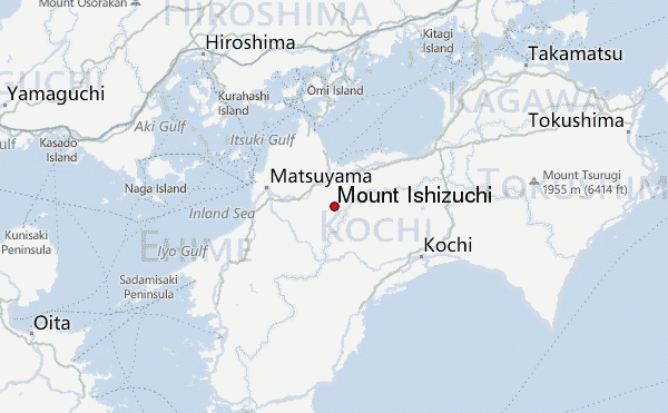
There are only 4 buses a day leaving from the JR station Iyo-Saijo (伊予西条) (There is also a town called Saijo in Hiroshima Prefecture with a JR station, the Iyo in front of this one is to distinguish between the two) which takes 54m. The schedule to the ropeway is 7:43, 10:23, 13:33, and 16:13, and the return schedule is 9:12, 12:02, 15:17, and 17:22. That means you need to catch the 7:43 bus in order to finish the hike in one day without using the ropeway.
Alternatively, you can take a taxi to the ropeway for about JPY7,000 which gives you more control of your time. Don't plan to take taxi from the ropeway station back as I didn't see any. If you missed the last bus, prepare to spend the night in the Onsen Hotel near the ropeway station.
 Mount Ishizuchi – Climbing, Hiking & Mountaineering information
 Like us
 Follow us
