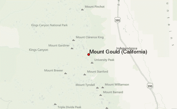
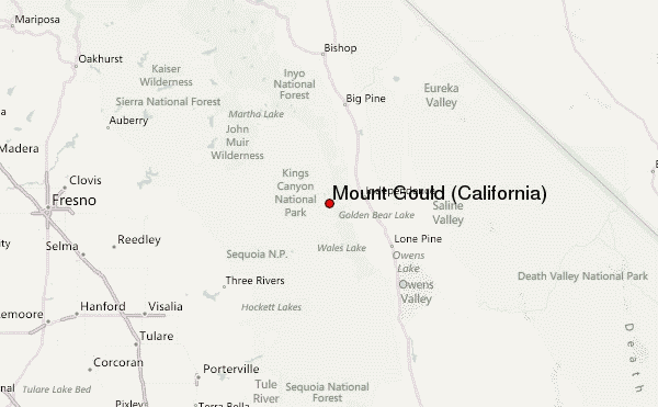
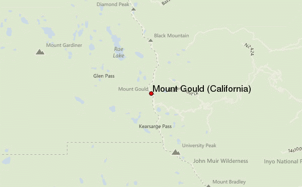
Mount Gould (California) mountain guide
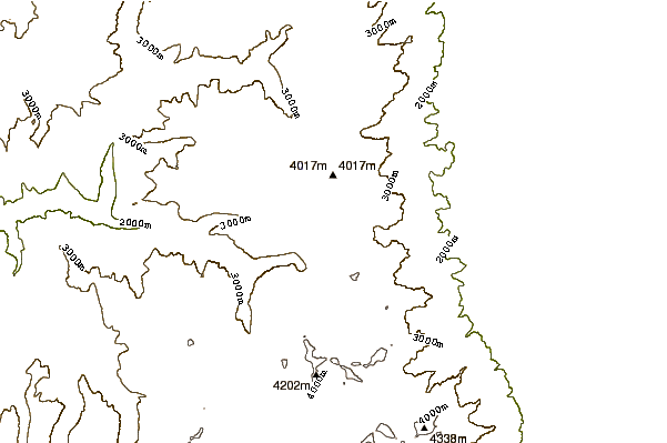
- Elevation: 3966 m
- Difficulty:
- Best months to climb:
- Convenient center:
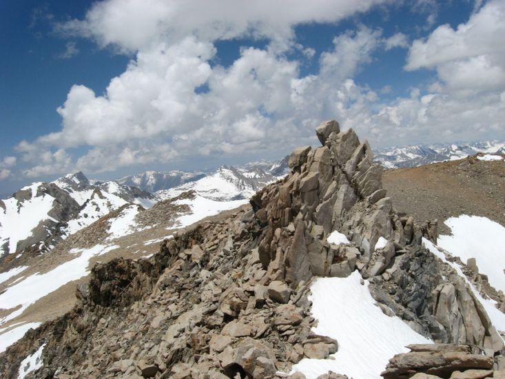
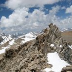
Mount Gould (California) Climbing Notes
Michael from UNITED STATES writes:
Follow the trail all the way (about 5 miles) to Kearsarge Pass then make your way up the scree and talus to your immediate right for the final 1,200ft of elevation gain. Once you get to the top you will see what appears to be the summit to your left. Once you actually achieve this point you will notice it is actually a false summit and the actual summit is a mere 50yds further. It is a good class 2 low class 3 scramble in the summer and the scree is very loose. Be careful and take your time and you should be fine. If climbing in the winter highly recommend crampons, gaiters and an ice axe to arrest if needed.
2014-02-01 |
Click here to submit your own climbing note for Mount Gould (California)
|
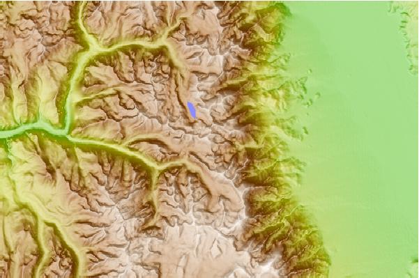
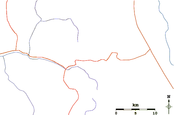
Select Mount Gould (California) Location Map Detail:
Use this relief map to navigate to mountain peaks in the area of Mount Gould (California).
10 other mountain peaks closest to Mount Gould (California):
 Mount Gould (California) – Climbing, Hiking & Mountaineering information
 Like us
 Follow us
