– Lat/Long: 57.05° N 134.93° W
 Mount Furuhelm – Climbing, Hiking & Mountaineering information
Mount Furuhelm – Climbing, Hiking & Mountaineering information
Mount Furuhelm mountain guide
- Elevation: 3620 m
- Difficulty:
- Best months to climb:
- Convenient center:
Mount Furuhelm Climbing NotesBe the first to submit your climbing note! Please submit any useful information about climbing Mount Furuhelm that may be useful to other climbers. Consider things such as access and accommodation at the base of Mount Furuhelm, as well as the logistics of climbing to the summit. |
| Select a
mountain summit from the menu |
||
|
Select a Mountain Summit
|
||
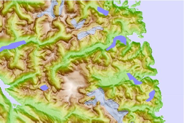
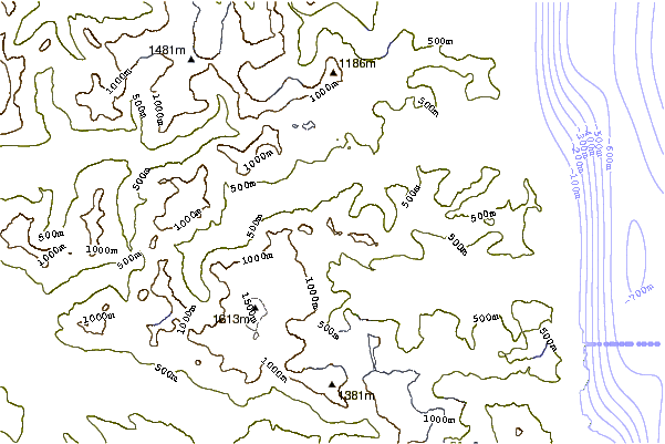
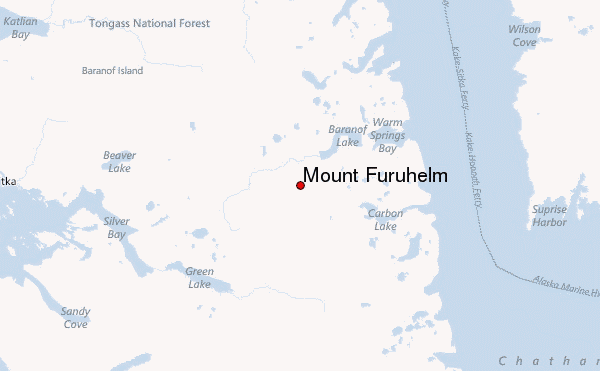
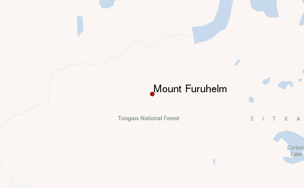
Use this relief map to navigate to mountain peaks in the area of Mount Furuhelm.
10 other mountain peaks closest to Mount Furuhelm:
| 1. | Peak 5390 (1643 m) | 5.2 km |
| 2. | Mount Bassie (4301 m) | 6.9 km |
| 3. | Mount Arrowhead (3800 m) | 20.3 km |
| 4. | Mount Verstovia (777 m) | 20.3 km |
| 5. | Mount Edgecumbe (Alaska) (976 m) | 50.2 km |
| 6. | Flat Top Mountain (Sitka City and Borough, Alaska) (1736 m) | 90.1 km |
| 7. | Duncan Canal (volcanic field) (15 m) | 127.3 km |
| 8. | Mount Troy (2841 m) | 138.1 km |
| 9. | Table Top Mountain (Juneau, Alaska) (3005 m) | 140.6 km |
| 10. | Mount Roberts (Alaska) (1164 m) | 142.2 km |
 Like us
 Follow us
