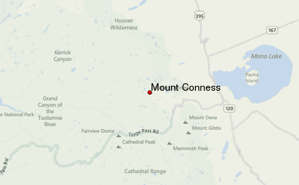
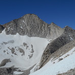
Mount Conness mountain guide
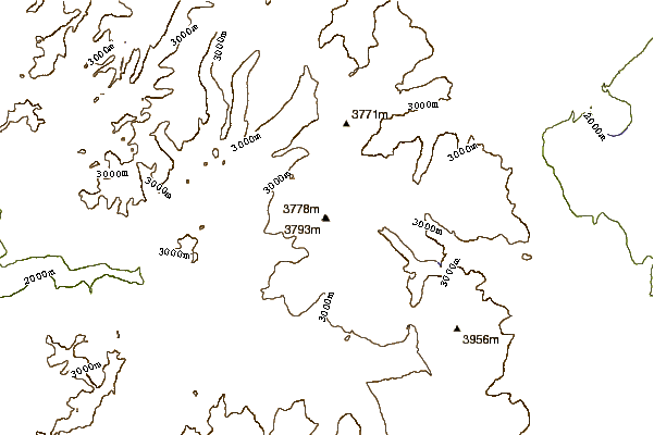
- Elevation: 3837 m
- Difficulty: Walk up
- Best months to climb: June, July, August, September
- Convenient center: Lee Vining
Mount Conness Climbing Notes
Cabe Silverhame from UNITED STATES writes:
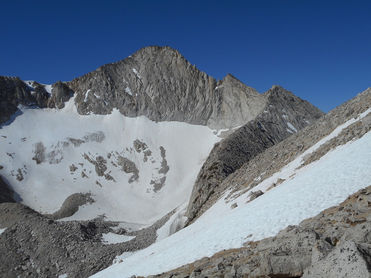
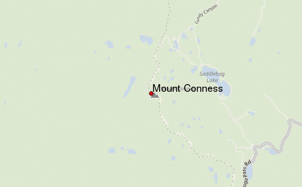
There are two non-technical routes on Mt. Conness. One begins at the Youngs Lakes trailhead in Tuolumne Meadows, where the Pacific Crest Trail crosses Highway 120 in Yosemite National Park. This Class 2 route is about 9.4 miles one way, and involves 4,300' of elevation gain. The second route is shorter and slightly more technical, with the advantage of beginning near the 9,800' elevation. The trailhead is about 0.8 miles south of Saddlebag Lake Resort, on the west side of the access road to the resort (1.6 miles north of Highway 120). The route is 3.9 miles one way, with 2,850' of elevation gain. It's mostly Class 2, with short stretches of Class 3 scrambling near the summit.
2021-08-08 |
Click here to submit your own climbing note for Mount Conness
|
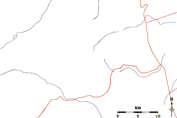
Select Mount Conness Location Map Detail:
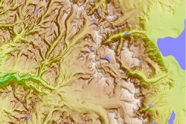
Use this relief map to navigate to mountain peaks in the area of Mount Conness.
10 other mountain peaks closest to Mount Conness:
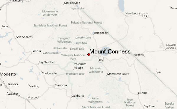
 Mount Conness – Climbing, Hiking & Mountaineering information
 Like us
 Follow us
