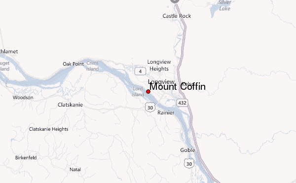
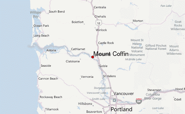
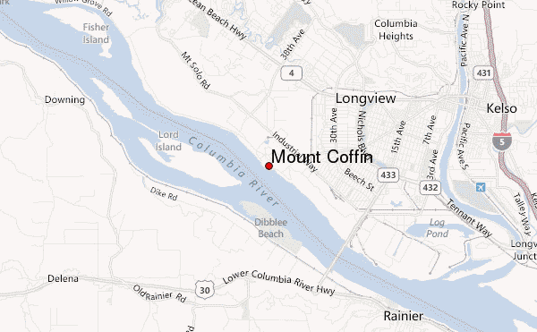
– Lat/Long: 46.13° N 122.99° W
 Mount Coffin – Climbing, Hiking & Mountaineering information
Mount Coffin – Climbing, Hiking & Mountaineering information
Mount Coffin mountain guide
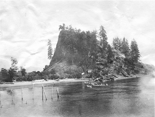
- Elevation: 7 m
- Difficulty:
- Best months to climb:
- Convenient center:
Mount Coffin Climbing NotesBe the first to submit your climbing note! Please submit any useful information about climbing Mount Coffin that may be useful to other climbers. Consider things such as access and accommodation at the base of Mount Coffin, as well as the logistics of climbing to the summit. |
| Select a
mountain summit from the menu |
||
|
Select a Mountain Summit
|
||
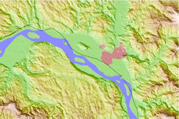
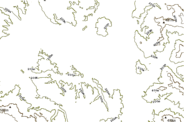
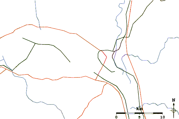
Use this relief map to navigate to mountain peaks in the area of Mount Coffin.
10 other mountain peaks closest to Mount Coffin:
| 1. | Boistfort Peak (949 m) | 43.6 km |
| 2. | Battle Ground Lake State Park (229 m) | 52.5 km |
| 3. | Saddle Mountain (Clatsop County, Oregon) (1002 m) | 56.7 km |
| 4. | Round Top (Oregon) (909 m) | 58.1 km |
| 5. | Mount Mitchell (Washington) (1213 m) | 62.3 km |
| 6. | Larch Mountain (Washington County, Oregon) (1052 m) | 62.4 km |
| 7. | Mount Saint Helens (2549 m) | 62.8 km |
| 8. | Elkhorn Mountain (Washington) (678 m) | 64.5 km |
| 9. | Rogers Peak (1130 m) | 67.4 km |
| 10. | Larch Mountain (Clark County, Washington) (1061 m) | 70.5 km |
 Like us
 Follow us
