Mount Binalud mountain guide
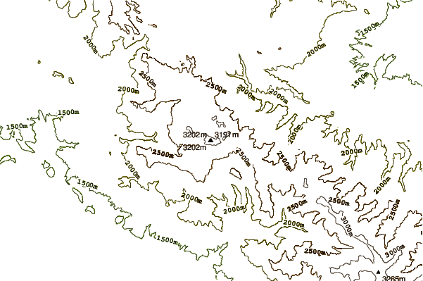
- Elevation: 3211 m
- Difficulty:
- Best months to climb:
- Convenient center:
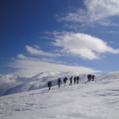
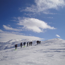
Mount Binalud Climbing Notes
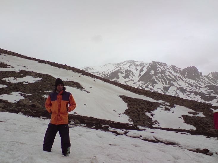
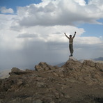
yaser soleimani from IRAN, ISLAMIC REPUBLIC OF writes:
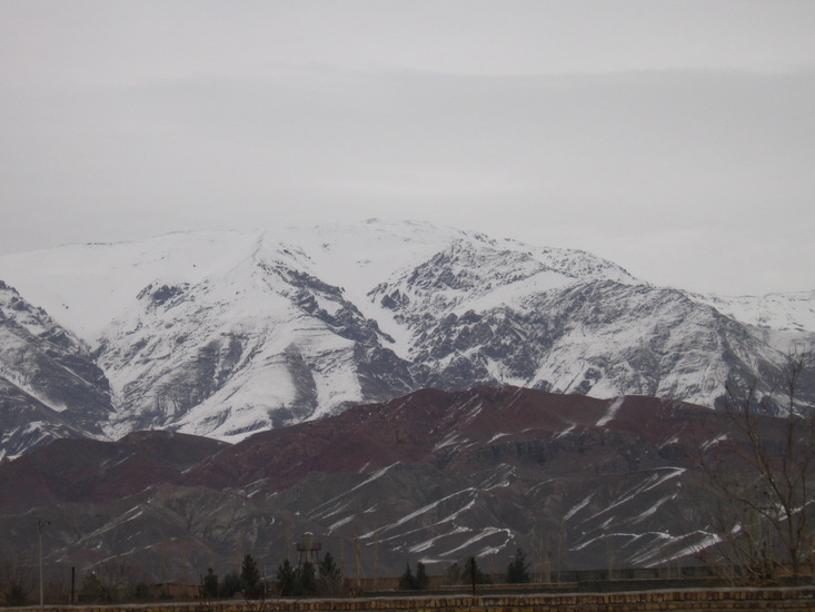
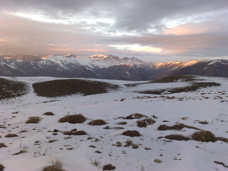
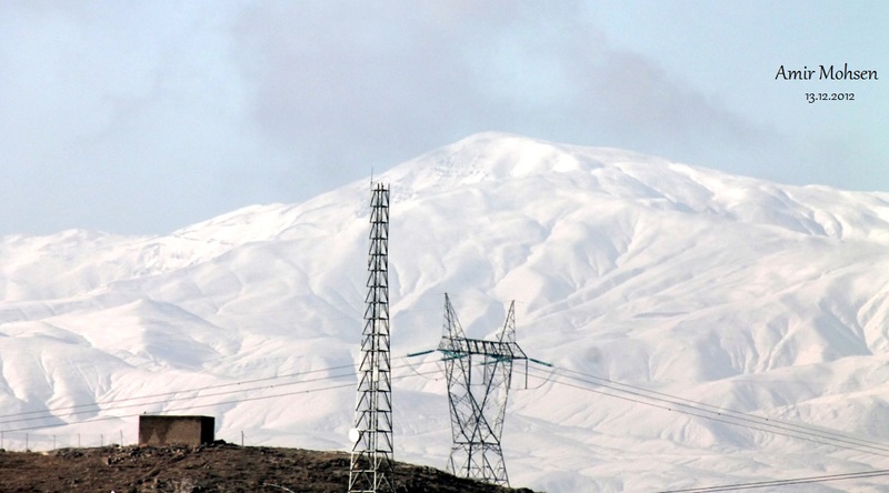
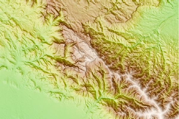
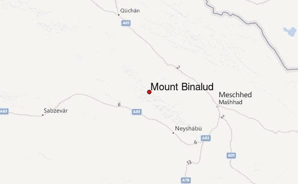
Mount Bin?lud (In Persian: ???????) is the highest peak in Razavi Khorasan province, Iran. It is also called Khorasan roof. This mountain is 26 km north of neyshabur (Nishapur) and to the west of Mashhad.
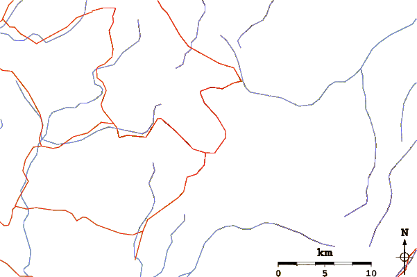
For climbing to Bin?lud from Neyshabur, it's available by Eish Abad village (In Persian: ??? ????) or Somea village (In Persian: ?????)
if you need to climbing path form Neyshabur and coordinate locations and points (KMZ file for Google Earth and GPS device)or other information email to me:
yaser.soleimani@gmail.com
2011-09-16 |
Click here to read 2 more climbing notes for Mount Binalud or submit your own
|
Select Mount Binalud Location Map Detail:
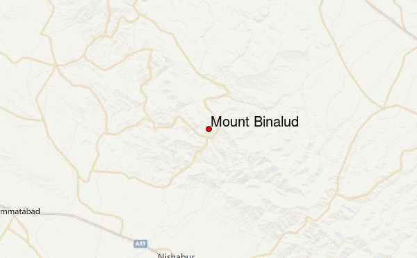
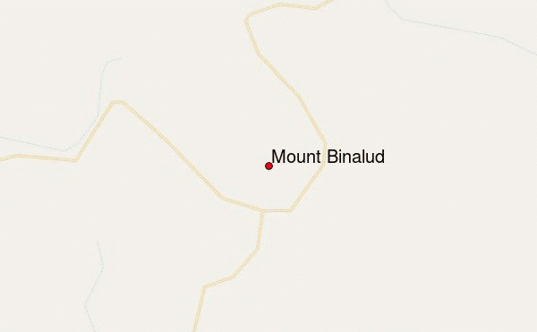
Use this relief map to navigate to mountain peaks in the area of Mount Binalud.
10 other mountain peaks closest to Mount Binalud:
 Mount Binalud – Climbing, Hiking & Mountaineering information

 Like us
 Follow us
