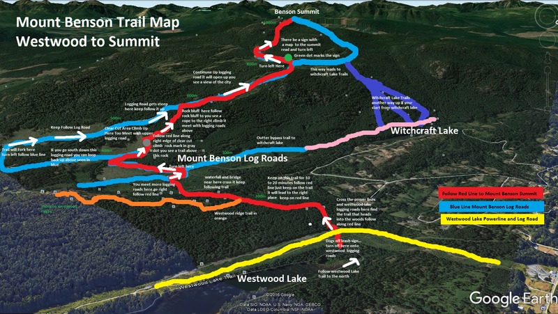
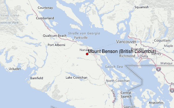
Mount Benson (British Columbia) mountain guide
- Elevation: 1023 m
- Difficulty:
- Best months to climb: June to October
- Convenient center:
Mount Benson (British Columbia) Climbing Notes
Haig from CANADA writes:
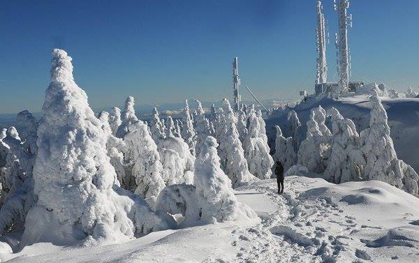
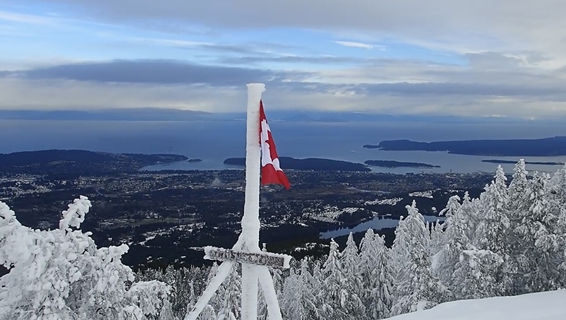
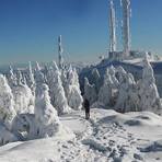
Remember November-April is the season where the island gets lots of wet Pacific frontal systems. Mount Benson can get some very heavy snow near the summit in these months.
The Temperature is often about 6 degrees colder at 1000 meters then the Temperature down in the city
If the temperature is 6 degrees and raining down in Nanaimo suspect it to be snowing on Mount Benson Summit.
Remember to bring a flashlight people. in history have been stuck up there past sunset start your hike as early as possible the better.
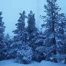
Bring snowshoes you can not tell how much snow there is by just looking up at the mountain form down in Nanaimo.
Many is the time where I seen waste deep snow and if you do not have snowshoes its very hard to walk in.
I always keep a pair of them strap onto my back pack you never know when you need to put them on.
2013-11-22 |
Click here to read 6 more climbing notes for Mount Benson (British Columbia) or submit your own
|
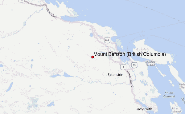
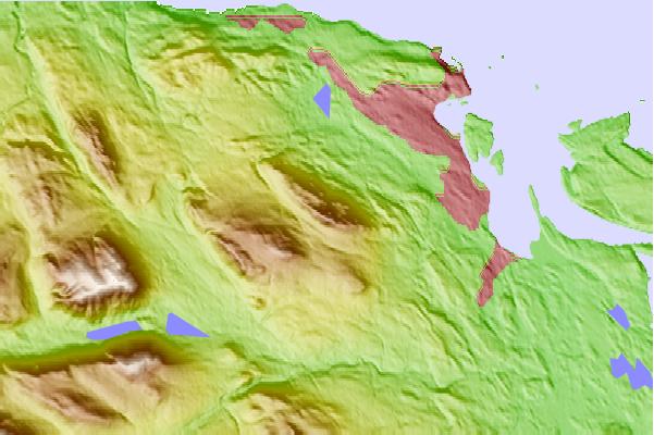
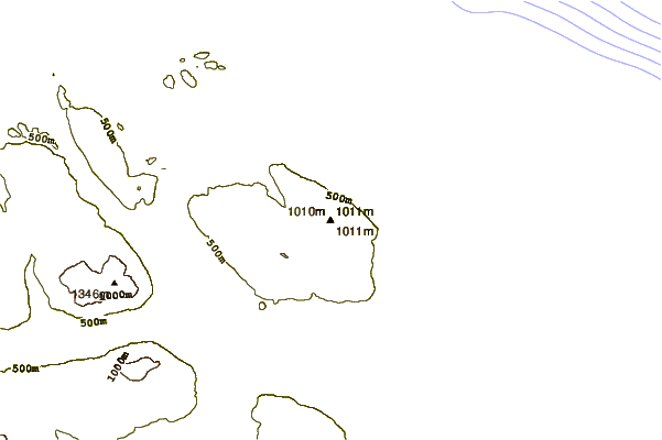
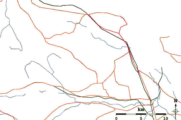
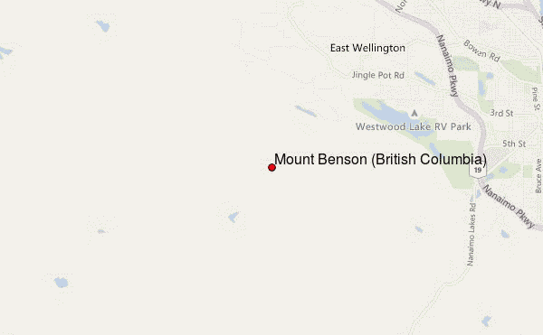
Select Mount Benson (British Columbia) Location Map Detail:
Use this relief map to navigate to mountain peaks in the area of Mount Benson (British Columbia).
10 other mountain peaks closest to Mount Benson (British Columbia):
 Mount Benson (British Columbia) – Climbing, Hiking & Mountaineering information
 Like us
 Follow us
