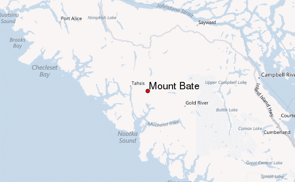
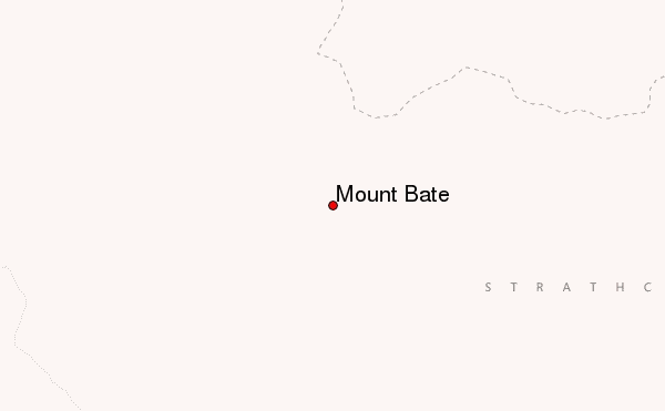
– Lat/Long: 49.89° N 126.47° W
 Mount Bate – Climbing, Hiking & Mountaineering information
Mount Bate – Climbing, Hiking & Mountaineering information
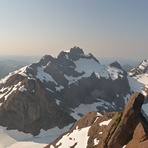
Mount Bate mountain guide
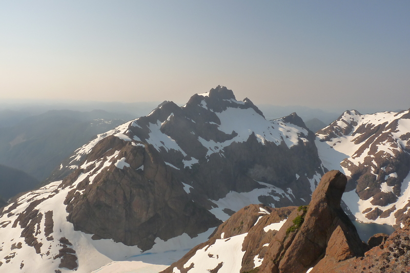
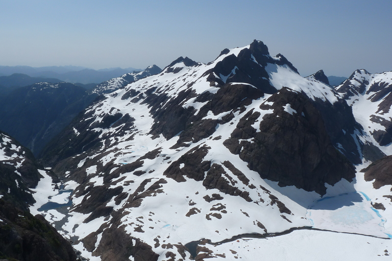
- Elevation: 1688 m
- Difficulty:
- Best months to climb:
- Convenient center:
Mount Bate Climbing NotesBe the first to submit your climbing note! Please submit any useful information about climbing Mount Bate that may be useful to other climbers. Consider things such as access and accommodation at the base of Mount Bate, as well as the logistics of climbing to the summit. |

| Select a
mountain summit from the menu |
||
|
Select a Mountain Summit
|
||
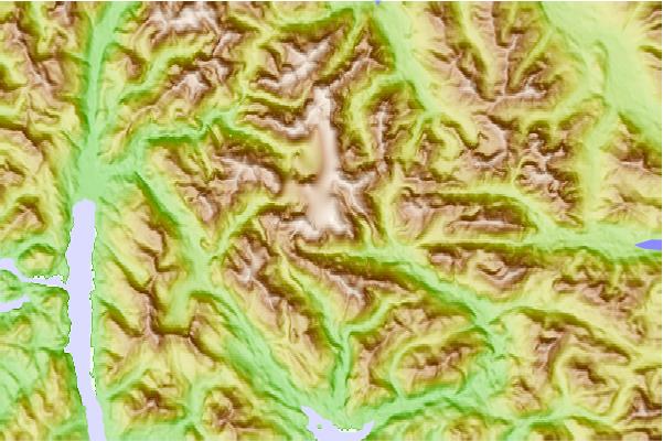
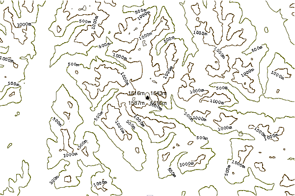
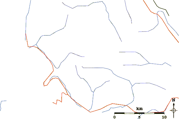
Use this relief map to navigate to mountain peaks in the area of Mount Bate.
10 other mountain peaks closest to Mount Bate:
| 1. | Mount McKelvie (1621 m) | 13.4 km |
| 2. | Woss Mountain (1593 m) | 19.9 km |
| 3. | Rugged Mountain (1875 m) | 20.6 km |
| 4. | Mount Alston (Sutton Range) (1759 m) | 22.7 km |
| 5. | Sutton Peak (Sutton Range) (1874 m) | 23.9 km |
| 6. | Maquilla Peak (Sutton Range) (1815 m) | 26.5 km |
| 7. | Watchtower Peak (Sutton Range) (1748 m) | 28.1 km |
| 8. | Big Baldy Mountain (Vancouver Island, British Columbia) (1618 m) | 28.3 km |
| 9. | Zeballos Peak (1578 m) | 31.3 km |
| 10. | Mount Adam (British Columbia) (1729 m) | 31.3 km |
 Like us
 Follow us
