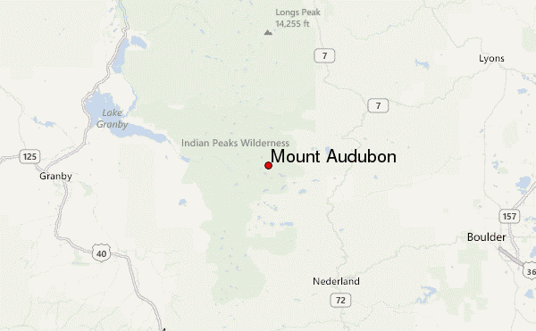
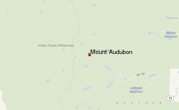
– Lat/Long: 40.10° N 105.62° W
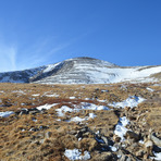
 Mount Audubon – Climbing, Hiking & Mountaineering information
Mount Audubon – Climbing, Hiking & Mountaineering information
Mount Audubon mountain guide
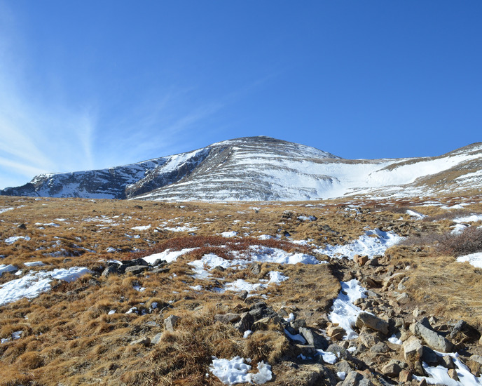
- Elevation: 4135 m
- Difficulty: Walk up
- Best months to climb: June, July, August
- Convenient center: Boulder,CO
Mount Audubon Climbing NotesBe the first to submit your climbing note! Please submit any useful information about climbing Mount Audubon that may be useful to other climbers. Consider things such as access and accommodation at the base of Mount Audubon, as well as the logistics of climbing to the summit. |
| Select a
mountain summit from the menu |
||
|
Select a Mountain Summit
|
||
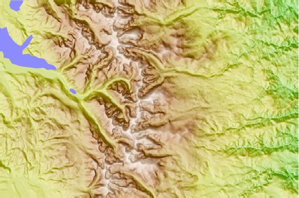
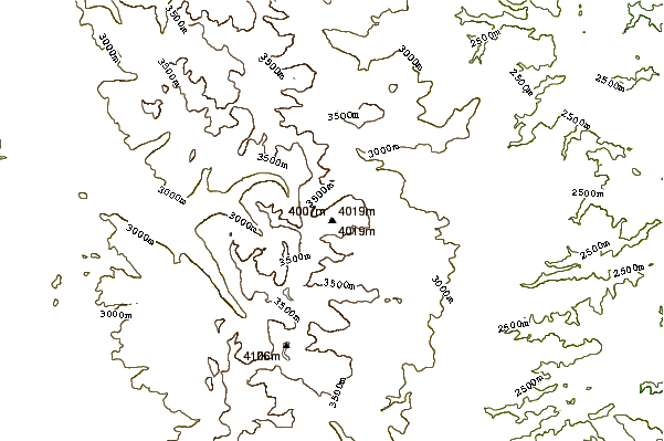
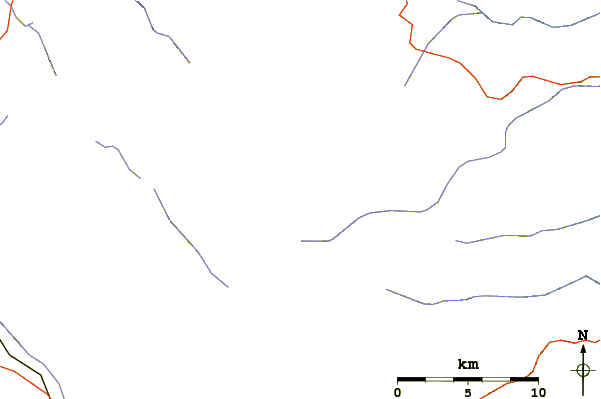
Use this relief map to navigate to mountain peaks in the area of Mount Audubon.
10 other mountain peaks closest to Mount Audubon:
| 1. | Mount Toll (3956 m) | 1.9 km |
| 2. | Lone Eagle Peak (3633 m) | 4.8 km |
| 3. | North Arapahoe Peak (3962 m) | 7.9 km |
| 4. | North Arapaho Peak (4115 m) | 8.5 km |
| 5. | South Arapaho Peak (4083 m) | 11.8 km |
| 6. | Mount Alice (Colorado) (4057 m) | 16.1 km |
| 7. | Mount Meeker (4240 m) | 16.7 km |
| 8. | Longs Peak (4345 m) | 17.3 km |
| 9. | Storm Peak (4062 m) | 18.6 km |
| 10. | Taylor Peak (4009 m) | 20.3 km |
 Like us
 Follow us
