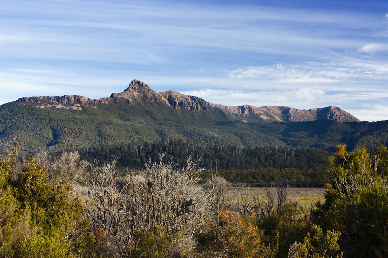
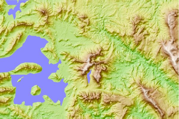
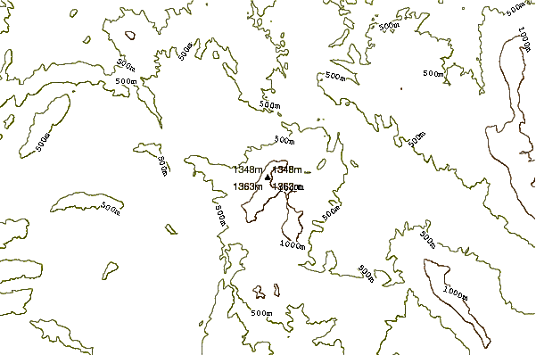
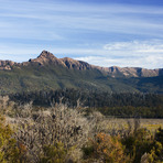
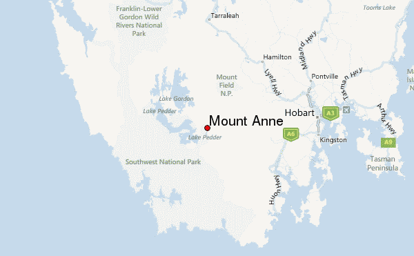
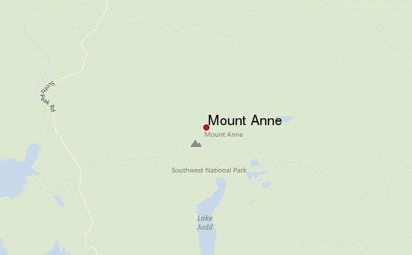
On the edge of Lake Pedder, rising above expansive buttongrass moorlands stands the picturesque Mount Anne. At 1423m this is the tallest mountain in the Southwest, and walkers on this circuit walkers are rewarded with stunning views of Southwest National Park. The end of the track continues along to the ice-carved Lake Judd where experienced walkers have the chance to view the sheer precipitous mountains they surmounted earlier on the circuit.
The Mount Anne Circuit is a collection of peaks composed of white quartzite capped by red dolerite. This is a geological anomaly in the Southwest where quartzite topped ranges dominate. The unique geology and varied landscape make the Mount Anne Circuit a popular destination for the experienced bushwalker who wishes to conquer the wilds of the Southwest.
The peak was first discovered by Europeans in 1835, when Surveyor-General George Frankland named the peak after his wife, despite never summiting it. The first documented successful ascent of Mount Anne was in 1928 (some 93 years later) when members of the Hobart Walking Club navigated up the final rock tower of the peak. It wasn't until a few years after that, in 1930 when the Mount Anne Circuit was first completed by exploring bushwalkers. Before the construction of the Scotts Peak Road in the 1960's, bushwalkers who planned to summit Mount Anne were required to begin their trip a considerable distance away at either Maydena or Huonville.
Ancient vegetation, including the fjaeldmark communities and ancient cushion plants, lend support to the theory of continental drift. This alpine vegetation dates back to Gondwanan times (over 180 million years ago), when Australia was connected to other continents including South America, Africa and Antarctica. Vegetation that was once widespread during this geological time period can now only be found in small refuges where conditions allow this ancient plant life to flourish.
Walkers
To protect this landscape, a registration system is in place for multi-day walkers on the Mount Anne Circuit. Overnight walker registrations are open for walkers wanting to camp at Shelf Camp and Lonely Tarns. The daily departure cap for this higher country is 12. Toilets are now provided at both locations, as well as tent platforms at Lonely Tarns.
Walkers planning to camp at either High Camp Hut (and undertaking a day walk from here to Mount Anne) or camping at Lake Judd do not need to register. Day walkers to Mount Eliza or Lake Judd do not need to register.
Most walkers allow 3 – 5 days to complete the circuit, and although the circuit is relatively short it is incredibly varied and considered as rugged as other longer multi-day walks within the Southwest National Park.
Those attempting to complete the circuit should be aware that facilities are limited along the track and they'll need to be very well prepared. Tent platforms have been installed at the Lonely Tarns thanks to generous donations from the Wildcare Wild Bushwalking Tracks Fund. Elsewhere along the track, campsite facilities are minimal, and people are encouraged to use existing campsites.
To protect the sensitive alpine vegetation from erosion, we encourage you not to venture beyond the formed and hardened tracks where they exist. Walkers venturing beyond the formed tracks must be self-reliant and experienced alpine backcountry walkers.
Source: https://parks.tas.gov.au/explore-our-parks/southwest-national-park/mount-anne-circuit
 Mount Anne – Climbing, Hiking & Mountaineering information

 Like us
 Follow us
