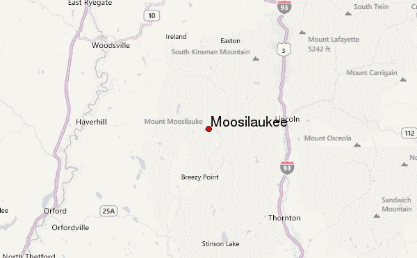
– Lat/Long: 44.02° N 71.83° W
 Moosilaukee – Climbing, Hiking & Mountaineering information
Moosilaukee – Climbing, Hiking & Mountaineering information
Moosilaukee mountain guide
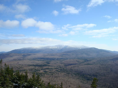
- Elevation: 1464 m
- Difficulty: Walk up
- Best months to climb: May, June, July, August, September, October
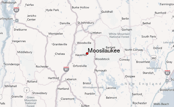
- Convenient center: North Woodstock, NH
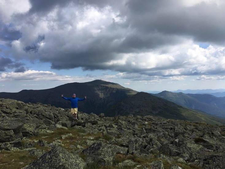
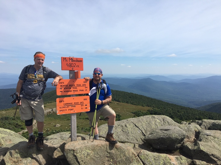
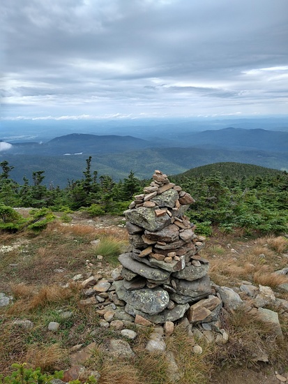
Moosilaukee Climbing NotesBe the first to submit your climbing note! Please submit any useful information about climbing Moosilaukee that may be useful to other climbers. Consider things such as access and accommodation at the base of Moosilaukee, as well as the logistics of climbing to the summit. |
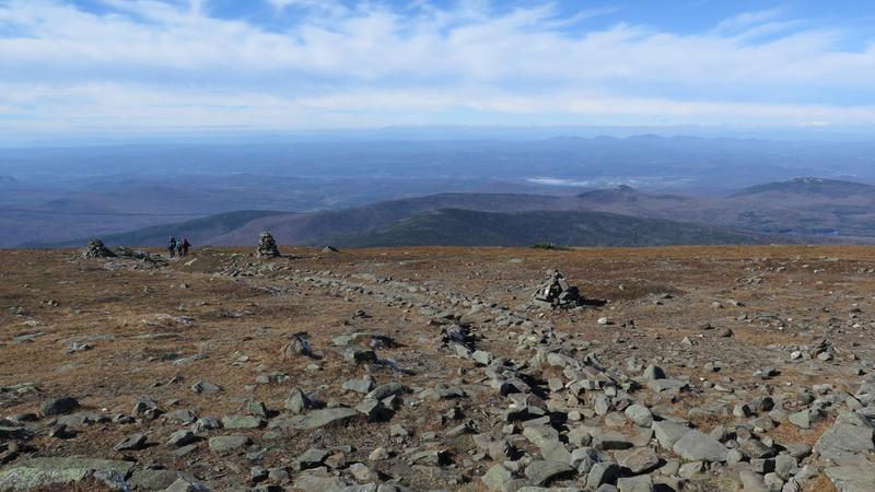
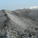
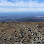
Latest Gallery Images for Moosilaukee


| Select a
mountain summit from the menu |
||
|
Select a Mountain Summit
|
||
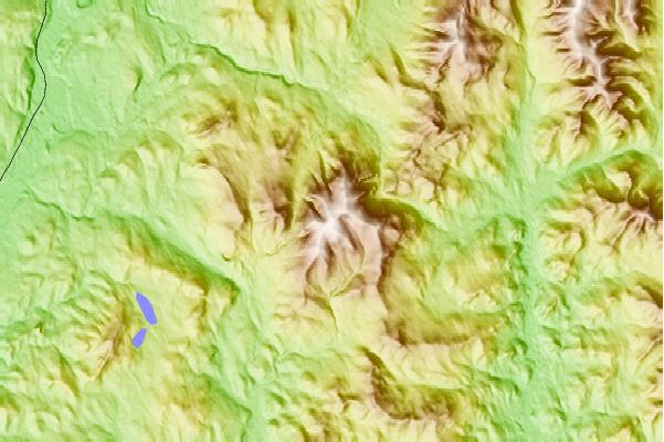
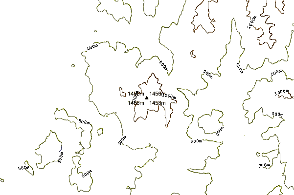
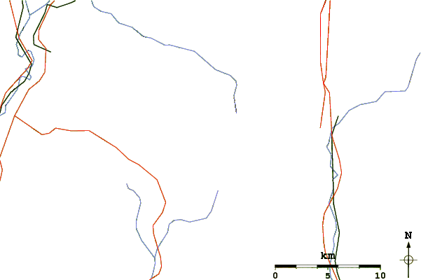
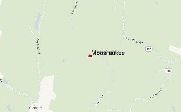
Use this relief map to navigate to mountain peaks in the area of Moosilaukee.
10 other mountain peaks closest to Moosilaukee:
| 1. | Mount Blue (New Hampshire) (1380 m) | 1.1 km |
| 2. | Kinsman Mountain (1328 m) | 13.3 km |
| 3. | The Cannon Balls (1148 m) | 15.7 km |
| 4. | Loon Mountain (934 m) | 16.8 km |
| 5. | Cannon Mountain (New Hampshire) (1250 m) | 18.1 km |
| 6. | Mount Liberty (New Hampshire) (1359 m) | 18.2 km |
| 7. | Mount Flume (1319 m) | 18.8 km |
| 8. | Scar Ridge (1150 m) | 18.9 km |
| 9. | Little Haystack Mountain (New Hampshire) (1463 m) | 19.6 km |
| 10. | Mount Lincoln (New Hampshire) (1551 m) | 20.4 km |
 Like us
 Follow us
