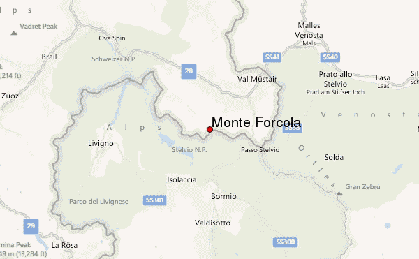
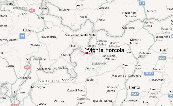
– Lat/Long: 46.56° N 10.35° E
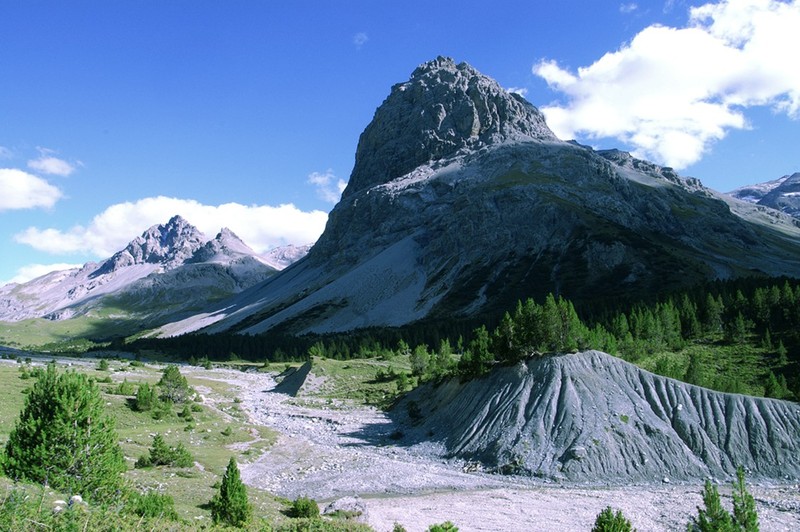
 Monte Forcola – Climbing, Hiking & Mountaineering information
Monte Forcola – Climbing, Hiking & Mountaineering information
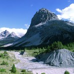
Monte Forcola mountain guide
- Elevation: 2906 m
- Difficulty:
- Best months to climb:
- Convenient center:
Monte Forcola Climbing NotesBe the first to submit your climbing note! Please submit any useful information about climbing Monte Forcola that may be useful to other climbers. Consider things such as access and accommodation at the base of Monte Forcola, as well as the logistics of climbing to the summit. |
| Select a
mountain summit from the menu |
||
|
Select a Mountain Summit
|
||
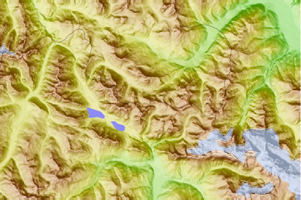
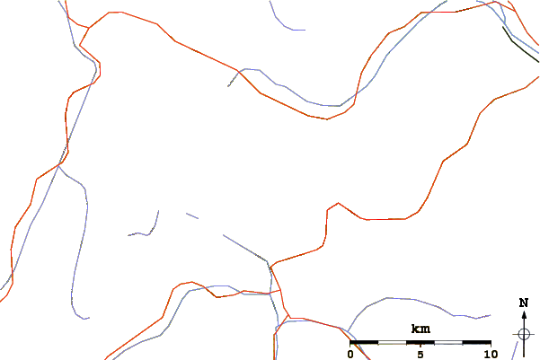
Use this relief map to navigate to mountain peaks in the area of Monte Forcola.
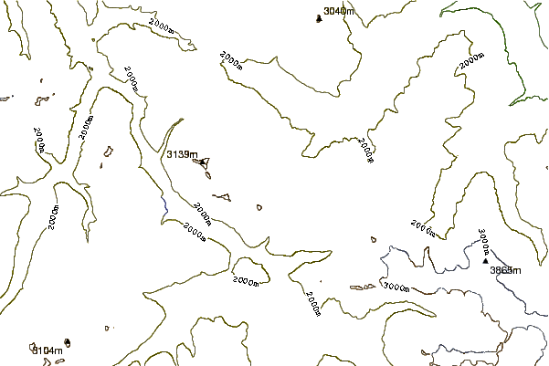
10 other mountain peaks closest to Monte Forcola:
| 1. | Piz Schumbraida (3125 m) | 1.8 km |
| 2. | Piz Tea Fondada (3144 m) | 3.4 km |
| 3. | Piz Turettas (2958 m) | 3.5 km |
| 4. | Piz Lad (Val Müstair) (2882 m) | 4.8 km |
| 5. | Piz Umbrail (3033 m) | 5.0 km |
| 6. | Piz Murtaröl (3180 m) | 5.1 km |
| 7. | Piz da las Trais Linguas (2843 m) | 8.2 km |
| 8. | Piz Daint (2968 m) | 8.3 km |
| 9. | Punta Rosa (3026 m) | 8.5 km |
| 10. | Cima del Serraglio (2685 m) | 9.2 km |
 Like us
 Follow us
