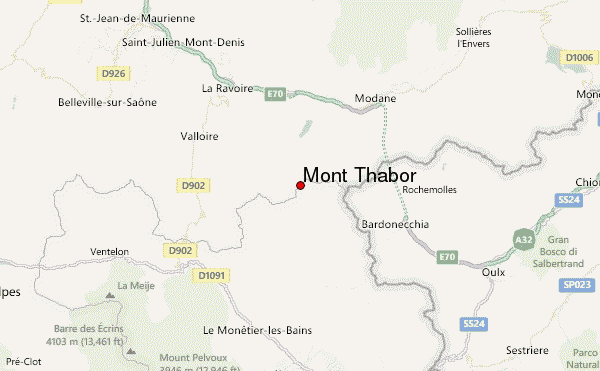
– Lat/Long: 45.12° N 6.57° E
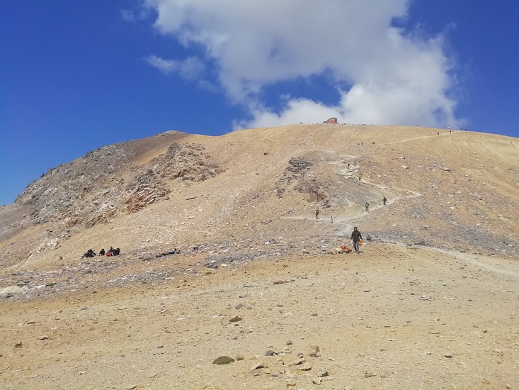
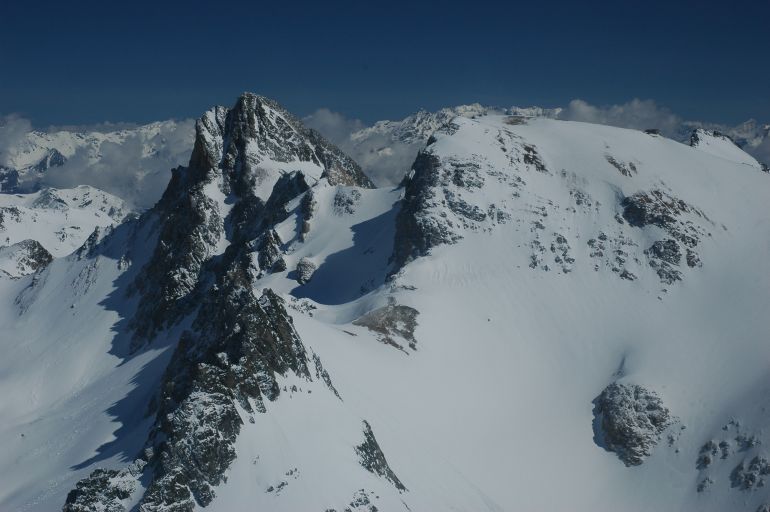
 Mont Thabor – Climbing, Hiking & Mountaineering information
Mont Thabor – Climbing, Hiking & Mountaineering information
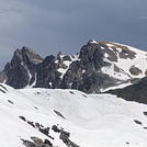
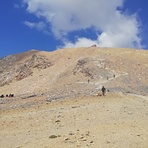
Mont Thabor mountain guide
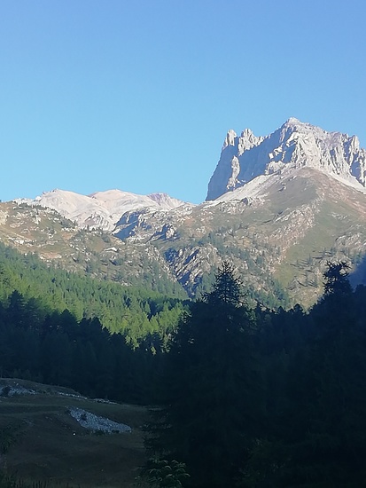
- Elevation: 3178 m
- Difficulty: Walk up
- Best months to climb: July, August, September
- Convenient center: Névache, Valmeinier, Fourneaux
Mont Thabor Climbing NotesBe the first to submit your climbing note! Please submit any useful information about climbing Mont Thabor that may be useful to other climbers. Consider things such as access and accommodation at the base of Mont Thabor, as well as the logistics of climbing to the summit. |
| Select a
mountain summit from the menu |
||
|
Select a Mountain Summit
|
||
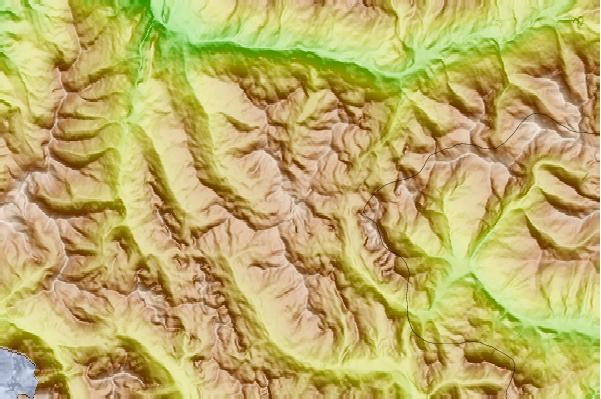
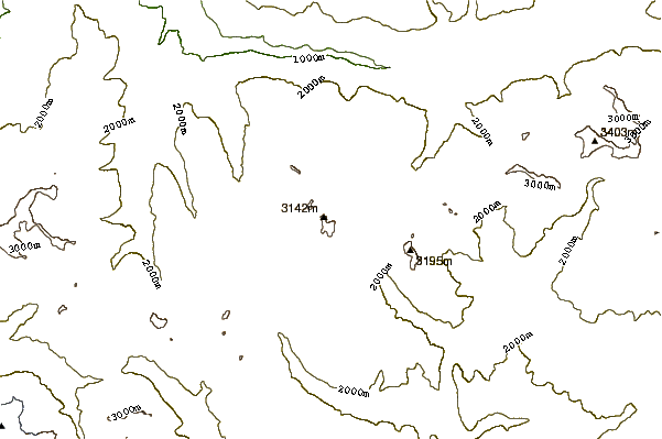
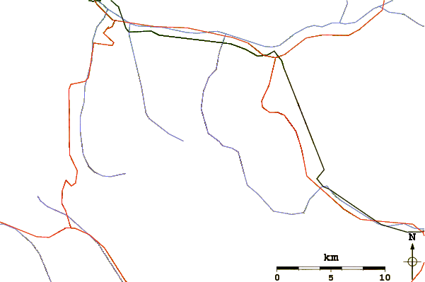
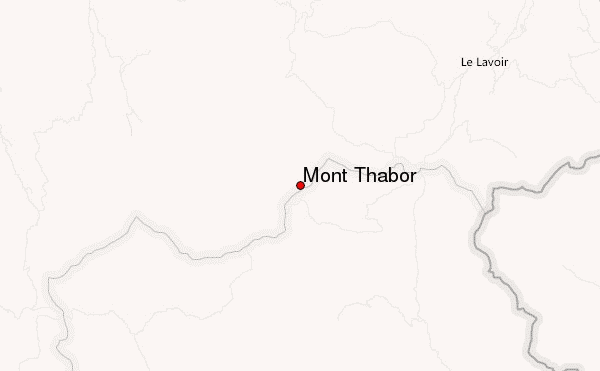
Use this relief map to navigate to mountain peaks in the area of Mont Thabor.
10 other mountain peaks closest to Mont Thabor:
| 1. | Rocca Bernauda (3225 m) | 5.0 km |
| 2. | Pointe des Cerces (3097 m) | 8.4 km |
| 3. | Punta Bagnà (3129 m) | 11.8 km |
| 4. | Pointe de Paumont (3171 m) | 12.9 km |
| 5. | Pointe Rénod (3368 m) | 14.7 km |
| 6. | Mont Brequin (3130 m) | 15.3 km |
| 7. | Pointe du Bouchet (3420 m) | 15.6 km |
| 8. | Épaule du Bouchet (3250 m) | 16.2 km |
| 9. | Cime de Caron (3195 m) | 16.3 km |
| 10. | Aiguille de Scolette (3506 m) | 16.5 km |
 Like us
 Follow us
