– Lat/Long: 52.39° N 118.18° W
 McGillivray Ridge – Climbing, Hiking & Mountaineering information
McGillivray Ridge – Climbing, Hiking & Mountaineering information
McGillivray Ridge mountain guide
- Elevation: 2697 m
- Difficulty:
- Best months to climb:
- Convenient center:
McGillivray Ridge Climbing NotesBe the first to submit your climbing note! Please submit any useful information about climbing McGillivray Ridge that may be useful to other climbers. Consider things such as access and accommodation at the base of McGillivray Ridge, as well as the logistics of climbing to the summit. |
| Select a
mountain summit from the menu |
||
|
Select a Mountain Summit
|
||
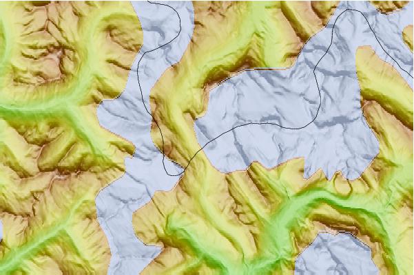
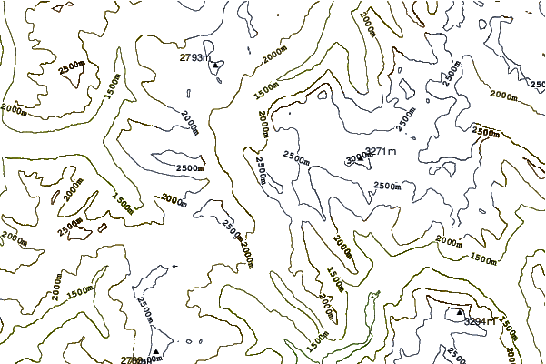
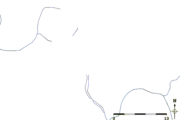
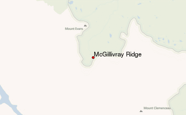
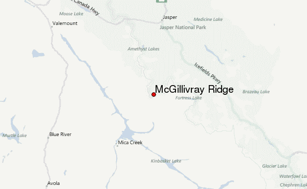
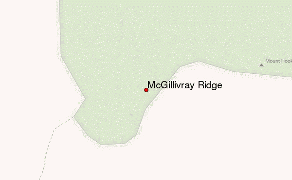
Use this relief map to navigate to mountain peaks in the area of McGillivray Ridge.
10 other mountain peaks closest to McGillivray Ridge:
| 1. | Mount Brown (British Columbia) (2791 m) | 5.2 km |
| 2. | Mount Hooker (Canada) (3287 m) | 5.6 km |
| 3. | Mount Ermatinger (3073 m) | 9.2 km |
| 4. | Mount Scott (Canada) (3296 m) | 10.3 km |
| 5. | Mount Oates (3110 m) | 10.8 km |
| 6. | Mallard Peak (2848 m) | 11.8 km |
| 7. | Mount Ross Cox (2994 m) | 12.9 km |
| 8. | Alnus Peak (2968 m) | 15.6 km |
| 9. | Divergence Peak (2827 m) | 17.4 km |
| 10. | Lick Peak (2862 m) | 18.7 km |
 Like us
 Follow us
