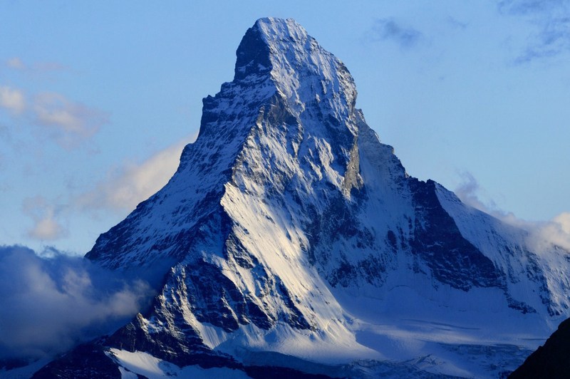
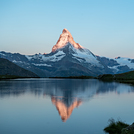
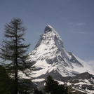
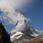
Matterhorn mountain guide
- Elevation: 4478 m
- Difficulty: Technical Climb
- Best months to climb: July, August, September
- Convenient center: Zermatt, Switzerland
Matterhorn Climbing Notes
Roy Lachica from NORWAY writes:
I climbed Matterhorn with guide late July 2012 and I just wanted to share my story for those who want to climb the mountain. I have also recorded much of the climb and this video should be very helpful for others who are preparing for the ascent of Matterhorn. roy.lachica.no/matterhorn
2013-01-24 |
Click here to read 3 more climbing notes for Matterhorn or submit your own
|
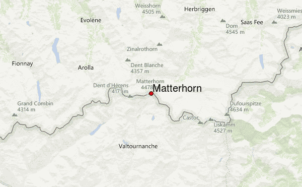
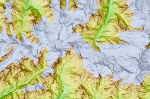
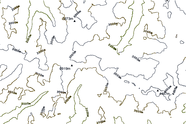
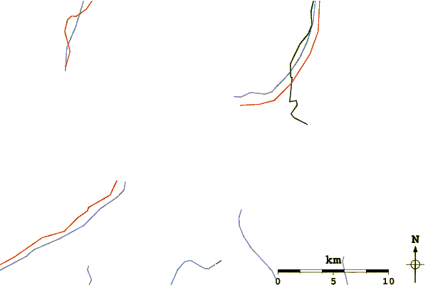
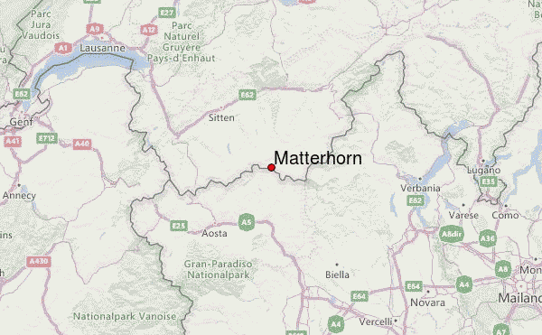
Select Matterhorn Location Map Detail:
Use this relief map to navigate to mountain peaks in the area of Matterhorn.
10 other mountain peaks closest to Matterhorn:
 Matterhorn – Climbing, Hiking & Mountaineering information
 Like us
 Follow us
