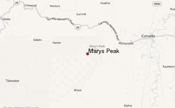
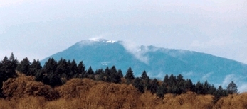
Marys Peak mountain guide
- Elevation: 1249 m
- Difficulty: Walk up
- Best months to climb: May, June, July, August, September, October
- Convenient center: Philomath, Oregon
Marys Peak Climbing Notes
Donald Davis from UNITED STATES writes:
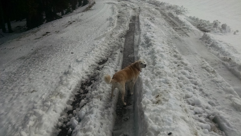
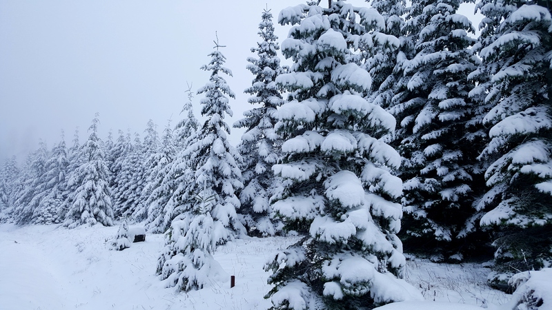
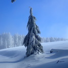
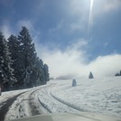
Went up to Mary's peak 3/18/16.
Encountered more snow then was expected, Chains required.
Van got stuck about 1/4 a mile from the top, got high centered and had to do a combination of push/ 12 point turn to get unstuck
snow is also fairly deep and very wet / slushy would recommend show shoes/ skis until the snow melts a bit
2016-03-19 |
Click here to read 1 more climbing note for Marys Peak or submit your own
|
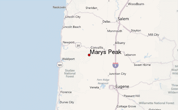
Select Marys Peak Location Map Detail:
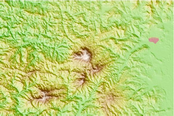
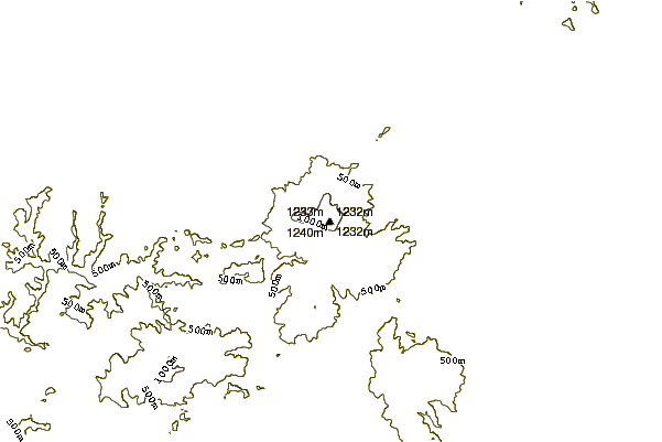
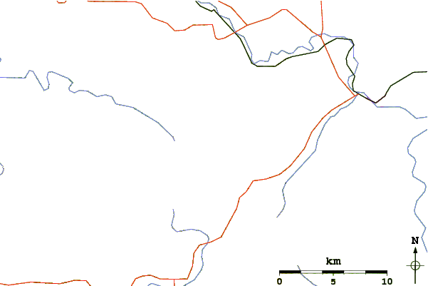
Use this relief map to navigate to mountain peaks in the area of Marys Peak.
10 other mountain peaks closest to Marys Peak:
 Marys Peak – Climbing, Hiking & Mountaineering information

 Like us
 Follow us
