Manitook Mountain mountain guide
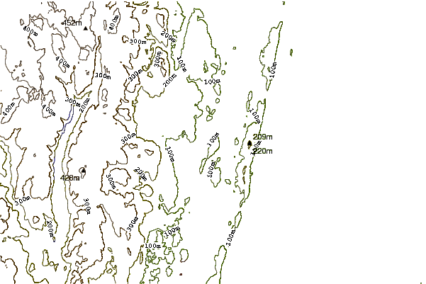
- Elevation: 194 m
- Difficulty:
- Best months to climb:
- Convenient center:
Manitook Mountain Climbing Notes
Justin Halpin from UNITED STATES writes:
Small mountain, with tallest cliff face of about 200 feet. Accessible by an easy hike up a side trail, or a moderate scramble level three to four on the Yosemite Decimal system. Most of the scramble area has graffiti and loose rocks and vegetation in certain locations. The cliff face could be climbed with gear but would require trad gear or anchoring to a tree on the summit. This rock is not covered by graffiti and is vertical to the top. Ratings could be 5.5 to 5.12 depending on where you decide to climb. Popular hang out spot for teenagers. As far as I know no one has climbed the steeper parts, and there are no anchor points. I would recommend scrambling to the top to make sure there are no kids up there to throw rocks off at you should you decide to climb it. This is common. I'm not sure who owns the land but at this time there are no no trespassing signs of any sort.
2013-07-11 |
Click here to submit your own climbing note for Manitook Mountain
|
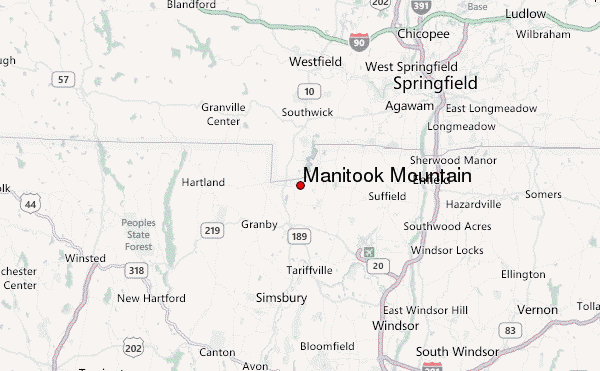
Select Manitook Mountain Location Map Detail:
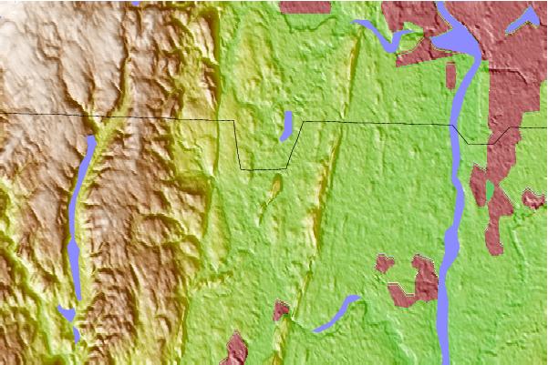
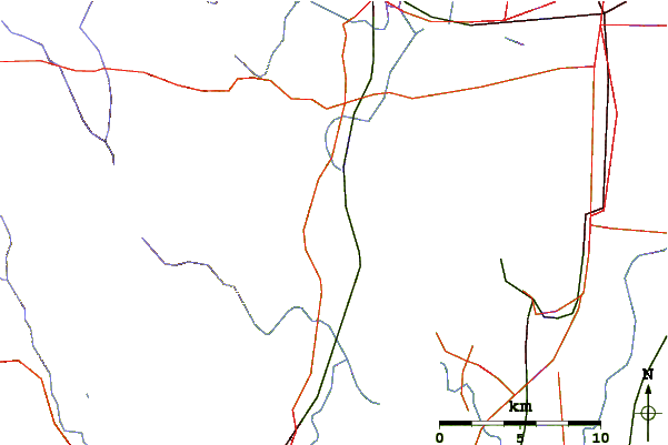
Use this relief map to navigate to mountain peaks in the area of Manitook Mountain.
10 other mountain peaks closest to Manitook Mountain:
 Manitook Mountain – Climbing, Hiking & Mountaineering information
 Like us
 Follow us
