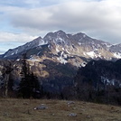
Maglic mountain guide
- Elevation: 2387 m
- Difficulty: Scramble
- Best months to climb:
- Convenient center:
Maglic Climbing Notes
Derek from UNITED KINGDOM writes:
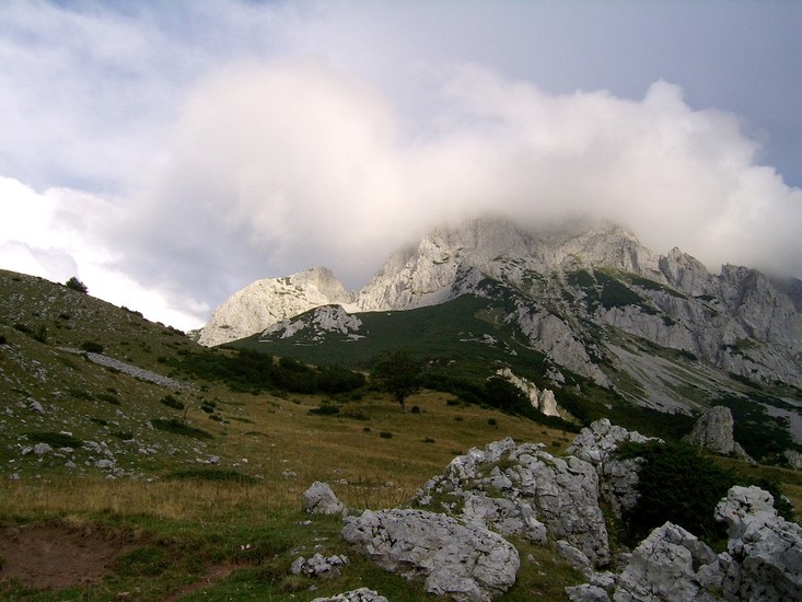
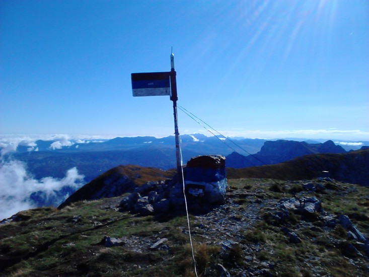
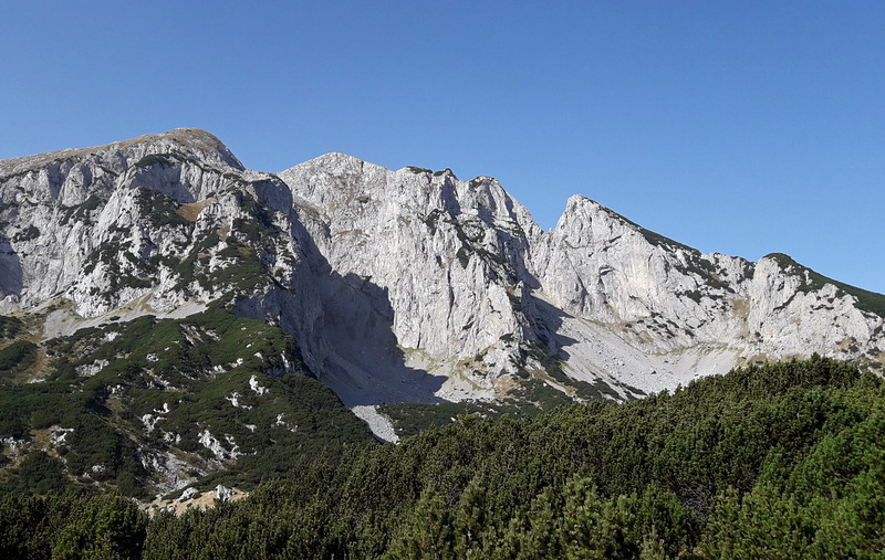
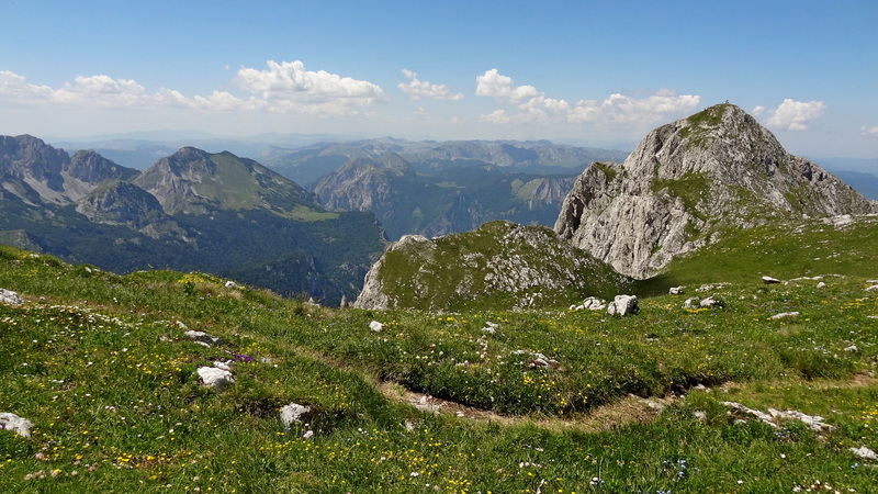
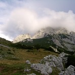
Climbed in August 2011 from Dernicista. Descended southwards along Maglić's ridge to the beautiful Trnovaćko jezero (lake) then back northwards along valley to Prijevor from where I hitched a lift back close to my where I had parked my car.
It was a beautiful sunny day, the was route long but much recommended. The path was reasonably well marked, though I can imagine very difficult to follow in bad weather or under snow. I did not see another person throughout the hike.
Would recommend staying at the Hotel Mladost in the town of Tjentište.
More information including a 360 degree virtual tour of the route can be found at virtualmountains.co.uk.
2018-02-12 |
Click here to read 1 more climbing note for Maglic or submit your own
|
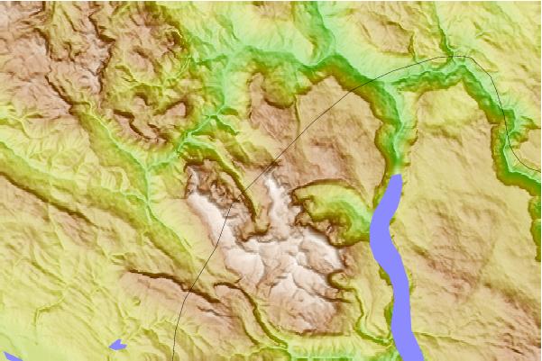
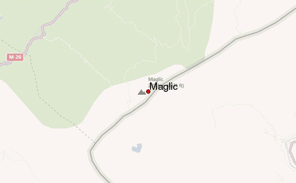
Select Maglic Location Map Detail:
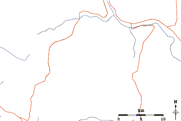
Use this relief map to navigate to mountain peaks in the area of Maglic.
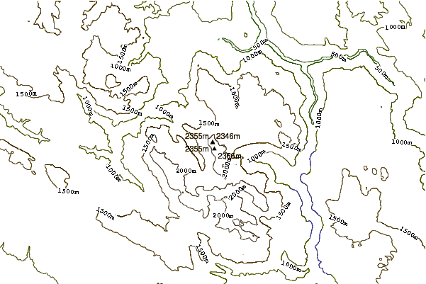
10 other mountain peaks closest to Maglic:
 Maglic – Climbing, Hiking & Mountaineering information
 Like us
 Follow us
