– Lat/Long: 37.11° N 121.84° W
 Loma Prieta – Climbing, Hiking & Mountaineering information
Loma Prieta – Climbing, Hiking & Mountaineering information
Loma Prieta mountain guide
- Elevation: 1155 m
- Difficulty:
- Best months to climb:
- Convenient center:
Loma Prieta Climbing NotesBe the first to submit your climbing note! Please submit any useful information about climbing Loma Prieta that may be useful to other climbers. Consider things such as access and accommodation at the base of Loma Prieta, as well as the logistics of climbing to the summit. |
| Select a
mountain summit from the menu |
||
|
Select a Mountain Summit
|
||
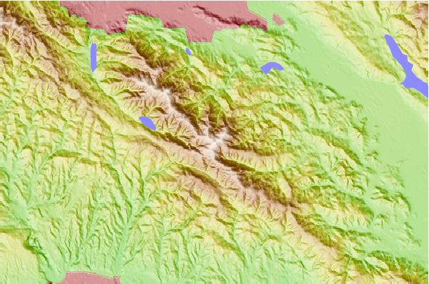
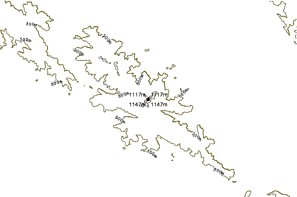
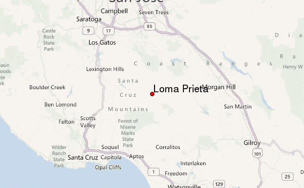
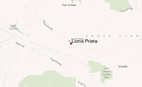
Use this relief map to navigate to mountain peaks in the area of Loma Prieta.
10 other mountain peaks closest to Loma Prieta:
| 1. | Mount Umunhum (1062 m) | 7.4 km |
| 2. | Mount Thayer (1060 m) | 8.9 km |
| 3. | Mount Bielawski (986 m) | 25.4 km |
| 4. | Mount Sizer (980 m) | 31.4 km |
| 5. | Mount Hamilton (1283 m) | 32.5 km |
| 6. | Long Ridge (San Mateo County, California) (792 m) | 34.8 km |
| 7. | Black Mountain (near Los Altos, California) (857 m) | 35.5 km |
| 8. | Black Mountain (Milpitas) (1205 m) | 38.4 km |
| 9. | Monument Peak (Milpitas, California) (792 m) | 41.7 km |
| 10. | Mount Allison (812 m) | 43.2 km |
 Like us
 Follow us
