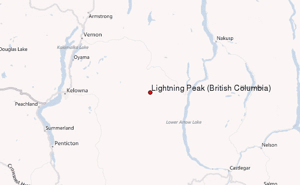
– Lat/Long: 49.88° N 118.52° W
 Lightning Peak (British Columbia) – Climbing, Hiking & Mountaineering information
Lightning Peak (British Columbia) – Climbing, Hiking & Mountaineering information
Lightning Peak (British Columbia) mountain guide
- Elevation: 2139 m
- Difficulty:
- Best months to climb:
- Convenient center:
Lightning Peak (British Columbia) Climbing NotesBe the first to submit your climbing note! Please submit any useful information about climbing Lightning Peak (British Columbia) that may be useful to other climbers. Consider things such as access and accommodation at the base of Lightning Peak (British Columbia), as well as the logistics of climbing to the summit. |
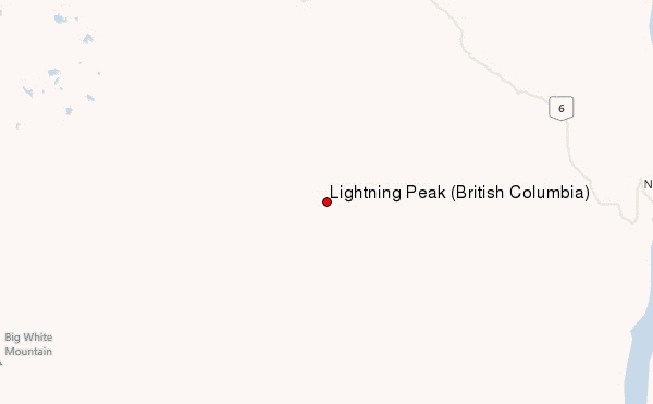
Select Lightning Peak (British Columbia) Location Map Detail:
| Select a
mountain summit from the menu |
||
|
Select a Mountain Summit
|
||
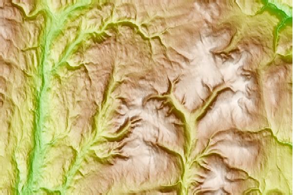
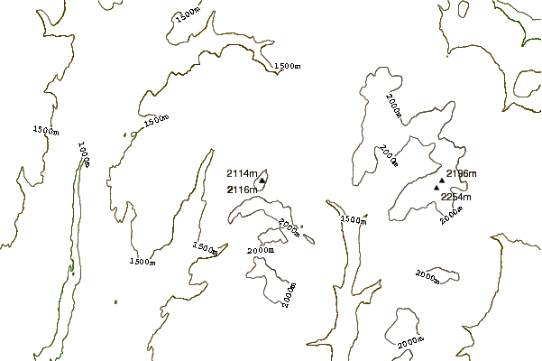

Use this relief map to navigate to mountain peaks in the area of Lightning Peak (British Columbia).
10 other mountain peaks closest to Lightning Peak (British Columbia):
| 1. | Big White Mountain (2315 m) | 33.2 km |
| 2. | Mount Boucherie (758 m) | 75.4 km |
| 3. | Mount Odin (British Columbia) (2970 m) | 80.0 km |
| 4. | Okanagan Mountain (1576 m) | 80.2 km |
| 5. | Red Mountain (Rossland) (1591 m) | 101.2 km |
| 6. | Grays Peak (British Columbia) (2753 m) | 101.8 km |
| 7. | Anarchist Mountain (1491 m) | 110.5 km |
| 8. | Queest Mountain (2087 m) | 125.8 km |
| 9. | Abercrombie Peak (2175 m) | 130.8 km |
| 10. | Maple Mountain (Washington) (1615 m) | 131.0 km |
 Like us
 Follow us
