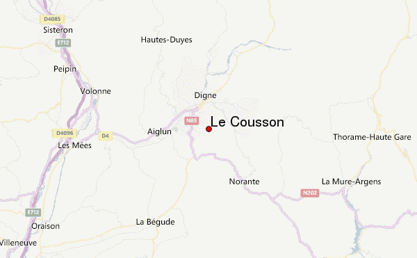
– Lat/Long: 44.05° N 6.24° E
 Le Cousson – Climbing, Hiking & Mountaineering information
Le Cousson – Climbing, Hiking & Mountaineering information
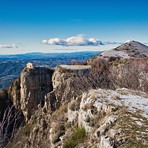
Le Cousson mountain guide
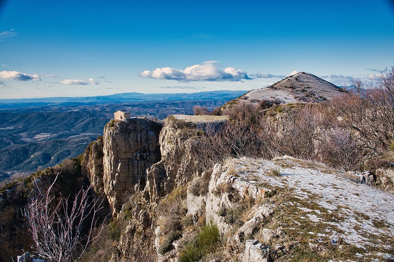
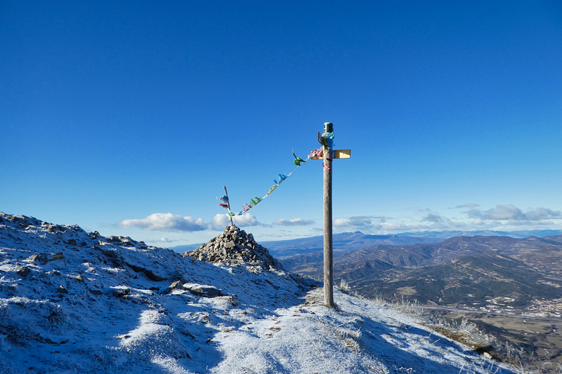
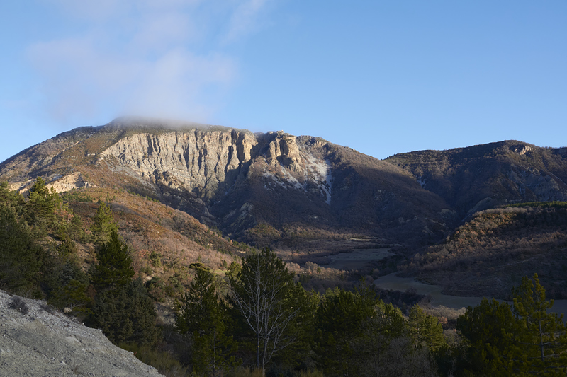
- Elevation: 1516 m
- Difficulty: walk up
- Best months to climb:
- Convenient center: Digne-les-Bains
Le Cousson Climbing NotesBe the first to submit your climbing note! Please submit any useful information about climbing Le Cousson that may be useful to other climbers. Consider things such as access and accommodation at the base of Le Cousson, as well as the logistics of climbing to the summit. |
| Select a
mountain summit from the menu |
||
|
Select a Mountain Summit
|
||
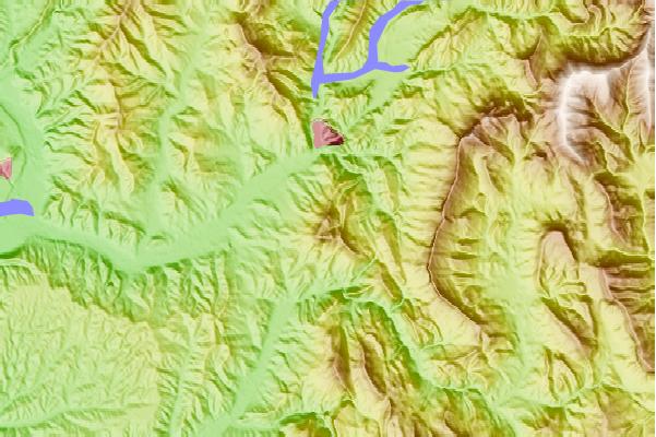
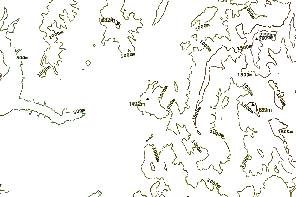
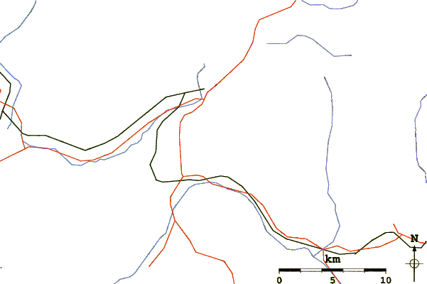
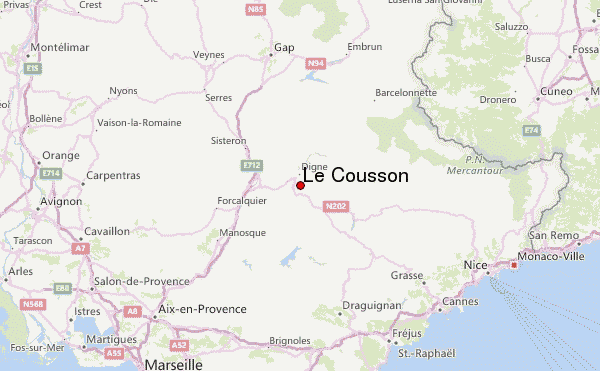
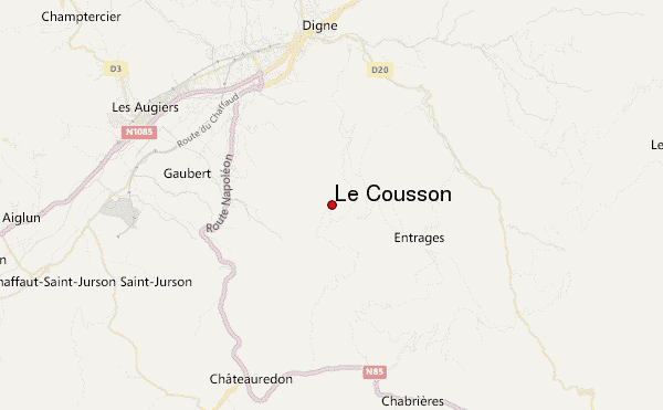
Use this relief map to navigate to mountain peaks in the area of Le Cousson.
10 other mountain peaks closest to Le Cousson:
| 1. | Mont Pelat (3050 m) | 44.0 km |
| 2. | Cime de la Bonette (2860 m) | 54.3 km |
| 3. | Mont Guillaume (2542 m) | 59.2 km |
| 4. | Rocca dei Tre Vescovi (2867 m) | 62.1 km |
| 5. | Enciastraia (2955 m) | 62.5 km |
| 6. | Pic De Bure (2708 m) | 67.8 km |
| 7. | Aiguille de Chambeyron (3412 m) | 72.2 km |
| 8. | Montagne Sainte Victoire (1011 m) | 74.8 km |
| 9. | Mont Ventoux (1912 m) | 77.5 km |
| 10. | Rocher Rond (2453 m) | 78.8 km |
 Like us
 Follow us
