– Lat/Long: 45.72° N 122.30° W
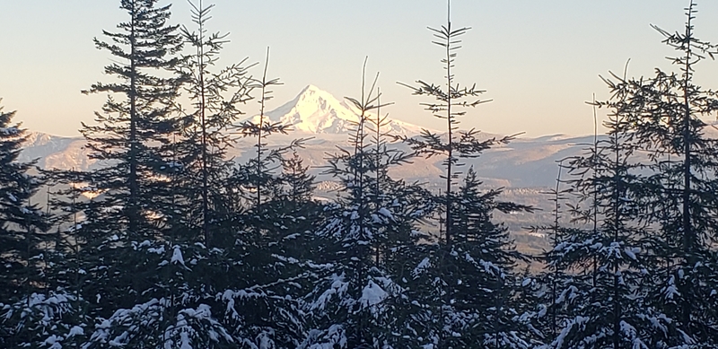
 Larch Mountain (Clark County, Washington) – Climbing, Hiking & Mountaineering information
Larch Mountain (Clark County, Washington) – Climbing, Hiking & Mountaineering information
Larch Mountain (Clark County, Washington) mountain guide
- Elevation: 1061 m
- Difficulty:
- Best months to climb:
- Convenient center:
Larch Mountain (Clark County, Washington) Climbing NotesBe the first to submit your climbing note! Please submit any useful information about climbing Larch Mountain (Clark County, Washington) that may be useful to other climbers. Consider things such as access and accommodation at the base of Larch Mountain (Clark County, Washington), as well as the logistics of climbing to the summit. |
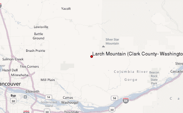
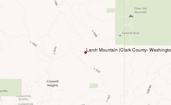
Select Larch Mountain (Clark County, Washington) Location Map Detail:
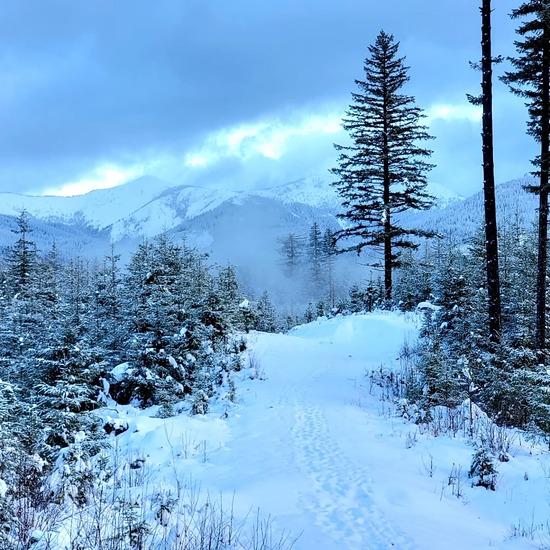
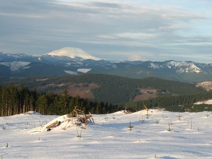
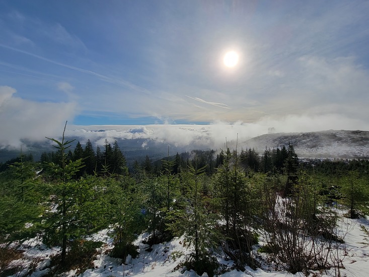
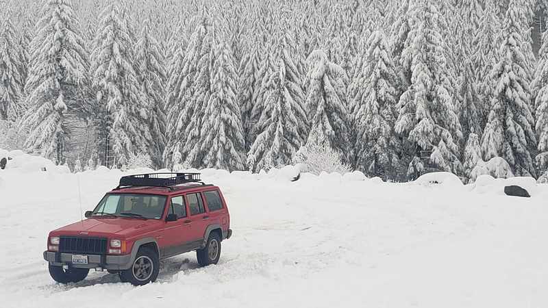
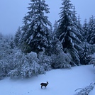
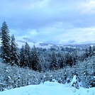
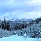
Latest Gallery Images for Larch Mountain (Clark County, Washington)

Upload your photo of Larch Mountain (Clark County, Washington)
| Select a
mountain summit from the menu |
||
|
Select a Mountain Summit
|
||
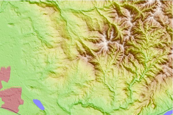
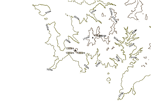
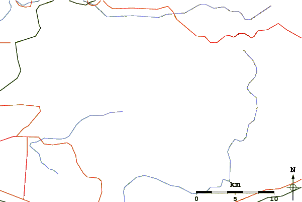
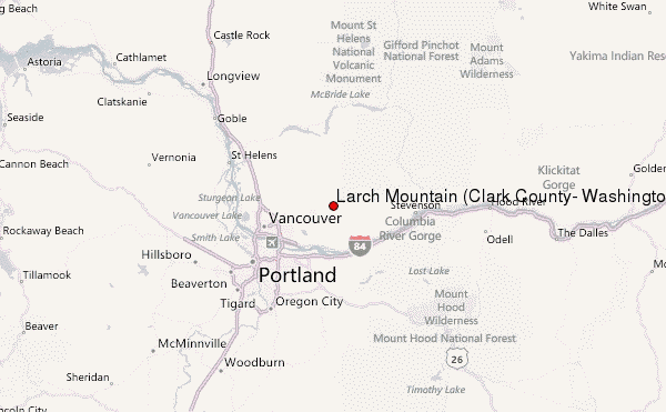
Use this relief map to navigate to mountain peaks in the area of Larch Mountain (Clark County, Washington).
10 other mountain peaks closest to Larch Mountain (Clark County, Washington):
| 1. | Silver Star Mountain (Skamania County, Washington) (1330 m) | 5.6 km |
| 2. | Elkhorn Mountain (Washington) (678 m) | 6.3 km |
| 3. | Battle Ground Lake State Park (229 m) | 18.2 km |
| 4. | West Crater (1329 m) | 24.0 km |
| 5. | Table Mountain (Skamania County, Washington) (1042 m) | 24.5 km |
| 6. | Greenleaf Peak (1044 m) | 25.6 km |
| 7. | Larch Mountain (Multnomah County, Oregon) (1238 m) | 26.1 km |
| 8. | Trout Creek Hill (890 m) | 26.9 km |
| 9. | Powell Butte (187 m) | 30.2 km |
| 10. | Marble Mountain-Trout Creek Hill (150 m) | 30.7 km |

 Like us
 Follow us
