– Lat/Long: 28.26° N 85.52° E
 Langtang Lirung – Climbing, Hiking & Mountaineering information
Langtang Lirung – Climbing, Hiking & Mountaineering information
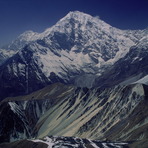
Langtang Lirung mountain guide
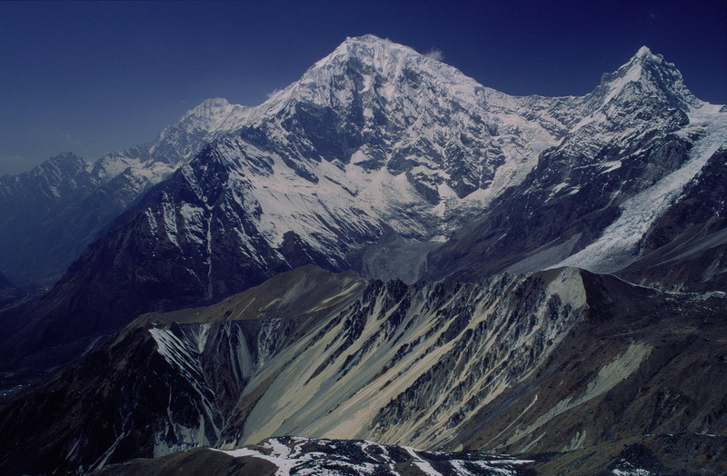
- Elevation: 7227 m
- Difficulty:
- Best months to climb:
- Convenient center:
Langtang Lirung Climbing NotesBe the first to submit your climbing note! Please submit any useful information about climbing Langtang Lirung that may be useful to other climbers. Consider things such as access and accommodation at the base of Langtang Lirung, as well as the logistics of climbing to the summit. |
| Select a
mountain summit from the menu |
||
|
Select a Mountain Summit
|
||
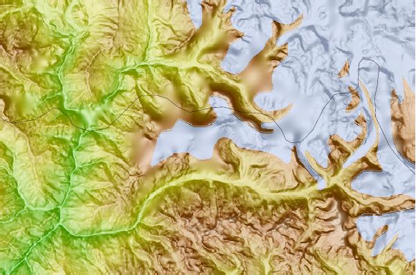
Use this relief map to navigate to mountain peaks in the area of Langtang Lirung.
10 other mountain peaks closest to Langtang Lirung:
| 1. | Yala Peak (5520 m) | 9.6 km |
| 2. | Langtang-ri (7205 m) | 9.7 km |
| 3. | Baden-Powell Peak (5718 m) | 10.0 km |
| 4. | Naya Kanga (5846 m) | 10.1 km |
| 5. | Dragmarpo Ri (6578 m) | 15.2 km |
| 6. | Dorje Lakpa (6966 m) | 27.0 km |
| 7. | Shisha Pangma (8013 m) | 27.9 km |
| 8. | Loengpogang (7083 m) | 28.3 km |
| 9. | Molamenqing or Phola Gangchen (摩拉门青) (7703 m) | 30.7 km |
| 10. | Paldor (5928 m) | 33.0 km |
 Like us
 Follow us
