– Lat/Long: 36.02° S 70.58° W
 Laguna Del Maule – Climbing, Hiking & Mountaineering information
Laguna Del Maule – Climbing, Hiking & Mountaineering information
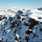
Laguna Del Maule mountain guide
- Elevation: 3092 m
- Difficulty:
- Best months to climb:
- Convenient center:
Laguna Del Maule Climbing NotesBe the first to submit your climbing note! Please submit any useful information about climbing Laguna Del Maule that may be useful to other climbers. Consider things such as access and accommodation at the base of Laguna Del Maule, as well as the logistics of climbing to the summit. |
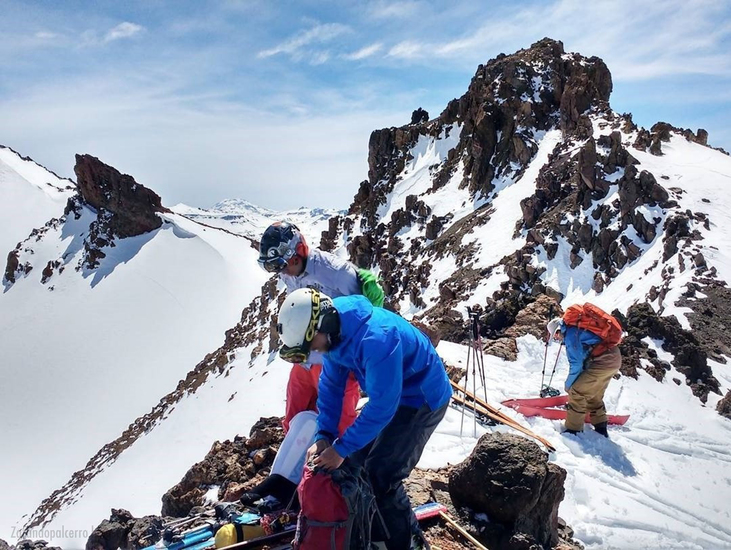
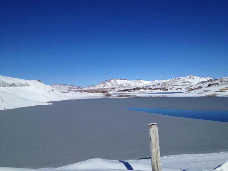
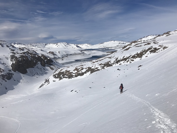
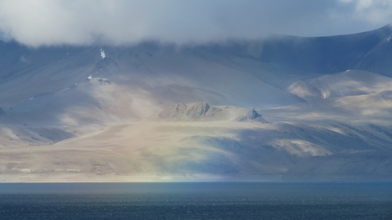
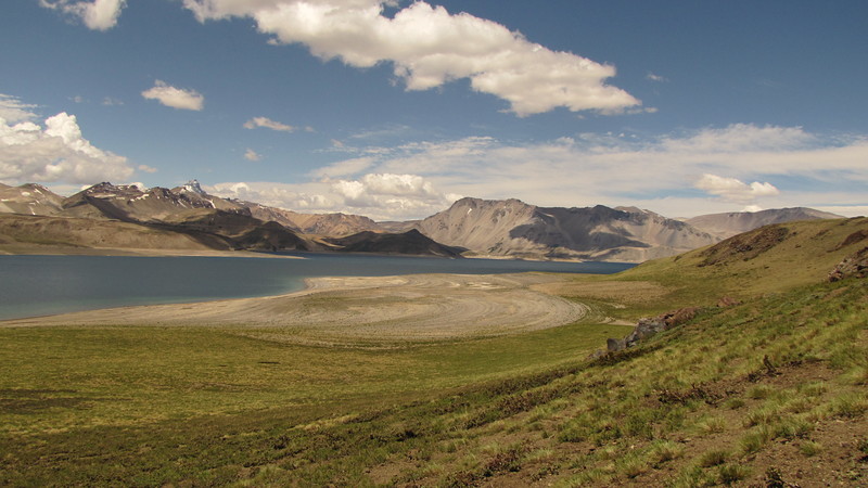
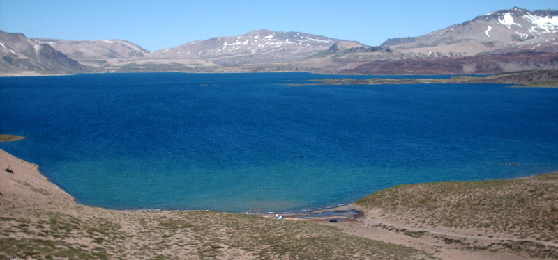
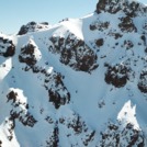
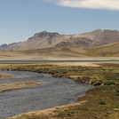
Latest Gallery Images for Laguna Del Maule

| Select a
mountain summit from the menu |
||
|
Select a Mountain Summit
|
||
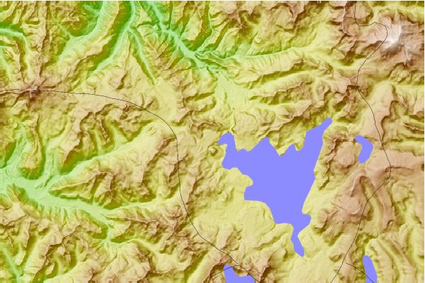
Use this relief map to navigate to mountain peaks in the area of Laguna Del Maule.
10 other mountain peaks closest to Laguna Del Maule:
| 1. | San Pedro-pellado (3621 m) | 24.5 km |
| 2. | Los Hornitos (2000 m) | 38.7 km |
| 3. | Cerro Azul Or Quizapu (3788 m) | 44.0 km |
| 4. | Cerro Azul (Chile volcano) (3788 m) | 44.0 km |
| 5. | Loma Blanca (2268 m) | 48.6 km |
| 6. | Descabezado Grande (3953 m) | 51.3 km |
| 7. | Calabozos (3508 m) | 52.0 km |
| 8. | Nevado De Longavi (3242 m) | 55.7 km |
| 9. | Volcan Resago (1550 m) | 56.8 km |
| 10. | Mondaca (2048 m) | 65.0 km |
 Like us
 Follow us
