– Lat/Long: 36.18° N 70.98° E
 Kuh-e Bandaka – Climbing, Hiking & Mountaineering information
Kuh-e Bandaka – Climbing, Hiking & Mountaineering information
Kuh-e Bandaka mountain guide
- Elevation: 6812 m
- Difficulty:
- Best months to climb:
- Convenient center:
Kuh-e Bandaka Climbing NotesBe the first to submit your climbing note! Please submit any useful information about climbing Kuh-e Bandaka that may be useful to other climbers. Consider things such as access and accommodation at the base of Kuh-e Bandaka, as well as the logistics of climbing to the summit. |
| Select a
mountain summit from the menu |
||
|
Select a Mountain Summit
|
||
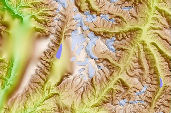
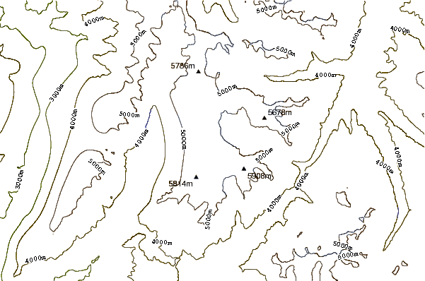
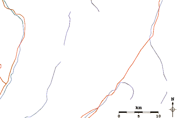
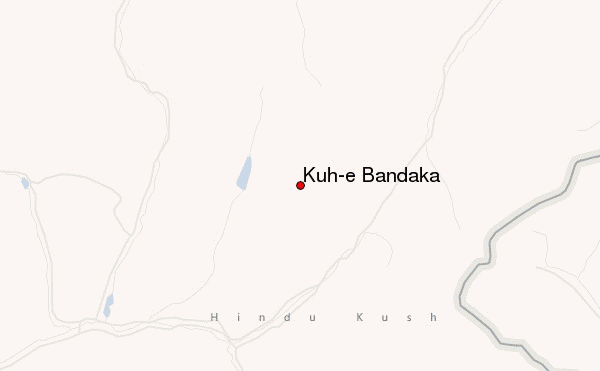
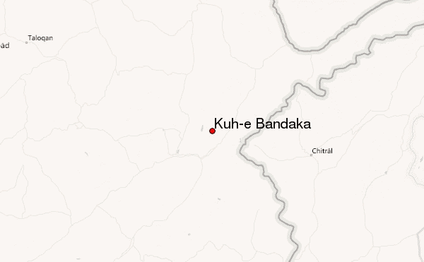
Use this relief map to navigate to mountain peaks in the area of Kuh-e Bandaka.
10 other mountain peaks closest to Kuh-e Bandaka:
| 1. | Saraghrar (7349 m) | 41.2 km |
| 2. | Tirich Mir (7706 m) | 76.8 km |
| 3. | Istor-o-Nal (7403 m) | 84.5 km |
| 4. | Noshaq (7492 m) | 87.0 km |
| 5. | Shachaur (7084 m) | 97.4 km |
| 6. | Udren Zom (7140 m) | 98.3 km |
| 7. | Buni Zom (6551 m) | 118.7 km |
| 8. | Shah Dhar (7038 m) | 124.4 km |
| 9. | Lunkho e Dosare (6901 m) | 146.1 km |
| 10. | Falak Sher (5918 m) | 171.5 km |
 Like us
 Follow us
