Kreuzspitze mountain guide
- Elevation: 3457 m
- Difficulty: Basic Snow and Ice Climb
- Best months to climb: July, August, September
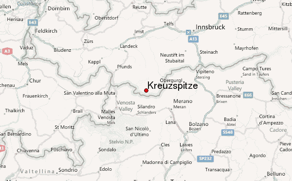
- Convenient center: Vent
Kreuzspitze Climbing Notes
Henkus from NETHERLANDS writes:
Kreuzspitze (3457m)
Date climbed: 12-9-2014
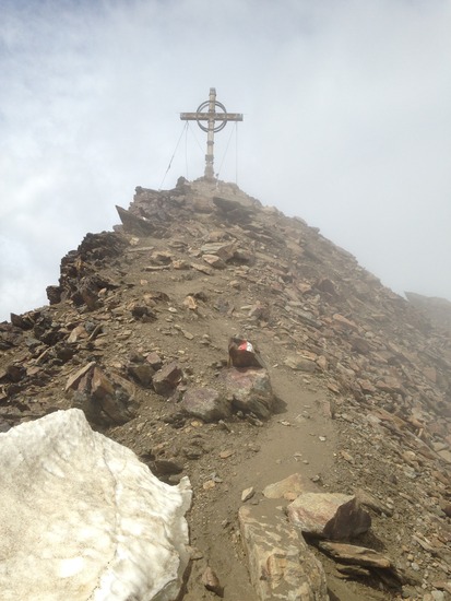
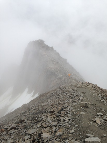
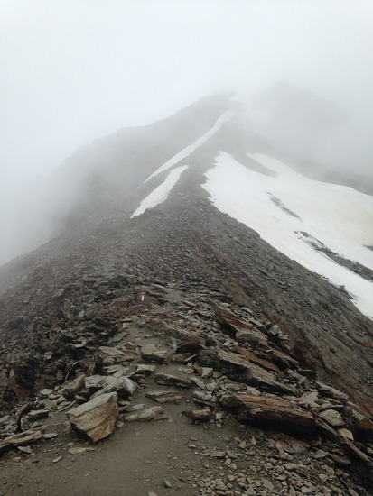
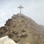
We reached the top of the Kreuzspitze from mountain village Vent (1900m). It is a 2 h walk to the Martin-Busch hutte (2501m = +600m, 5 km). From the M-B hutte it is a 3 h climb to the summit (3457m = +1000m, 2.5 km). In 4 h you can descent to Vent. The route is relative simple and well marked. Snow might cover the markings. Mist and clouds could also be a problem. You pass one or two snow fields but you need no crampons as the snow fields are horizontal. The top houses a great top cross and a fantastic view!
Arjen Buitenhuis
Henk de Weerd
2014-09-15 |
Click here to submit your own climbing note for Kreuzspitze
|
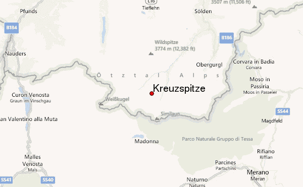
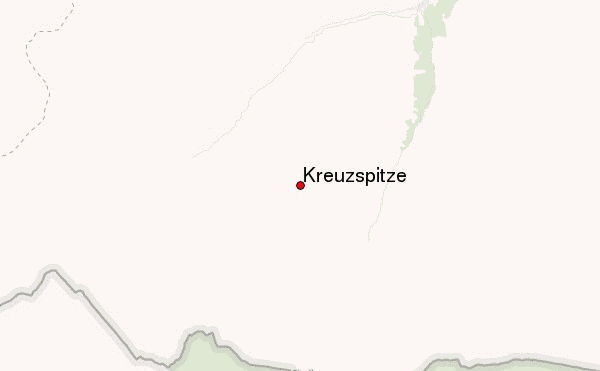
Select Kreuzspitze Location Map Detail:
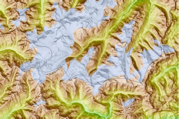
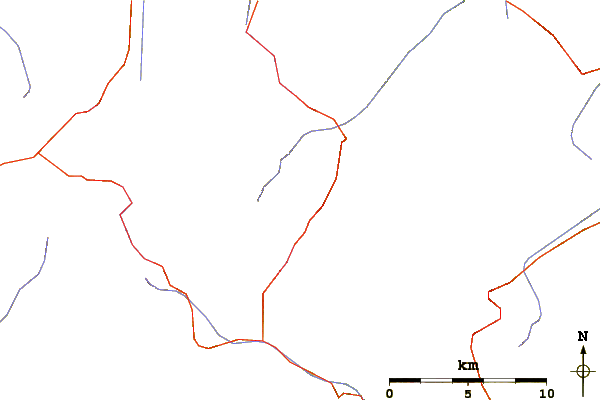
Use this relief map to navigate to mountain peaks in the area of Kreuzspitze.
10 other mountain peaks closest to Kreuzspitze:
 Kreuzspitze – Climbing, Hiking & Mountaineering information

 Like us
 Follow us
