– Lat/Long: 27.80° N 86.62° E
 Kongde Ri
Weather Forecast, NepalIssued: 10 am Tue 09 Jun Local TimeUpdates in: hr min sUpdate imminent
Issued: 10 am Tue 09 Jun Local Time
Updates in:
Update imminent hr min s

Issued: 10 am Tue 09 Jun Local Time
Updates in:
Update imminent hr min s
Days 1–3 Weather SummaryA light covering of new snow mostly falling on Wed morning. Temperatures will be below freezing (max -4°C on Tue morning, min -7°C on Wed night). Wind will be generally light. | Days 4–6 Weather SummaryA dusting of new snow. Temperatures will be below freezing (max -3°C on Sun morning, min -6°C on Fri night). Wind will be generally light. | |||||||||||||||||
Tuesday 9 | Wednesday 10 | Thursday 11 | Friday 12 | Saturday 13 | Sunday 14 | |||||||||||||
AM | PM | night | AM | PM | night | AM | PM | night | AM | PM | night | AM | PM | night | AM | PM | night | |
some clouds | some clouds | some clouds | snow shwrs | snow shwrs | light snow | snow shwrs | snow shwrs | some clouds | some clouds | snow shwrs | snow shwrs | snow shwrs | snow shwrs | clear | some clouds | some clouds | clear | |
km/h | ||||||||||||||||||
 |  |  |  |  |  | |||||||||||||
— | — | — | 1 | 1 | 2 | 1 | 2 | — | — | 1 | 1 | 1 | 1 | — | — | — | — | |
— | — | — | — | — | — | — | — | — | — | — | — | — | — | — | — | — | — | |
max °C | -4 | -4 | -4 | -5 | -5 | -6 | -7 | -5 | -5 | -5 | -4 | -5 | -4 | -4 | -4 | -3 | -3 | -3 |
min °C | -5 | -4 | -5 | -6 | -6 | -7 | -7 | -6 | -6 | -5 | -5 | -6 | -5 | -4 | -5 | -4 | -3 | -5 |
-12 | -10 | -10 | -13 | -13 | -12 | -13 | -11 | -10 | -10 | -11 | -12 | -10 | -9 | -10 | -10 | -9 | -9 | |
5400 | 5500 | 5150 | 5150 | 5200 | 5000 | 5050 | 5300 | 5150 | 5400 | 5500 | 5150 | 5500 | 5550 | 5300 | 5600 | 5600 | 5300 | |
Cloud base (m) | 5050 | 4950 | 5200 | 5100 | 5050 | 4900 | 4950 | 5000 | 5050 | 4900 | 5100 | 5000 | 4950 | 5300 | 5200 | 5050 | 5800 | |
5:01 | — | — | 5:01 | — | — | 5:01 | — | — | 5:01 | — | — | 5:01 | — | — | 5:01 | — | — | |
— | 6:52 | — | — | 6:53 | — | — | 6:53 | — | — | 6:53 | — | — | 6:54 | — | — | 6:54 | — | |
Loading...
Kongde Ri Weather (Days 0-3):
The weather forecast for Kongde Ri is: A light covering of new snow mostly falling on Wed morning. Temperatures will be below freezing (max -4°C on Tue morning, min -7°C on Wed night). Wind will be generally light.
Kongde Ri Weather (Days 3-6):
A dusting of new snow. Temperatures will be below freezing (max -3°C on Sun morning, min -6°C on Fri night). Wind will be generally light.
This table gives the weather forecast for Kongde Ri at the specific elevation of 6187 m. Our advanced weather models allow us to provide distinct weather forecasts for several elevations of Kongde Ri. To see the weather forecasts for the other elevations, use the tab navigation above the table. For a wider overview of the weather, consult the Weather Map of Nepal.
| Weather Station | Temp. | Weather | Wind | Gusts | Cloud / Visibility |
|---|---|---|---|---|---|
Tingri | |||||
Gangtok | |||||
Pakyong Airport- Pakyong | |||||
Baghdogra (in-af | |||||
Tetulia-Panchagor | |||||
* NOTE: not all weather observatories update at the same frequency which is the reason why some locations may show data from stations that are further away than known closer ones.
Kongde Ri Photos
View all
Lumding Himal photos (6) |
Greater Himalaya photos (359) |
photos from mountains in Nepal (283) |
all photos
 Upload new photo


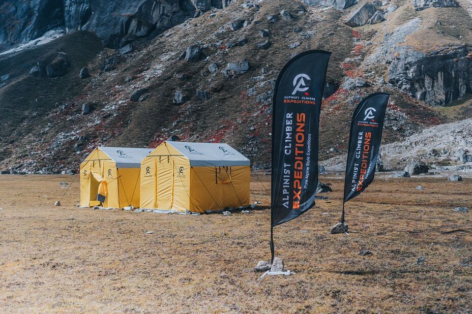
Alpinist Climber Expeditions - ACE
Alpinist Climber Expeditions - ACE
Alpinist Climber Expeditions - ACE
Alpinist Climber Expeditions
Baahrakhari Everest golf
Alpinist Climber Expeditions - ACE