Knockmealdown mountain guide
- Elevation: 794 m
- Difficulty:
- Best months to climb:
- Convenient center:
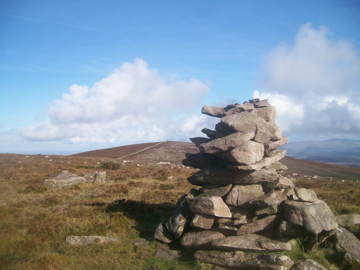
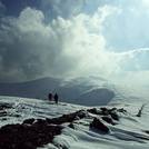
Knockmealdown Climbing Notes
Waterford's mountains from IRELAND writes:
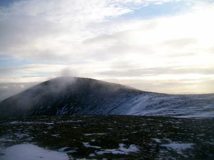
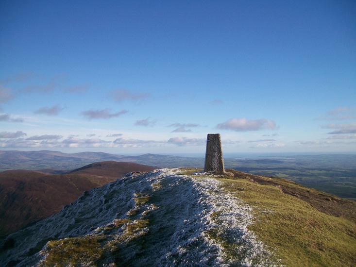
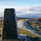
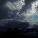
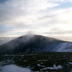
In very clear conditions the high Kerry mountains can be seen from Knockmealdown summit. Knockshanahullion summit in the west of the range has a lovely shelter built in to the summit cairn to give shelter from the elements.
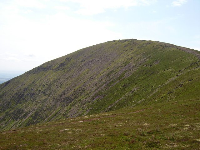
The Knockmealdown Mountains are a mountain range located on the border of counties South Tipperary and Waterford in Ireland, running east and west between the two counties. The highest peak of the range is Knockmealdown, situated in County Waterford. On the western side of the summit, the range is crossed by a high pass through which runs the old mail coach road from Lismore to Clogheen.
Name
Knockmealdown has two interpretations of the Irish origins of its name, either Cnoc Mhaoldomhnaigh: Muldowneys' Hill or Cnoc Maol Donn: bald brown hill.
Mountain peaks
List of peaks in the Knockmealdown Mountains ordered by height:
Knockmealdown (794 m)
Knockmoylan (768 m)
Knocknafallia (668 m)
Sugarloaf Hill (663 m)
Knocknagnauv (655 m)
Knockshanahullion (652 m)
Knocknalougha (630 m)
Knockmeal (560 m)
Crohan West (521 m)
Farbreaga (518 m)
2011-08-30 |
Click here to read 2 more climbing notes for Knockmealdown or submit your own
|
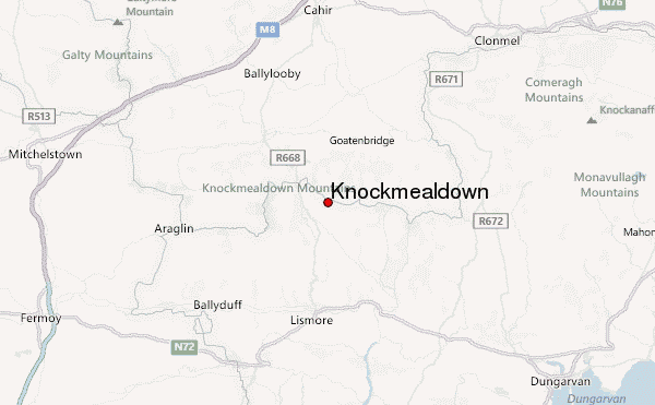
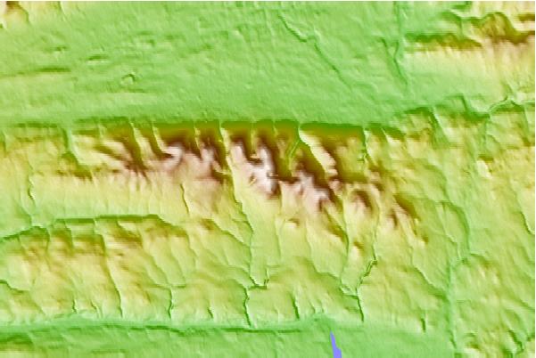
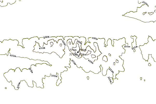
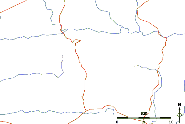
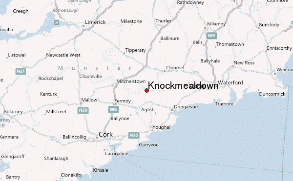
Select Knockmealdown Location Map Detail:
Use this relief map to navigate to mountain peaks in the area of Knockmealdown.
10 other mountain peaks closest to Knockmealdown:
 Knockmealdown – Climbing, Hiking & Mountaineering information
 Like us
 Follow us
