Kings Peak (Utah) mountain guide
- Elevation: 4123 m
- Difficulty: Scramble
- Best months to climb: June, July, August, September
- Convenient center: Mountain View, Wyoming, Kamas, Utah
Kings Peak (Utah) Climbing Notes
Dan mccann from UNITED STATES writes:
Most summit via Henry's fork up Gunsight colouir. The chute is about 1300 vertical of loose scree at 38 degrees. It is best done with snow cover, but when dry care should be taken while descending. Ski poles can help greatly for both up and down on this stretch. Lightning, of course, is possibly the biggest hazard as well.
2018-09-01 |
Click here to submit your own climbing note for Kings Peak (Utah)
|
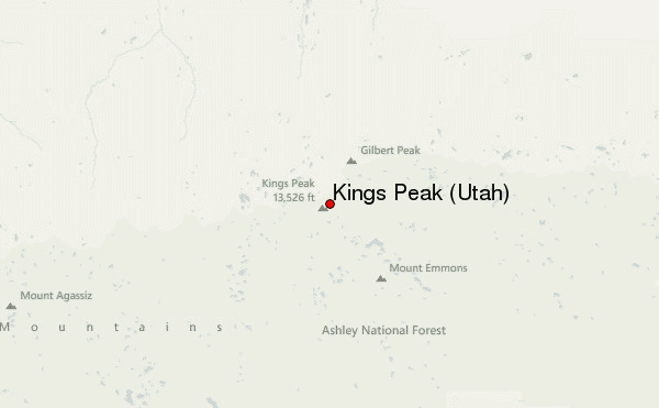
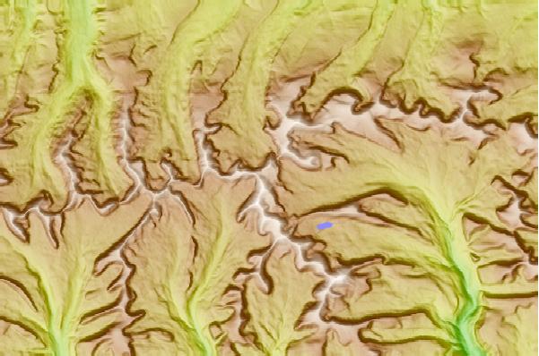
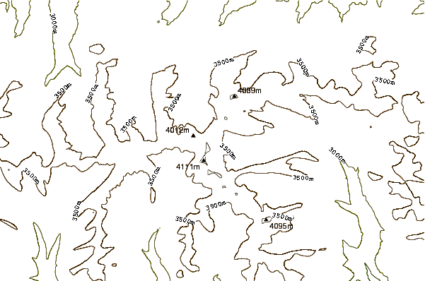
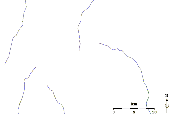
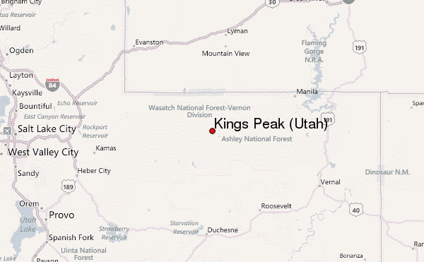
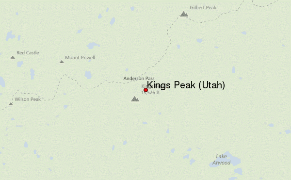
Select Kings Peak (Utah) Location Map Detail:
Use this relief map to navigate to mountain peaks in the area of Kings Peak (Utah).
10 other mountain peaks closest to Kings Peak (Utah):
 Kings Peak (Utah) – Climbing, Hiking & Mountaineering information
 Like us
 Follow us
