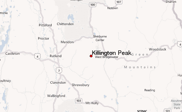
– Lat/Long: 43.60° N 72.82° W
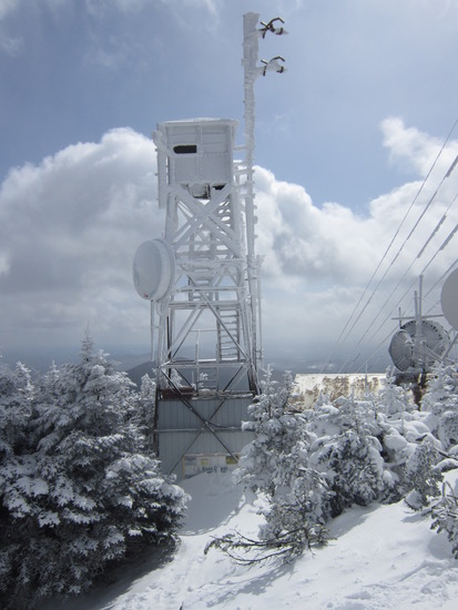
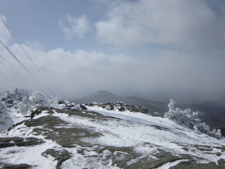
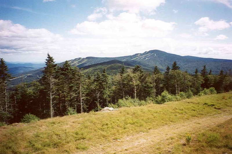
 Killington Peak – Climbing, Hiking & Mountaineering information
Killington Peak – Climbing, Hiking & Mountaineering information
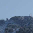
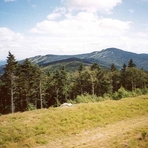
Killington Peak mountain guide
- Elevation: 1291 m
- Difficulty:
- Best months to climb:
- Convenient center:
Killington Peak Climbing NotesBe the first to submit your climbing note! Please submit any useful information about climbing Killington Peak that may be useful to other climbers. Consider things such as access and accommodation at the base of Killington Peak, as well as the logistics of climbing to the summit. |
| Select a
mountain summit from the menu |
||
|
Select a Mountain Summit
|
||
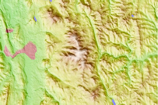
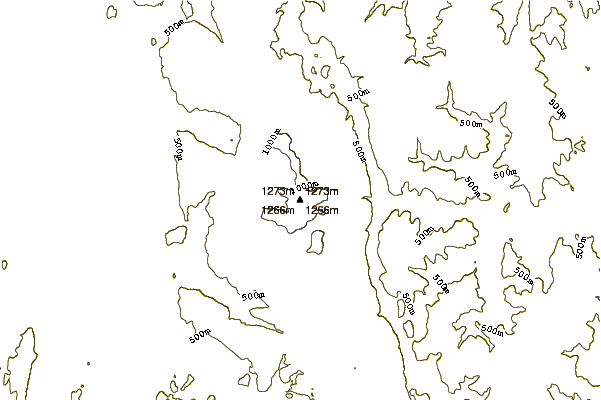
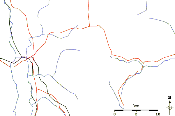
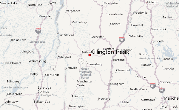
Use this relief map to navigate to mountain peaks in the area of Killington Peak.
10 other mountain peaks closest to Killington Peak:
| 1. | Mendon Peak (Vermont) (1170 m) | 2.3 km |
| 2. | Shrewsbury Peak (1130 m) | 3.3 km |
| 3. | Pico Peak (1206 m) | 4.1 km |
| 4. | Ludlow Mountain (1019 m) | 24.1 km |
| 5. | Mount Ascutney (958 m) | 34.4 km |
| 6. | Dorset Mountain (1150 m) | 36.9 km |
| 7. | Gile Mountain (571 m) | 42.9 km |
| 8. | Mount Aeolus (Vermont) (985 m) | 44.1 km |
| 9. | Bread Loaf Mountain (Vermont) (1169 m) | 45.3 km |
| 10. | Mount Wilson (Vermont) (1155 m) | 45.4 km |
 Like us
 Follow us
