Kerkis mountain guide

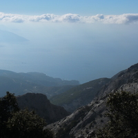
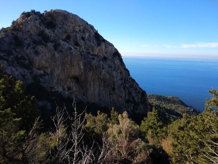
Kerkis
Photo credit: Constantinos G.
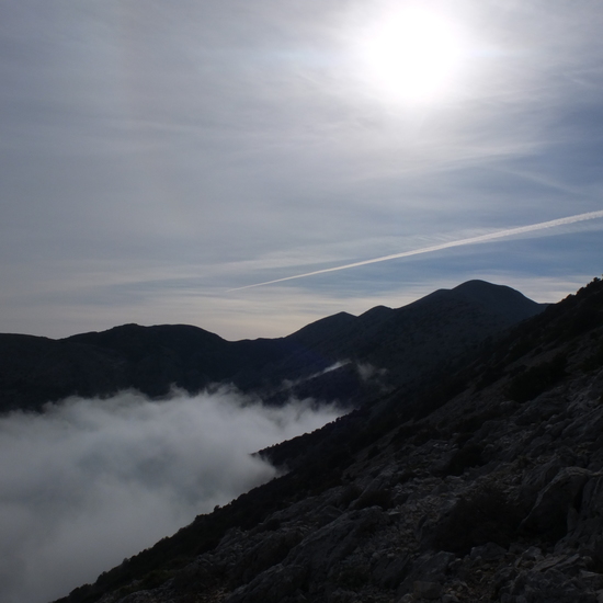
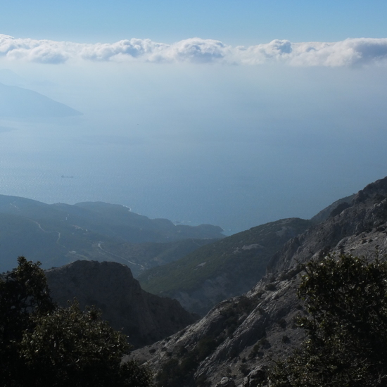
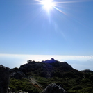
Kerkis
Photo credit: Constantinos G.
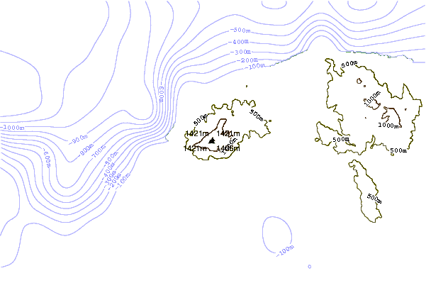
- Elevation: 1433 m
- Difficulty:
- Best months to climb:
- Convenient center:
Kerkis Climbing Notes
Kai from GERMANY writes:
Start from Marathokambos / Votsalakia with rental car or bike and follow the signs lead to "Pythagoras Cave". At the end of road you start the walk up following the signs lead to Monastir "Evangelistria". At the Monastir (ca. 1,5 hrs walk up) is a very beautiful place for a first rest and you can although fill up you water bottles at the spring. Further way is marked (stones and/or red colour marks)and leads up the way to "Profitis Ilias" - Chapel. Next way is good to find and leads to the summit. Total climbing (walk up...) time is about 3-4 hrs. up, 2-3 hrs. down. Samos can be hot in summer, take at least 3 litres. of water with you, dont walk up with running shoes or something. Good Mountain / Trekking boots are required. Don´t walk if it is foggy or cloudy - then its impossible to find the right way and Kerkis can be very dangerous!
So, come to Samos and go for it - it´s one of the most beautiful islands and the Kerkis - Tour is really worthy!
2011-03-11 |
Click here to read 1 more climbing note for Kerkis or submit your own
|
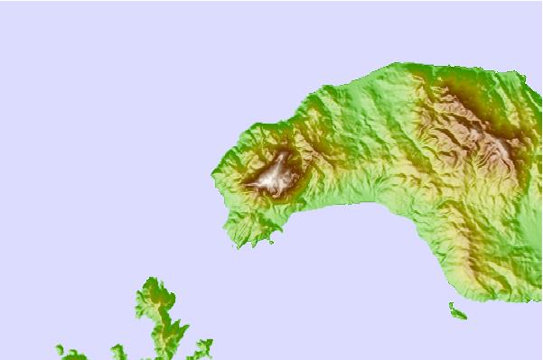
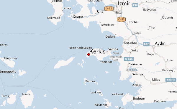
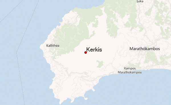
Select Kerkis Location Map Detail:
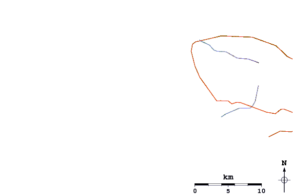
Use this relief map to navigate to mountain peaks in the area of Kerkis.
10 other mountain peaks closest to Kerkis:
 Kerkis – Climbing, Hiking & Mountaineering information

 Like us
 Follow us
