– Lat/Long: 36.62° N 137.75° E
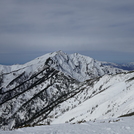
 Kashima Yarigatake – Climbing, Hiking & Mountaineering information
Kashima Yarigatake – Climbing, Hiking & Mountaineering information
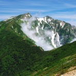
Kashima Yarigatake mountain guide
- Elevation: 2889 m
- Difficulty: Walk up
- Best months to climb: August, September, October
- Convenient center: Omachi, Nagano or Matsumoto, Nagano
Kashima Yarigatake Climbing NotesBe the first to submit your climbing note! Please submit any useful information about climbing Kashima Yarigatake that may be useful to other climbers. Consider things such as access and accommodation at the base of Kashima Yarigatake, as well as the logistics of climbing to the summit. |
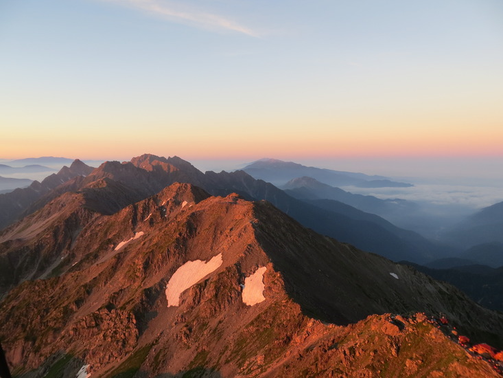
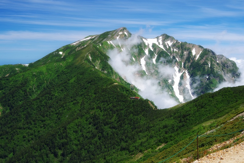
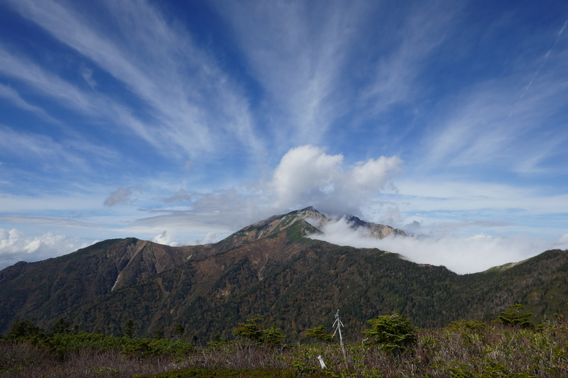
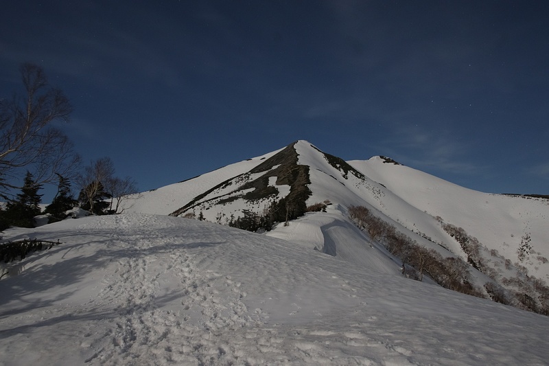
Latest Gallery Images for Kashima Yarigatake
| Select a
mountain summit from the menu |
||
|
Select a Mountain Summit
|
||
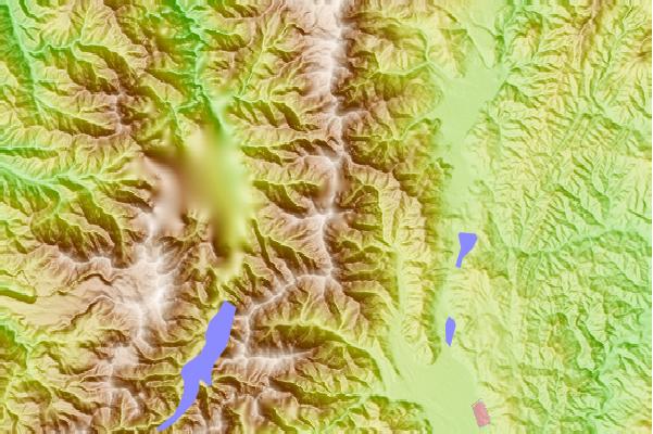
Use this relief map to navigate to mountain peaks in the area of Kashima Yarigatake.
10 other mountain peaks closest to Kashima Yarigatake:
| 1. | Goryu Dake (2814 m) | 3.9 km |
| 2. | Jiigatake (2670 m) | 4.1 km |
| 3. | Happo One and Karamatsu Dake (2696 m) | 7.8 km |
| 4. | Tsurugi Dake or Mt Tsurugi (2998 m) | 11.4 km |
| 5. | Tateyama or Tate-yama (3015 m) | 14.4 km |
| 6. | Shirouma Dake (2932 m) | 14.9 km |
| 7. | Mount Yakushi (2926 m) | 25.0 km |
| 8. | Tsubakuro Dake or Mt Tsubakuro (2763 m) | 25.1 km |
| 9. | Washiba Dake (2924 m) | 27.4 km |
| 10. | Mount Kurobegorō (2897 m) | 31.8 km |
 Like us
 Follow us
