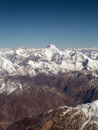
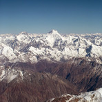
Kanjut Sar mountain guide
- Elevation: 7790 m
- Difficulty: Major Mountain Expedition
- Best months to climb: May, June, July, August
- Convenient center: Rawalpindi
Kanjut Sar Climbing Notes
saleh Hoper from PAKISTAN writes:
Kanjut Sar consists of two peaks:
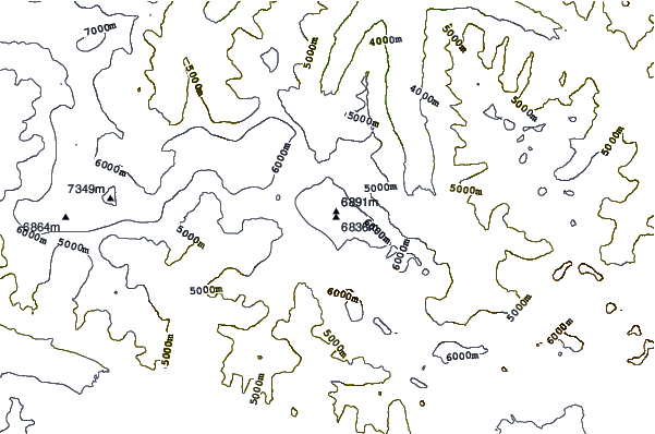
Kanjut Sar I at 7,760 metres (25,459 ft).
Kanjut Sar II, to the south east of I, at 6,831 m (22,411 ft).
Kanjut Sar I was first climbed in 1959 by Camillo Pellissier, member of an Italian expedition directed by Guido Monzino. Between 1981, August 4th and 6th, 7 japanese climbers of the same expedition climbed to the top.[2] In 2010 Russian-American expedition attempted to climb on the Eastern Ridge of Kanjut Sar and reached 7450 m, turning in bad weather.
From Islamabad to Gilgit
Gilgit to Nagar or Hoper Valley
Nagar to Hisper .
Hisper to Kanjut sar 1 takes 3 days
further information plz conatct
hoperrush@gmail.com
2014-09-26 |
Click here to submit your own climbing note for Kanjut Sar
|
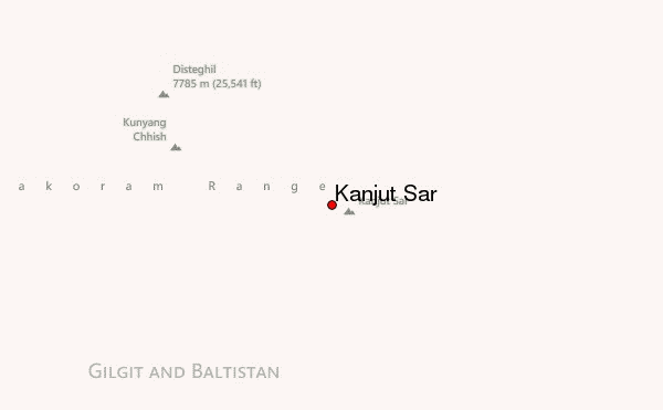
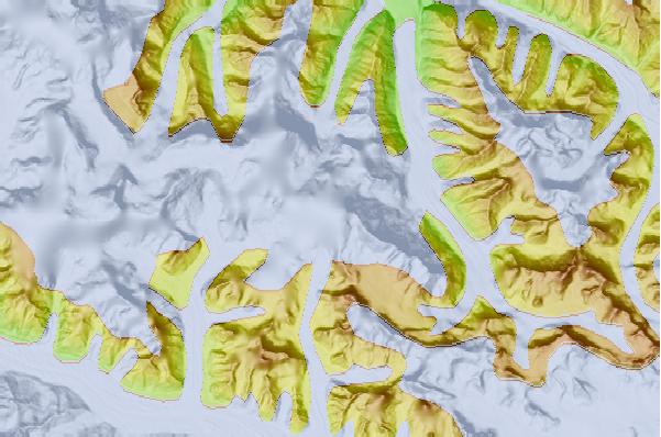
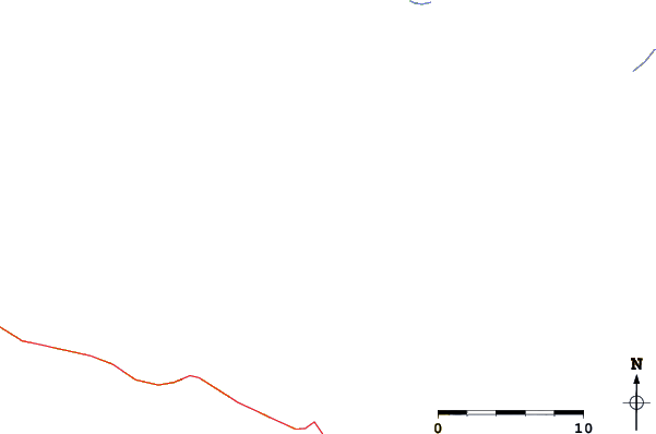
Select Kanjut Sar Location Map Detail:
Use this relief map to navigate to mountain peaks in the area of Kanjut Sar.
10 other mountain peaks closest to Kanjut Sar:
 Kanjut Sar – Climbing, Hiking & Mountaineering information
 Like us
 Follow us
