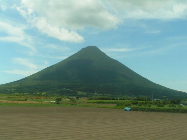
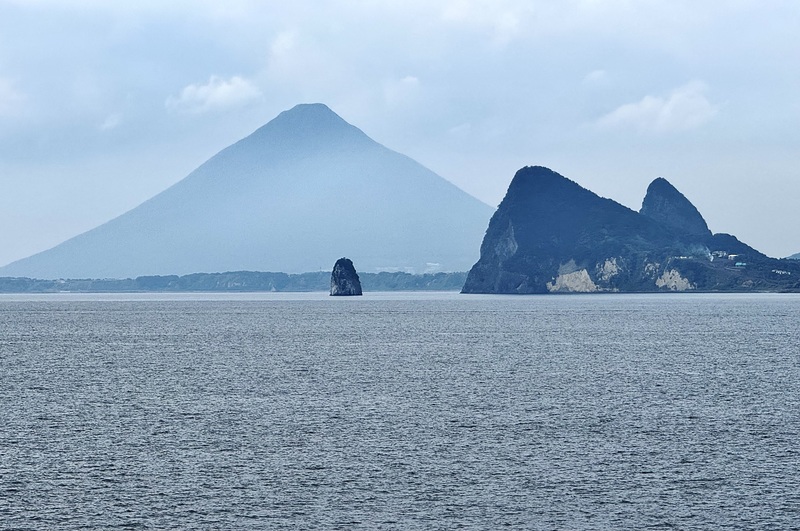
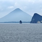
Kaimondake volcano mountain guide
- Elevation: 924 m
- Difficulty:
- Best months to climb:
- Convenient center:
Kaimondake volcano Climbing Notes
Joakim S from SWEDEN writes:
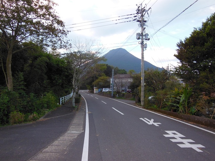
Climbed Kaimon-dake in late October 2015. Clear skies and still warm for the season.
As always it is better to come prepared for any weather. Bring rain gear and sturdy shoes as part of the hike to the top is rather rocky. The summit had strong winds so better bring a windstopper or warm jacket.
For me as a young amateur hiker it took around 3 hours from the nearby Kaimon station (around 2 meters about sea level) to the summit including a few breaks and another 2 hours back down.
About 100 meters before the trail entrance is the last toilet and vending machine before the hike, a recommendation if needed.
Come early (6-7 AM) so you get time to return before sunset as the forest on the mountain becomes pitch black.
2016-01-24 |
Click here to submit your own climbing note for Kaimondake volcano
|
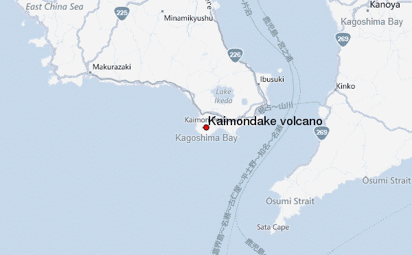
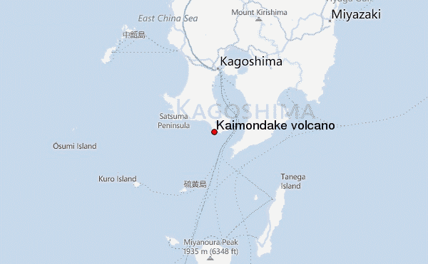
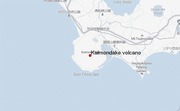
Select Kaimondake volcano Location Map Detail:
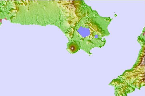
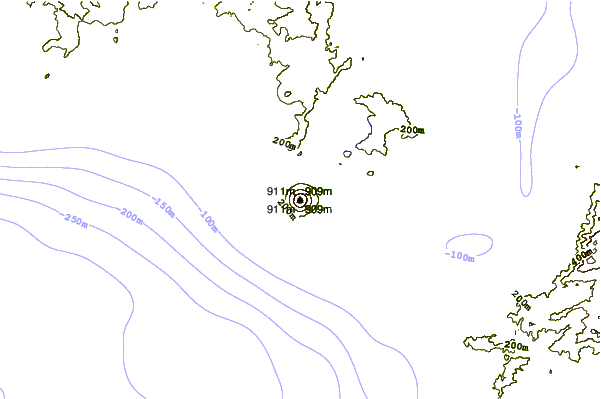
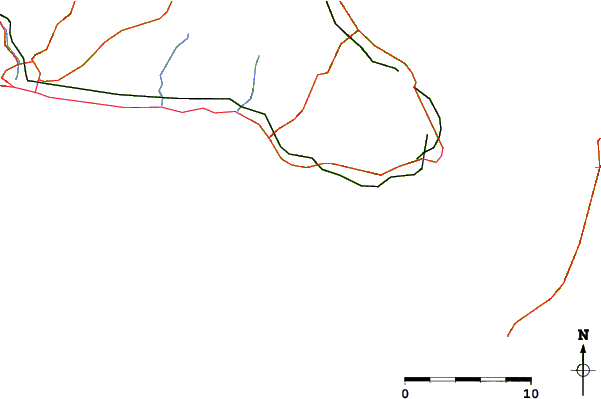
Use this relief map to navigate to mountain peaks in the area of Kaimondake volcano.
10 other mountain peaks closest to Kaimondake volcano:
 Kaimondake volcano – Climbing, Hiking & Mountaineering information
 Like us
 Follow us
